
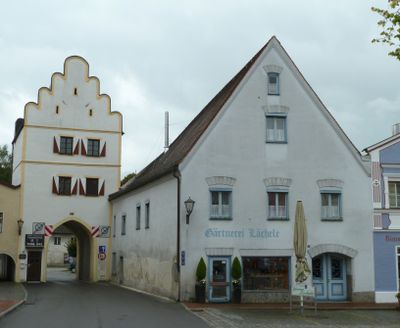
Unteres Tor, dreigeschossiger Wohnturm, Giebel mit rundbogigen Zinnen, bezeichnet mit dem Jahr „1542“, Dachwerk Dendrochronologie datiert 1656. (Haager Konvention zum Schutz von Kulturgut bei bewaffneten Konflikten)
Posizione: Neumarkt-Sankt Veit
Indirizzo: Stadtplatz 43
Coordinate GPS: 48.35987,12.50917
Ultimo aggiornamento: 3 marzo 2025 alle 22:00
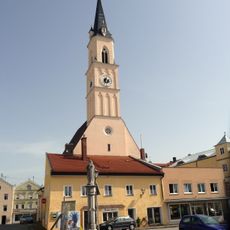
St. Johann Baptist
60 m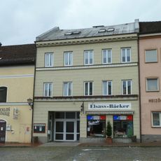
Wohn- und Geschäftshaus, sogenanntes Seiler Maier-Haus
126 m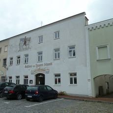
Gasthaus Zum Tragerwirt
216 m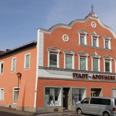
Apotheke, sogenannte Stadtapotheke
237 m
Wohn- und Geschäftshaus, sogenanntes Edelmann-Haus
156 m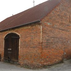
Stadel
115 m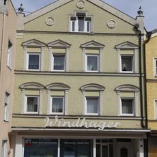
Wohn- und Geschäftshaus
94 m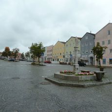
Stadtplatz
125 m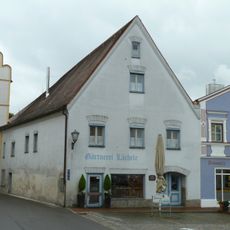
Ehemaliges Rathaus
16 m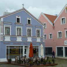
Wohn- und Geschäftshaus
28 m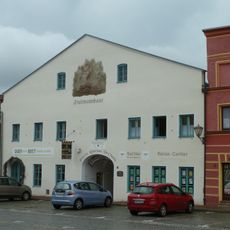
Ehemalige Brauerei Fruhmann
57 m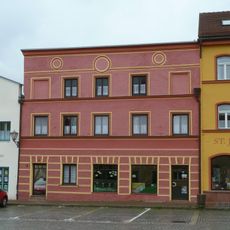
Metzgerei und Wohnhaus
69 m
Gasthof zur Post
191 m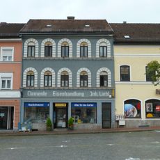
Eisenhandlung
100 m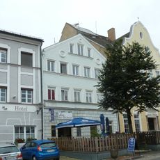
Ehemalige Bäckerei
206 m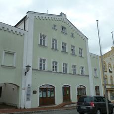
Ehemaliges Rathaus- und Bankgebäude
188 m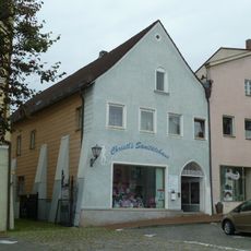
Wohn- und Geschäftshaus
169 m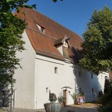
Ehemaliger herzoglicher Zehentkasten
87 m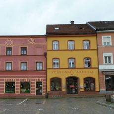
Apotheke, sogenannte St. Johannes-Apotheke
87 m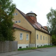
Ehemaliges Baywa-Lagerhaus
139 m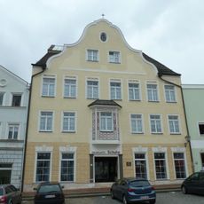
Ehemaliges Pfleggericht, dann Mädchenvolksschule, jetzt Wohn- und Geschäftshaus
219 m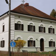
Wohnhaus
149 m
Wohn- und Geschäftshaus
67 m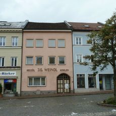
Wohnhaus
129 m
Wohn- und Geschäftshaus
168 m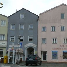
Wohnhaus
93 m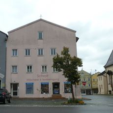
Wohn- und Geschäftshaus
84 m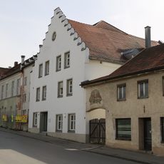
Brauereigasthof Genossenschaft
171 mRecensioni
Ha visitato questo luogo? Tocchi le stelle per valutarlo e condividere la Sua esperienza o foto con la community! Provalo ora! Puoi annullarlo in qualsiasi momento.
Scopri tesori nascosti ad ogni viaggio!
Da piccoli caffè caratteristici a panorami nascosti, fuggi dalla folla e scova i posti che fanno davvero per te. La nostra app ti semplifica tutto: ricerca vocale, filtri furbi, percorsi ottimizzati e dritte autentiche da viaggiatori di tutto il mondo. Scaricala subito per vivere l'avventura sul tuo smartphone!

Un nuovo approccio alla scoperta turistica❞
— Le Figaro
Tutti i luoghi che meritano di essere esplorati❞
— France Info
Un’escursione su misura in pochi clic❞
— 20 Minutes