
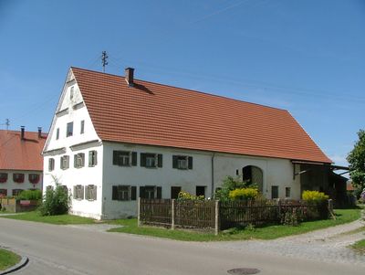
Bauernhaus, house in Sontheim, Germany
Posizione: Sontheim
Indirizzo: Dorfstraße 19
Coordinate GPS: 47.99473,10.34206
Ultimo aggiornamento: 3 marzo 2025 alle 01:21
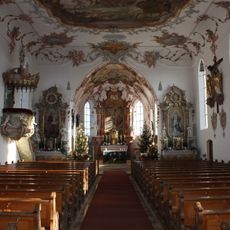
St. Martin
1.8 km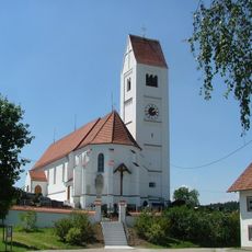
St. Andreas
595 m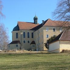
Benediktinerinnenkloster Klosterwald
4 km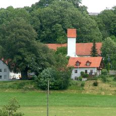
St. Stephan (Stephansried)
3.1 km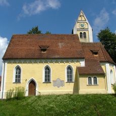
St. Stephan
3.4 km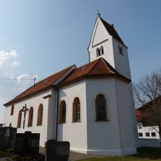
St. Peter
4.4 km
St. Gordianus and Epimachus
2.5 km
Gasthaus zum Adler
2.4 km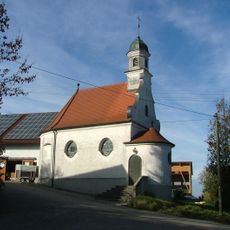
St. Joseph (Dennenberg)
3.6 km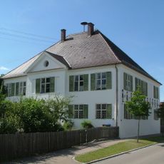
Rectory (Attenhausen)
222 m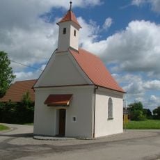
St. Leonhard (Eggisried)
4.3 km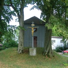
St. Joseph
405 m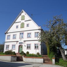
Rectory
2.5 km
Kapelle am Kapellenweg
4.5 km
Hochfirst
4.6 km
Kneippdenkmal Stephansried
3 km
Hundsmoor
3.6 km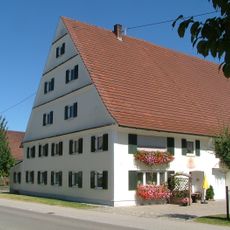
Bauernhaus
1.6 km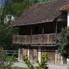
Wohnhaus
2.7 km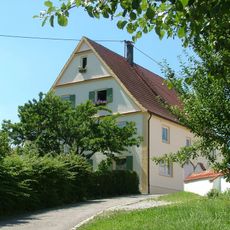
Wohnhaus
618 m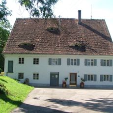
Ehemalige Mühle
565 m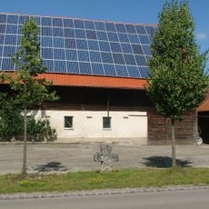
Steinkreuz
71 m
Ehemalige Dampfsägehalle
1.9 km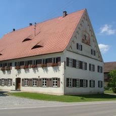
Ehemaliger Gasthof
1.7 km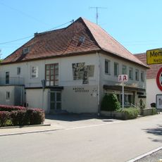
Schlößlestraße 9
4.7 km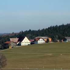
Bauernhaus
4.1 km
Ehemaliges Benediktinerinnenkloster St. Anna
3.9 km
Westliche Günz und Hundsmoor
3.9 kmRecensioni
Ha visitato questo luogo? Tocchi le stelle per valutarlo e condividere la Sua esperienza o foto con la community! Provalo ora! Puoi annullarlo in qualsiasi momento.
Scopri tesori nascosti ad ogni viaggio!
Da piccoli caffè caratteristici a panorami nascosti, fuggi dalla folla e scova i posti che fanno davvero per te. La nostra app ti semplifica tutto: ricerca vocale, filtri furbi, percorsi ottimizzati e dritte autentiche da viaggiatori di tutto il mondo. Scaricala subito per vivere l'avventura sul tuo smartphone!

Un nuovo approccio alla scoperta turistica❞
— Le Figaro
Tutti i luoghi che meritano di essere esplorati❞
— France Info
Un’escursione su misura in pochi clic❞
— 20 Minutes