
Stadelreihe, sechs eingeschossige Satteldachbauten in geschlossener Reihe, der nordöstliche mit halb abgewalmtem Dach, bezeichnet mit „1826“, teilweise älter, die beiden südwestlichen Stadel nach 1835
Posizione: Vilseck
Indirizzo: Schlichter Straße 6
Coordinate GPS: 49.61009,11.80369
Ultimo aggiornamento: 2 aprile 2025 alle 06:59
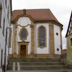
St. Ägidius
283 m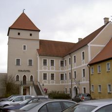
Vilstor
361 m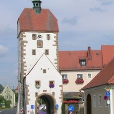
Vogelturm
225 m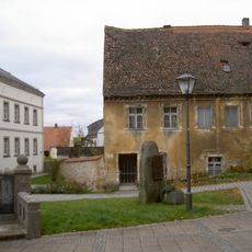
Pfarrhaus
316 m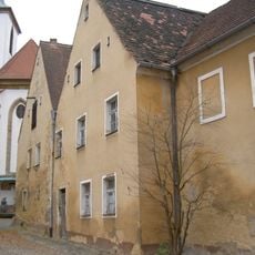
Ehemaliges Kaplanhaus
330 m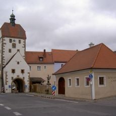
Zollhaus (Vilseck)
196 m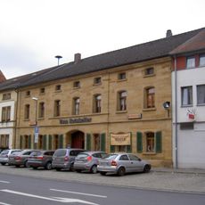
Wohnhaus
280 m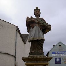
Nepomuk
204 m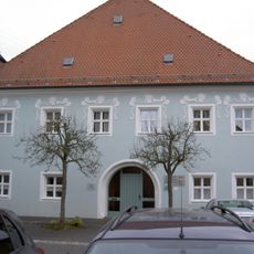
Hofanlage, sogenannter Hammerhof
382 m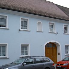
Ehemaliges Gasthaus
254 m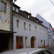
Vilseck Kirchgasse 2
242 m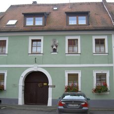
Vilseck Herrengasse 7
344 m
Vilseck Klostergasse 9
346 m
Wohnhaus
344 m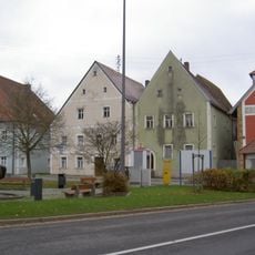
Wohnhaus
387 m
Wohnhaus
163 m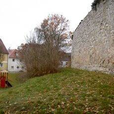
City walls of Vilseck
286 m
Wohnhaus
383 m
Ackerbürgerhaus
346 m
Ehemaliges Ackerbürgerhaus
314 m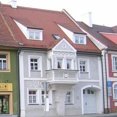
Wohnhaus, sogenanntes Wünnenberghaus
297 m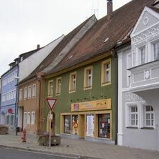
Ehemaliges Ackerbürgerhaus
285 m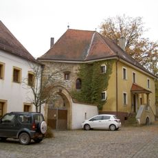
Vilseck Klostergasse 11
321 m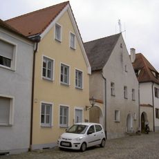
Ehemaliges Ackerbürgerhaus
368 m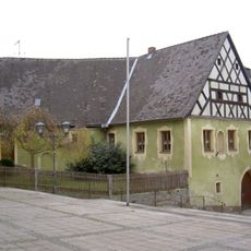
Frühmesshaus
256 m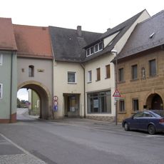
Ehemaliges Ackerbürgerhaus
122 m
Vorstadttor, sogenanntes Hafnertor
111 m
Ackerbürgerhaus
359 mRecensioni
Ha visitato questo luogo? Tocchi le stelle per valutarlo e condividere la Sua esperienza o foto con la community! Provalo ora! Puoi annullarlo in qualsiasi momento.
Scopri tesori nascosti ad ogni viaggio!
Da piccoli caffè caratteristici a panorami nascosti, fuggi dalla folla e scova i posti che fanno davvero per te. La nostra app ti semplifica tutto: ricerca vocale, filtri furbi, percorsi ottimizzati e dritte autentiche da viaggiatori di tutto il mondo. Scaricala subito per vivere l'avventura sul tuo smartphone!

Un nuovo approccio alla scoperta turistica❞
— Le Figaro
Tutti i luoghi che meritano di essere esplorati❞
— France Info
Un’escursione su misura in pochi clic❞
— 20 Minutes