
Stallstadel, obergeschoss mit Ständerbohlenwand und Traufschrot, Mitte 19. Jahrhundert
Posizione: Zeilarn
Indirizzo: Königsöd 21
Coordinate GPS: 48.31252,12.86287
Ultimo aggiornamento: 28 aprile 2025 alle 05:10
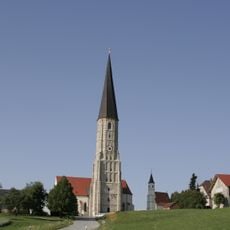
Wallfahrtskirche St. Ägidius (Schildthurn)
1.2 km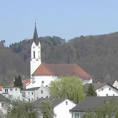
St. Oswald
6.8 km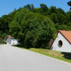
Burg Julbach
9.2 km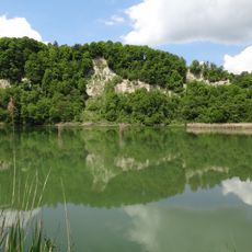
Innleite bei Marktl mit Dachlwand
5.5 km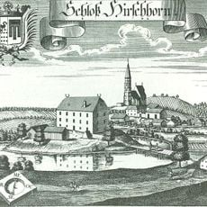
Schloss Hirschhorn
9.7 km
Sankt Peter und Paul (Tann, Lower Bavaria)
2.1 km
St. Alban
6.4 km
St. Bartholomäus
9.3 km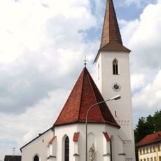
St. Martin (Zeilarn)
2.2 km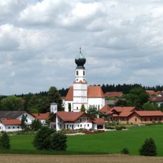
St. Michael
5.6 km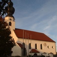
Mariä Himmelfahrt (Niedergottsau)
8 km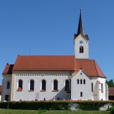
St. Petrus und Paulus (Erlbach)
5.8 km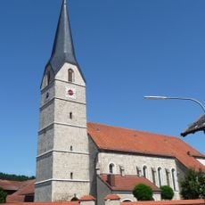
St. Laurentius
7.2 km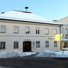
Rathaus Marktl
6.7 km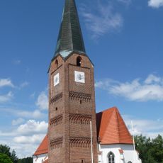
Katholische Pfarrkirche St. Maria, St. Philipp und St. Jakob
9.4 km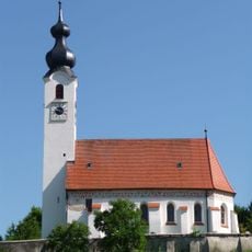
Mariä Himmelfahrt
8.8 km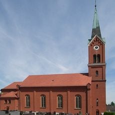
St. Andreas
7.4 km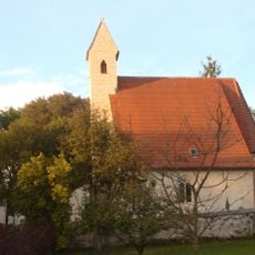
St. Nikolaus
7.4 km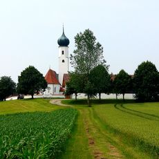
Katholische Filialkirche St. Michael
7.4 km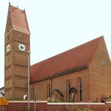
St. Walburga
6.4 km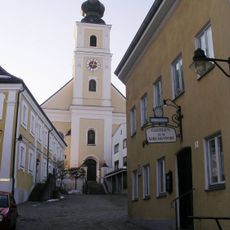
Gasthaus Kirchenwirt
2 km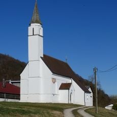
St. Andreas
7.9 km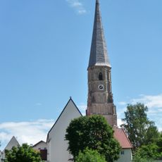
Katholische Pfarrkirche St. Alban
6.4 km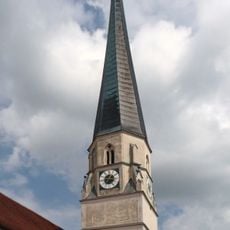
Katholische Pfarrkirche Mariä Himmelfahrt
4.5 km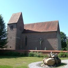
St. Rupert
3.8 km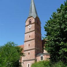
St. Stephanus (Reut)
5.8 km
LSG Dachlwand in den Gemeinden Perach, Schutzing, Marktlberg und dem Markt Marktl, Landkreis Altötting
6 km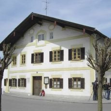
Ehemaliges Wohnhaus
6.7 kmRecensioni
Ha visitato questo luogo? Tocchi le stelle per valutarlo e condividere la Sua esperienza o foto con la community! Provalo ora! Puoi annullarlo in qualsiasi momento.
Scopri tesori nascosti ad ogni viaggio!
Da piccoli caffè caratteristici a panorami nascosti, fuggi dalla folla e scova i posti che fanno davvero per te. La nostra app ti semplifica tutto: ricerca vocale, filtri furbi, percorsi ottimizzati e dritte autentiche da viaggiatori di tutto il mondo. Scaricala subito per vivere l'avventura sul tuo smartphone!

Un nuovo approccio alla scoperta turistica❞
— Le Figaro
Tutti i luoghi che meritano di essere esplorati❞
— France Info
Un’escursione su misura in pochi clic❞
— 20 Minutes