
Staumauer-Anlage, aus Natursteinblöcken, Teil des ehemaligen Verteidigungssystems des Schlosses, 1. Hälfte 17. Jahrhundert
Posizione: Windorf
Indirizzo: Staumauer-Anlage
Coordinate GPS: 48.65497,13.24742
Ultimo aggiornamento: 8 aprile 2025 alle 23:44
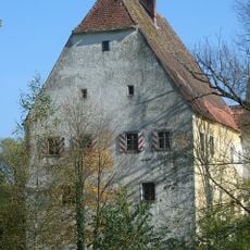
Schloss Aicha vorm Wald
3.9 km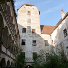
Schloss Rathsmannsdorf
180 m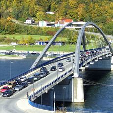
Marienbrücke
4.9 km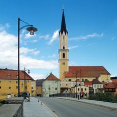
Sankt Johannes der Täufer in Vilshofen an der Donau
4.9 km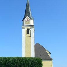
St. Petrus und Paulus
3.7 km
Pullman City
4.8 km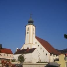
St. Jakobus
3.9 km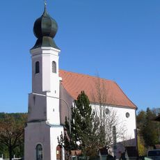
Ehemalige katholische Pfarrkirche St. Ulrich
376 m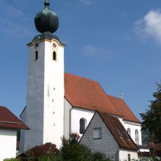
St. Michael
4.8 km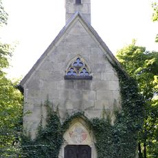
Albersdorfer Hauptstraße 1 - Wegkapelle
4.9 km
Ehemalige Schwarzensteiner Kapelle, jetzt Wohnhaus
4.9 km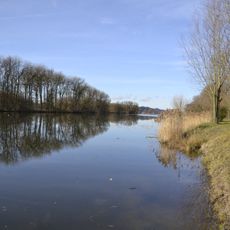
LSG Donauengtal Gelbersdorf-Windorf-Otterskirchen mit Donauinseln
4.3 km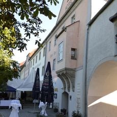
Wittelsbacher Zollhaus
5 km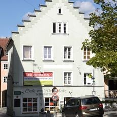
Wohnhaus
4.9 km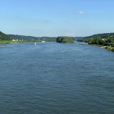
Vilshofener Donau-Engtal
2.4 km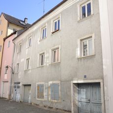
Wohnhaus
5 km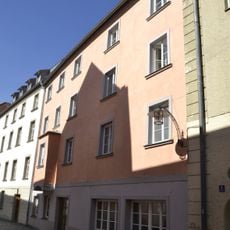
Wohnhaus
5 km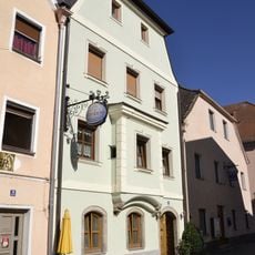
Wohnhaus
5 km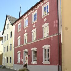
Wohnhaus
5 km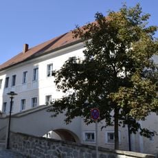
Pfarrhaus, ehemals Chorherrenstift
4.9 km
Wohnhaus
4.9 km
Reliefbüste eines Mannes
4.9 km
Wohnhaus
4.9 km
Wohn- und Geschäftshaus
5 km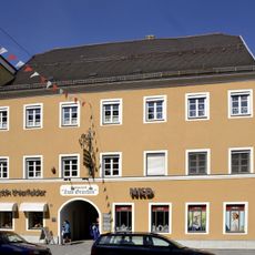
Gasthof Post
5 km
Wohn- und Geschäftshaus
5 km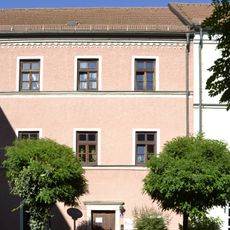
Wohnhaus
4.9 km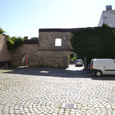
Rest der Stadtmauer
4.5 kmRecensioni
Ha visitato questo luogo? Tocchi le stelle per valutarlo e condividere la Sua esperienza o foto con la community! Provalo ora! Puoi annullarlo in qualsiasi momento.
Scopri tesori nascosti ad ogni viaggio!
Da piccoli caffè caratteristici a panorami nascosti, fuggi dalla folla e scova i posti che fanno davvero per te. La nostra app ti semplifica tutto: ricerca vocale, filtri furbi, percorsi ottimizzati e dritte autentiche da viaggiatori di tutto il mondo. Scaricala subito per vivere l'avventura sul tuo smartphone!

Un nuovo approccio alla scoperta turistica❞
— Le Figaro
Tutti i luoghi che meritano di essere esplorati❞
— France Info
Un’escursione su misura in pochi clic❞
— 20 Minutes