
Einfirsthof, eingeschossiger Steildachbau mit Sandsteingewänden, Stallteil mit Rundbogeneingang, nach Süden erhöhter Stadel, bezeichnet „1829“
Posizione: Grafenwöhr
Indirizzo: Haidenaabweg 4
Coordinate GPS: 49.69670,11.95650
Ultimo aggiornamento: 10 aprile 2025 alle 04:03
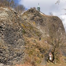
Basaltkegel Parkstein
9 km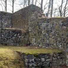
Burg Parkstein
9 km
Schloss Steinfels
4.6 km
Wallfahrtskirche Maria Hilf
4.9 km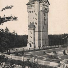
Wasserturm (Grafenwöhr)
4.2 km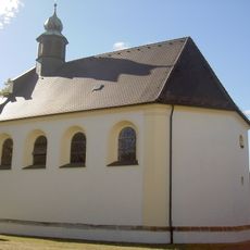
St. Moritz
8.6 km
St. Georg
8.3 km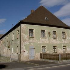
Forstamt Mantel
8.2 km
Schloss Rupprechtsreuth
8.3 km
St. Martin (Kaltenbrunn bei Weiherhammer, katholisch)
4.7 km
Mariä Himmelfahrt
4.5 km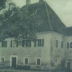
Ehemaliges Schloss
430 m
St. Martin (Kaltenbrunn)
4.8 km
Katholische Expositurkirche St. Peter und Paul
7.8 km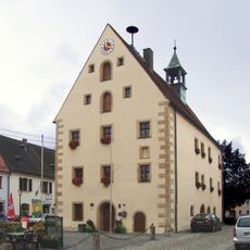
Rathaus Grafenwöhr
4.6 km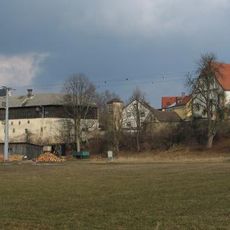
Evangelisch-Lutherische Pfarrkirche St. Peter und Paul
7.9 km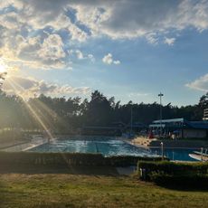
Städtisches Waldbad Grafenwöhr
3.4 km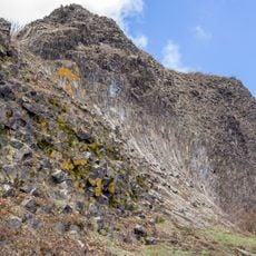
Parkstein
9 km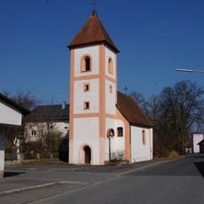
St. Laurentius
1.9 km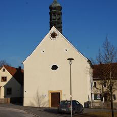
St. Katharina
7.7 km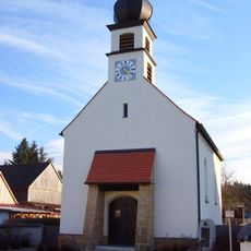
Maria Immaculata
6.3 km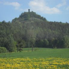
LSG Oberpfälzer Hügelland im westlichen Landkreis Neustadt a.d.Waldnaab
5.9 km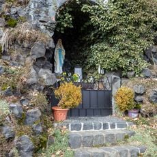
Lourdeskapelle
9 km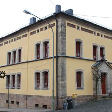
Pfarrhof (Pressath)
8.3 km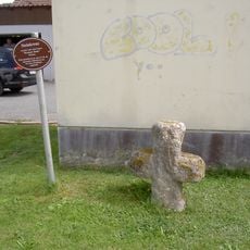
Steinkreuz
8 km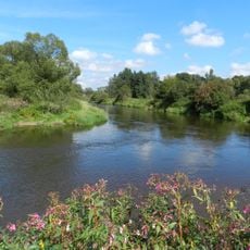
Heidenaab, Creussenaue und Weihergebiet nordwestlich Eschenbach
1.5 km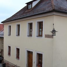
Altes Schulhaus
8.3 km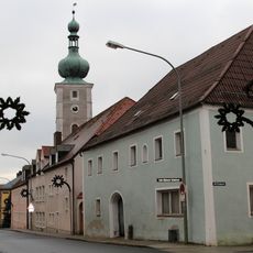
Ehemaliger Gasthof
8.4 kmRecensioni
Ha visitato questo luogo? Tocchi le stelle per valutarlo e condividere la Sua esperienza o foto con la community! Provalo ora! Puoi annullarlo in qualsiasi momento.
Scopri tesori nascosti ad ogni viaggio!
Da piccoli caffè caratteristici a panorami nascosti, fuggi dalla folla e scova i posti che fanno davvero per te. La nostra app ti semplifica tutto: ricerca vocale, filtri furbi, percorsi ottimizzati e dritte autentiche da viaggiatori di tutto il mondo. Scaricala subito per vivere l'avventura sul tuo smartphone!

Un nuovo approccio alla scoperta turistica❞
— Le Figaro
Tutti i luoghi che meritano di essere esplorati❞
— France Info
Un’escursione su misura in pochi clic❞
— 20 Minutes