
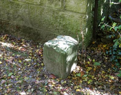
Forstgrenzstein Heinrich-Cotta-Straße 19, Grenzstein der zweiten Forstverrainung unter Heinrich Cotta, mit Königskrone (101,7), ortsgeschichtlich von Bedeutung
Posizione: Tharandt
Inizio: 1740
Indirizzo: Heinrich-Cotta-Straße 19 (hinter)
Coordinate GPS: 50.98241,13.58053
Ultimo aggiornamento: 10 marzo 2025 alle 04:30
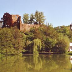
Burg Tharandt
35 m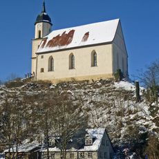
Bergkirche Tharandt
166 m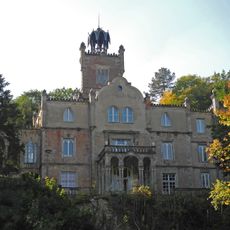
Schloss Tharandt
88 m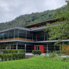
Branch library of forestry Tharandt
206 m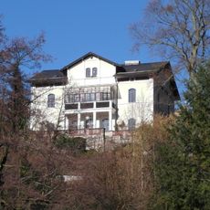
Stöckhardt Villa
16 m
Villa Judeich
201 m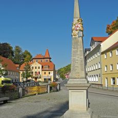
Polish-Saxon Post Milestone in Tharandt
134 m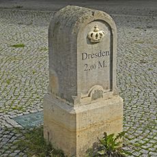
Kgl.-sächs. Postmeilenstein Tharandt Markt
169 m
Villa Peace
206 m
Alte Forstakademie, Tharandt
151 m
Kuppelhalle Tharandt
184 m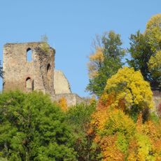
Burgruine Tharandt, inkl. Stützmauern Kirchweg -
78 m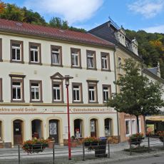
Wohn- und Geschäftshaus in geschlossener Bebauung Am Markt 8
163 m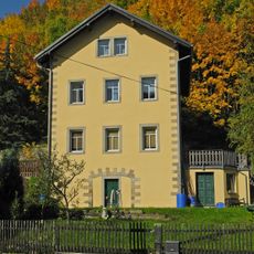
Wohnhaus Am Mühlgraben 8
110 m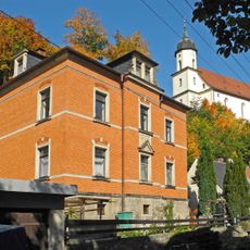
Wohnhaus in offener Bebauung Am Mühlgraben 6
128 m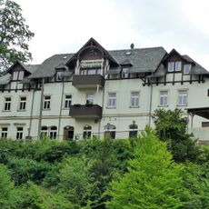
Burgkeller
133 m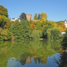
Schlossteich Pienner Straße
113 m
Wohnhaus Pienner Straße 6
193 m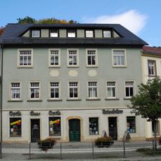
Am Markt 10
152 m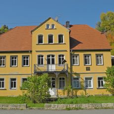
House 10 Pienner Street
128 m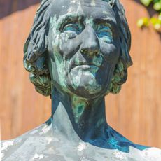
Cottadenkmal
71 m
House 16 Pienner Street
152 m
House 5 Roßmäßler Street
198 m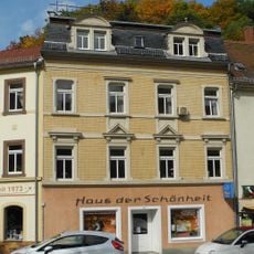
Wohnhaus in geschlossener Bebauung Am Markt 6
177 m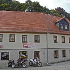
Wohnhaus Roßmäßlerstraße 3
158 m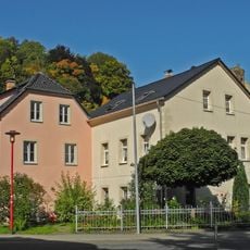
Zwei Wohnhäuser Pienner Straße 18; 18a
139 m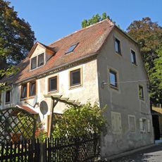
Wohnhaus Schulberg 1
201 m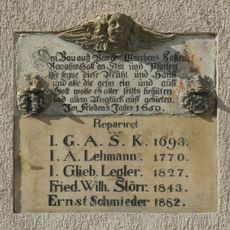
Inschrifttafel der ehemaligen Schlossmühle Am Mühlgraben 10
93 mRecensioni
Ha visitato questo luogo? Tocchi le stelle per valutarlo e condividere la Sua esperienza o foto con la community! Provalo ora! Puoi annullarlo in qualsiasi momento.
Scopri tesori nascosti ad ogni viaggio!
Da piccoli caffè caratteristici a panorami nascosti, fuggi dalla folla e scova i posti che fanno davvero per te. La nostra app ti semplifica tutto: ricerca vocale, filtri furbi, percorsi ottimizzati e dritte autentiche da viaggiatori di tutto il mondo. Scaricala subito per vivere l'avventura sul tuo smartphone!

Un nuovo approccio alla scoperta turistica❞
— Le Figaro
Tutti i luoghi che meritano di essere esplorati❞
— France Info
Un’escursione su misura in pochi clic❞
— 20 Minutes