
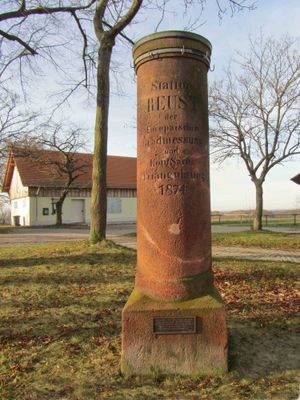
Station 22 Reust, Triangulation Column, 1nd Order Station, the Royal Saxon Triangulation in Saxony 1862-1890
Posizione: Rückersdorf
Inizio: 1874
Parte di: Royal Saxon triangulation network
Coordinate GPS: 50.83137,12.19517
Ultimo aggiornamento: 3 marzo 2025 alle 03:48

Burg Posterstein
5.4 km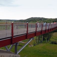
Drachenschwanz Brücke
3.5 km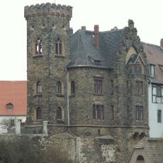
Schloss Ronneburg
3.6 km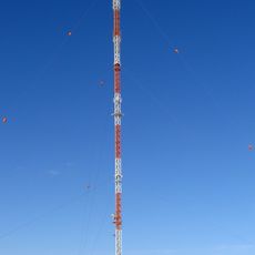
Sender Gera-Ronneburg
2.7 km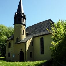
Burgkirche Posterstein
5.4 km
Rittergut Kaimberg
5.7 km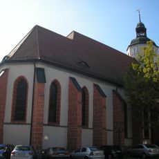
Stadtkirche St. Marien
3.6 km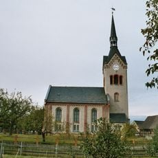
Dorfkirche Nischwitz
5.7 km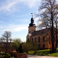
Kirche Rückersdorf
1.9 km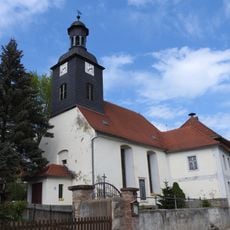
Kirche Kauern
3.8 km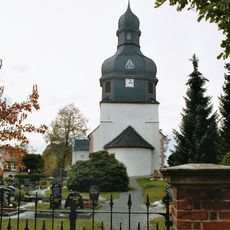
Protestant Church Linda
2.8 km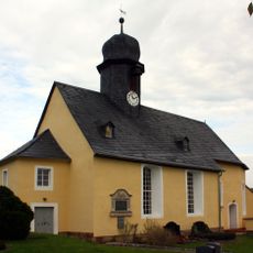
St. Elisabeth (Letzendorf)
5 km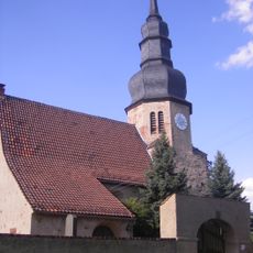
Protestant Church (Heukewalde)
5.3 km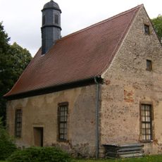
Church Kaimberg
5.7 km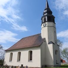
Protestant Church Hilbersdorf
3.4 km
Kirche Gauern
4.4 km
Protestant Church (Reust)
476 m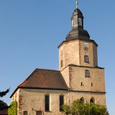
Protestant Church (Paitzdorf)
2.5 km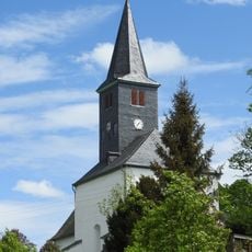
Protestant Church (Haselbach)
3.1 km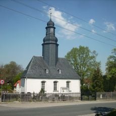
Protestant Church (Vogelgesang)
4.2 km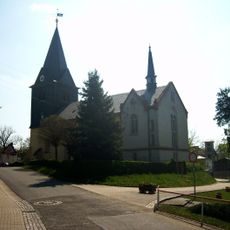
Protestant Church (Braunichswalde)
4 km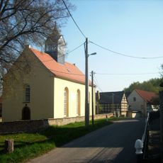
Protestant Church (Mennsdorf)
3.6 km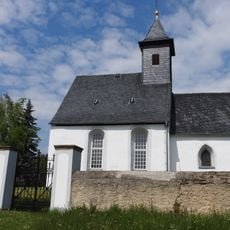
Protestant Church (Pohlen)
3.4 km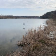
Talsperre Pohlen
4.1 km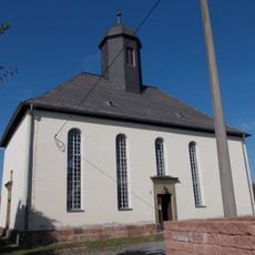
Protestant Church (Raitzhain)
4.2 km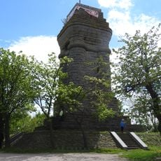
Bismarck Tower
27 m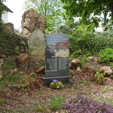
War memorial Haselbach (Rückersdorf)
3.1 km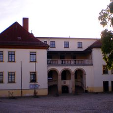
Schloss Kauern
3.8 kmRecensioni
Ha visitato questo luogo? Tocchi le stelle per valutarlo e condividere la Sua esperienza o foto con la community! Provalo ora! Puoi annullarlo in qualsiasi momento.
Scopri tesori nascosti ad ogni viaggio!
Da piccoli caffè caratteristici a panorami nascosti, fuggi dalla folla e scova i posti che fanno davvero per te. La nostra app ti semplifica tutto: ricerca vocale, filtri furbi, percorsi ottimizzati e dritte autentiche da viaggiatori di tutto il mondo. Scaricala subito per vivere l'avventura sul tuo smartphone!

Un nuovo approccio alla scoperta turistica❞
— Le Figaro
Tutti i luoghi che meritano di essere esplorati❞
— France Info
Un’escursione su misura in pochi clic❞
— 20 Minutes