
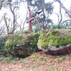
Hoxberg I u. II, protected area in the European Union defined by the habitats directive in Saarland, Germany
Posizione: Lebach
Inizio: 1999
Coordinate GPS: 49.39067,6.88140
Ultimo aggiornamento: 25 giugno 2025 alle 20:45
Kaltenstein
716 m
St. Marien
3.1 km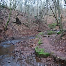
Mühlenbach Schluchtentour
4.5 km
St. Antonius von Padua
4.6 km
Kaltensteinpfad
1.5 km
Wünsch-Berg
3.4 km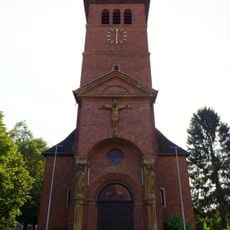
St. Michael
3.3 km
St. Laurentius
5.1 km
Alte Burg Labach
2.9 km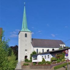
Herz-Jesu-Kirche (Bilsdorf)
4.3 km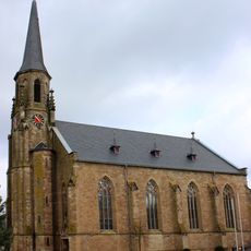
St. Marien
3.3 km
St. Donatus
3 km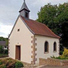
St. Lucia
1.2 km
Hootzemonn-Weg
4.1 km
St. Erasmus
5 km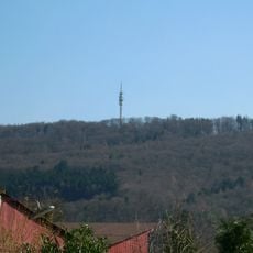
Hoxberg
10 m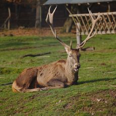
Wildfreigehege Wolfsrat
4.7 km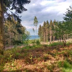
Landschaftsschutzgebiet im Landkreis Saarlouis - im Bereich der Gemeinden Nalbach und Lebach
740 m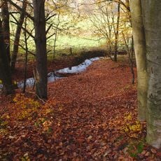
Landschaftsschutzgebiet im Landkreis Saarlouis - im Bereich der Gemeinden Saarwellingen (und Lebach)
3.3 km
Lebach signal box
2.8 km
Stolperstein dedicated to Bernhard Hanau
4.2 km
Hofgut zur Motte
1.8 km
Stolperstein dedicated to Frieda Hanau
4.2 km
Schoenstatt Shrine at the Wünschberg
3.1 km
Hochbehälter
3.3 km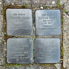
Stolperstein dedicated to Bertha Hanau
4.2 km
Stolperstein dedicated to Sibilla Hanau
4.2 km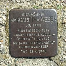
Stolperstein dedicated to Margaretha Weber
4.5 kmRecensioni
Ha visitato questo luogo? Tocchi le stelle per valutarlo e condividere la Sua esperienza o foto con la community! Provalo ora! Puoi annullarlo in qualsiasi momento.
Scopri tesori nascosti ad ogni viaggio!
Da piccoli caffè caratteristici a panorami nascosti, fuggi dalla folla e scova i posti che fanno davvero per te. La nostra app ti semplifica tutto: ricerca vocale, filtri furbi, percorsi ottimizzati e dritte autentiche da viaggiatori di tutto il mondo. Scaricala subito per vivere l'avventura sul tuo smartphone!

Un nuovo approccio alla scoperta turistica❞
— Le Figaro
Tutti i luoghi che meritano di essere esplorati❞
— France Info
Un’escursione su misura in pochi clic❞
— 20 Minutes