
Wälder am Hohn, protected area in the European Union defined by the habitats directive in Rheinland-Pfalz, Germany
Posizione: Dümpelfeld
Posizione: Reifferscheid
Posizione: Leimbach
Inizio: 2003
Coordinate GPS: 50.41730,6.91890
Ultimo aggiornamento: 25 luglio 2025 alle 04:25
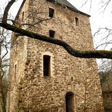
Wensburg
6.6 km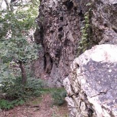
Teufelsley
5.5 km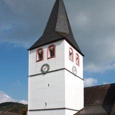
St. Gertrud, Schuld
3.9 km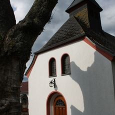
St. Apollinaris
3.2 km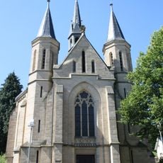
Lady Chapel Adenau
3.8 km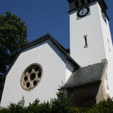
Church of the redeemer
3.9 km
Hand-weaving Museum
6.8 km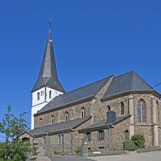
St. Michael (Reifferscheid)
2.9 km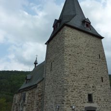
St. Cyriakus (Dümpelfeld)
3 km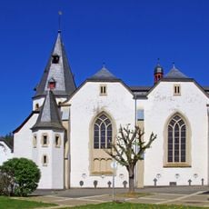
St. John the Baptist
3.9 km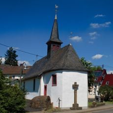
St. Rochus and Sebastian
5.3 km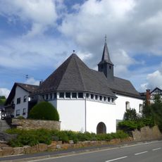
St. Katharina (Müsch)
7.2 km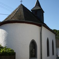
St. Josef (Fuchshofen)
4.9 km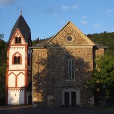
St. Servatius
7.1 km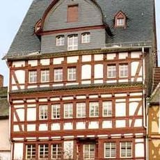
Markt 8
3.9 km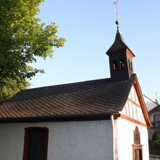
Buttermarktkapelle St. Michael
4.4 km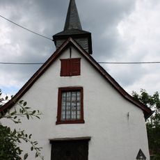
St. Agatha und Lutger (Lückenbach)
938 m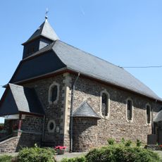
St. Hubertus
6 km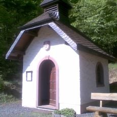
Wallfahrtskapelle Müllenwirft
5.7 km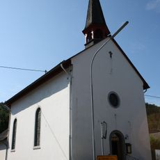
St. Rochus und Sebastian
2.5 km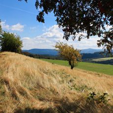
Hürs-Nück
2.4 km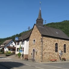
St. Maria Magdalena
1.6 km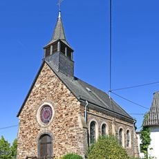
St. Rochus (Rodder)
5 km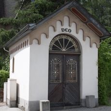
Kapelle Walporzheimer Straße (Ahrweiler)
3.9 km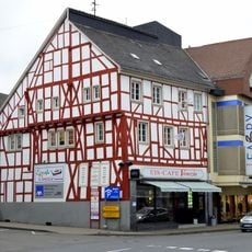
Hauptstraße 86
4 km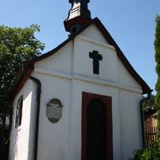
Pefferschöffskapelle
5.6 km
Markt 4
3.9 km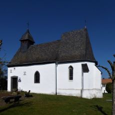
Chapel of St Qurinus
7.1 kmRecensioni
Ha visitato questo luogo? Tocchi le stelle per valutarlo e condividere la Sua esperienza o foto con la community! Provalo ora! Puoi annullarlo in qualsiasi momento.
Scopri tesori nascosti ad ogni viaggio!
Da piccoli caffè caratteristici a panorami nascosti, fuggi dalla folla e scova i posti che fanno davvero per te. La nostra app ti semplifica tutto: ricerca vocale, filtri furbi, percorsi ottimizzati e dritte autentiche da viaggiatori di tutto il mondo. Scaricala subito per vivere l'avventura sul tuo smartphone!

Un nuovo approccio alla scoperta turistica❞
— Le Figaro
Tutti i luoghi che meritano di essere esplorati❞
— France Info
Un’escursione su misura in pochi clic❞
— 20 Minutes