
Tanger-Mittel- und Unterlauf, protected area in the European Union defined by the habitats directive in Sachsen-Anhalt, Germany
Posizione: Tangerhütte
Posizione: Tangermünde
Inizio: 2000
Coordinate GPS: 52.49167,11.85417
Ultimo aggiornamento: 16 aprile 2025 alle 03:59
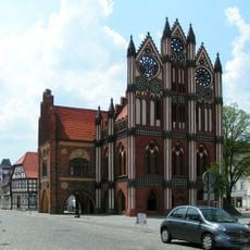
Rathaus Tangermünde
9.6 km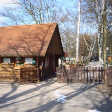
Wildpark Weißewarte
2.6 km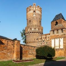
Neustädter Tor, Tangermünde
9.4 km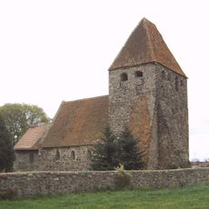
Protestant Church Buchholz (Altmark)
7.1 km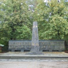
Sowjetischer Ehrenfriedhof Stendal
9.8 km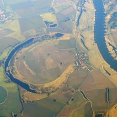
Schelldorfer See
7.8 km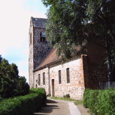
Protestant Church Miltern
9.1 km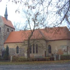
Dorfkirche Lüderitz
7.8 km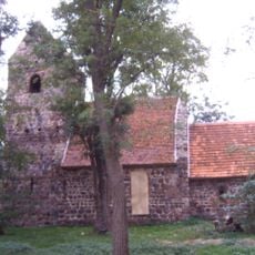
Church Welle
5 km
Herrenhaus Groß Schwarzlosen
7 km
Dorfkirche Heeren
5.9 km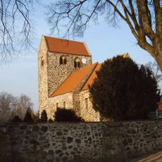
Dorfkirche Dahlen
7.9 km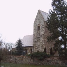
Dorfkirche Gohre
7.9 km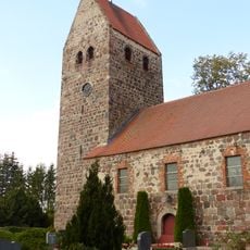
Protestant Church (Bellingen)
2.9 km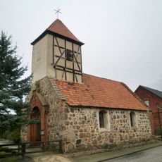
Dorfkirche Schleuß
9 km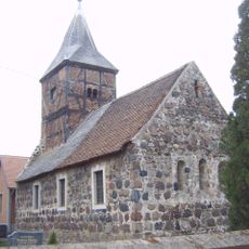
Dorfkirche Dahrenstedt
5.8 km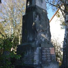
Kriegerdenkmal Miltern
9.1 km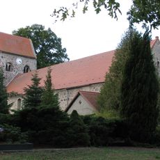
Protestant Church Groß Schwarzlosen
6.8 km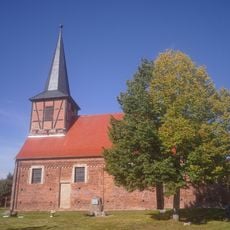
Dorfkirche Jerchel
6.9 km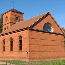
Protestant Church Bölsdorf
5.3 km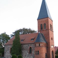
Protestant Church (Hüselitz)
3.7 km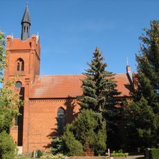
Protestant Church Weißewarte
3.3 km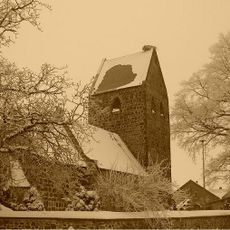
Protestant Church Elversdorf
2.8 km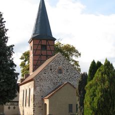
Protestant Church Stegelitz
6.2 km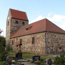
Protestant Church (Demker)
1.7 km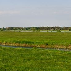
Tanger-Elbeniederung
6.4 km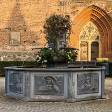
Stadtbrunnen Tangermuende
9.9 km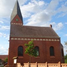
Protestant Church Schelldorf
8.8 kmRecensioni
Ha visitato questo luogo? Tocchi le stelle per valutarlo e condividere la Sua esperienza o foto con la community! Provalo ora! Puoi annullarlo in qualsiasi momento.
Scopri tesori nascosti ad ogni viaggio!
Da piccoli caffè caratteristici a panorami nascosti, fuggi dalla folla e scova i posti che fanno davvero per te. La nostra app ti semplifica tutto: ricerca vocale, filtri furbi, percorsi ottimizzati e dritte autentiche da viaggiatori di tutto il mondo. Scaricala subito per vivere l'avventura sul tuo smartphone!

Un nuovo approccio alla scoperta turistica❞
— Le Figaro
Tutti i luoghi che meritano di essere esplorati❞
— France Info
Un’escursione su misura in pochi clic❞
— 20 Minutes