
Simsseegebiet, protected area in the European Union defined by the habitats directive in Bayern, Germany
Posizione: Rosenheim
Inizio: 2004
Coordinate GPS: 47.86927,12.24838
Ultimo aggiornamento: 5 marzo 2025 alle 02:18

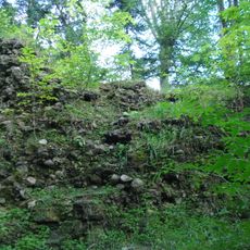
Burgruine Speckerturm
3 km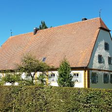
Schloss Farnach
3.4 km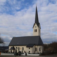
Maria Stern
2.9 km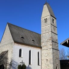
Mariä Himmelfahrt
2.4 km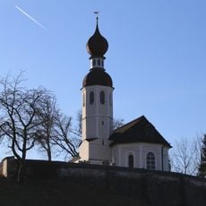
St. Andreas
3 km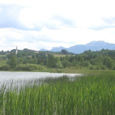
Schutz des Simssees und seiner Umgebung
773 m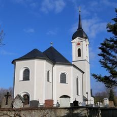
St. Rupert und Martin
3.8 km
Filialkirche St. Magdalena
3.2 km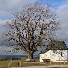
Maria Dolorosa
3.8 km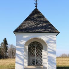
Feldkapelle Holzen
1.4 km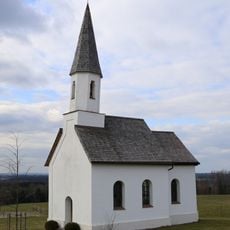
Kapelle Petzgersdorf
3.7 km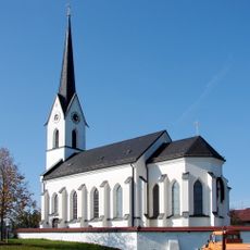
St. Stephanus und Laurentius
861 m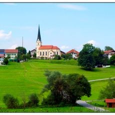
St. Peter
3.9 km
LSG Moor- und Tallandschaften bei Söchtenau
3.7 km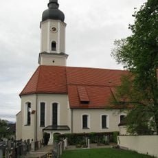
Church of Presentation of Virgin Mary
4.5 km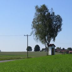
Kapelle
2.4 km
Pestkreuz
3.9 km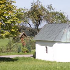
Wegkapelle
2 km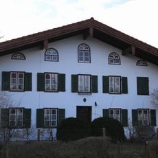
Ehem. Bauernhaus
3.8 km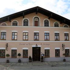
Gasthaus
3.7 km
Bauernhaus
3.6 km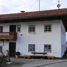
Wohnteil des Bauernhauses
3.8 km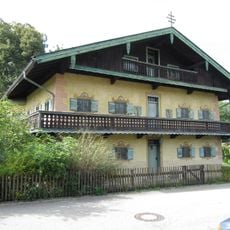
Ehemaliges Pfarrhaus
3.4 km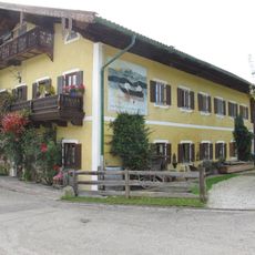
Fischerstraße 7
3.4 km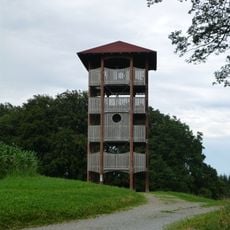
Ratzinger Höhe Observation Tower
3.4 km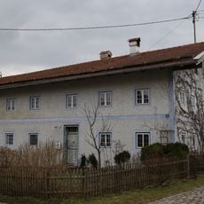
Ehem. Bauernhaus
2.7 km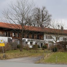
Ehem. Bauernhaus
2.7 km
Salzburger Straße 1
4.3 kmRecensioni
Ha visitato questo luogo? Tocchi le stelle per valutarlo e condividere la Sua esperienza o foto con la community! Provalo ora! Puoi annullarlo in qualsiasi momento.
Scopri tesori nascosti ad ogni viaggio!
Da piccoli caffè caratteristici a panorami nascosti, fuggi dalla folla e scova i posti che fanno davvero per te. La nostra app ti semplifica tutto: ricerca vocale, filtri furbi, percorsi ottimizzati e dritte autentiche da viaggiatori di tutto il mondo. Scaricala subito per vivere l'avventura sul tuo smartphone!

Un nuovo approccio alla scoperta turistica❞
— Le Figaro
Tutti i luoghi che meritano di essere esplorati❞
— France Info
Un’escursione su misura in pochi clic❞
— 20 Minutes