
Trauf der südlichen Frankenalb, protected area in the European Union defined by the habitats directive in Bayern, Germany
Posizione: Roth
Posizione: Weißenburg-Gunzenhausen
Posizione: Eichstätt
Inizio: 2004
Coordinate GPS: 49.04712,11.06045
Ultimo aggiornamento: 3 marzo 2025 alle 01:10

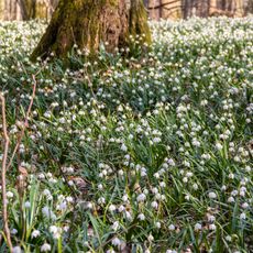
Märzenbecherwald bei Ettenstatt
2.7 km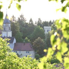
Schloss Geyern
3.3 km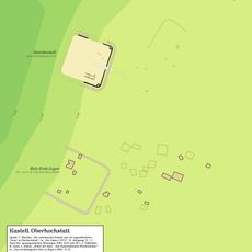
Castra of Oberhochstatt
1.5 km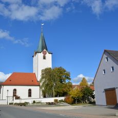
St. Koloman
3.2 km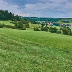
Quellhorizonte und Magerrasen am Albtrauf bei Niederhofen
3.2 km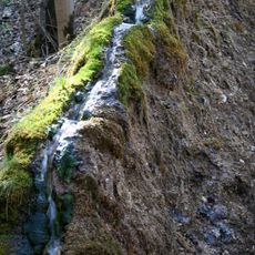
Steinerne Rinne
957 m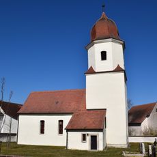
St. Nikolaus
1.9 km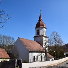
St. Martin
2.1 km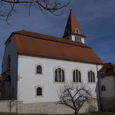
St. Nikolaus (Pfraunfeld)
2.8 km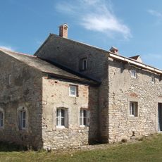
Wohnstallhaus
2 km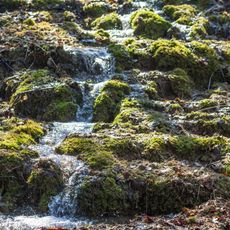
Junge Steinerne Rinne bei Rohrbach
638 m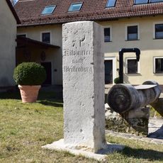
Kilometerstein, Im Tal
2 km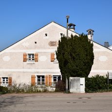
Wohnstallhaus, Nr. 20
2 km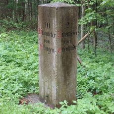
Bayrischer Kilometerstein
3.3 km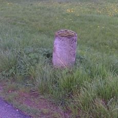
Bayrische Stundensäule I
3.1 km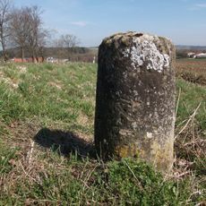
Bayrische Stundensäule II
2.9 km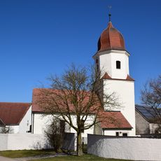
Friedhofsmauer Kaltenbuch 25; Kaltenbuch 27 in Bergen (Mittelfranken)
1.9 km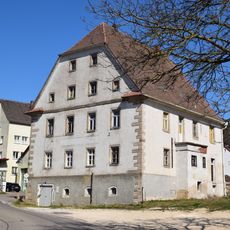
Gasthaus
2.4 km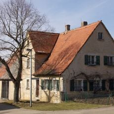
Wohnstallhaus
2.3 km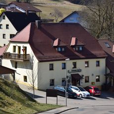
Gasthaus
2 km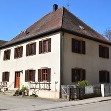
Bauernhaus
2.4 km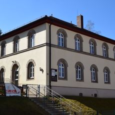
Ehemaliges Schulhaus, Gemeindeamt
2.1 km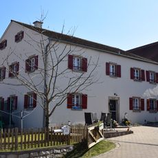
Bauernhaus
1.9 km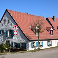
Wohnstallhaus mit Nebengebäude, Nr. 28
1.9 km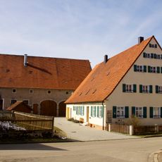
Bauernhaus eines Dreiseithofes
2.2 km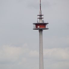
Fernmeldeturm Burgsalach
2 km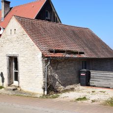
Nebengebäude Kaltenbuch 28 in Bergen (Mittelfranken)
2 km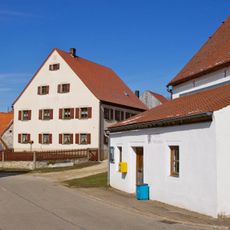
Ehemaliges Gasthaus, Bauernhaus
2.2 kmRecensioni
Ha visitato questo luogo? Tocchi le stelle per valutarlo e condividere la Sua esperienza o foto con la community! Provalo ora! Puoi annullarlo in qualsiasi momento.
Scopri tesori nascosti ad ogni viaggio!
Da piccoli caffè caratteristici a panorami nascosti, fuggi dalla folla e scova i posti che fanno davvero per te. La nostra app ti semplifica tutto: ricerca vocale, filtri furbi, percorsi ottimizzati e dritte autentiche da viaggiatori di tutto il mondo. Scaricala subito per vivere l'avventura sul tuo smartphone!

Un nuovo approccio alla scoperta turistica❞
— Le Figaro
Tutti i luoghi che meritano di essere esplorati❞
— France Info
Un’escursione su misura in pochi clic❞
— 20 Minutes