
Vermoorung südwestlich Falkenstein, protected area in the European Union defined by the habitats directive in Bayern, Germany
Posizione: Cham
Inizio: 2004
Coordinate GPS: 49.08317,12.47277
Ultimo aggiornamento: 6 aprile 2025 alle 16:41
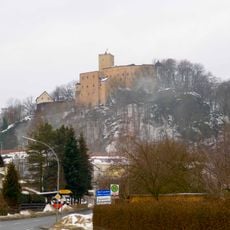
Burg Falkenstein
2 km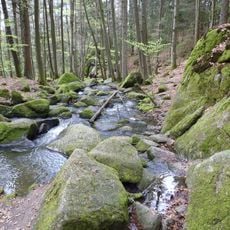
Hölle
3.3 km
Burgruine Sengersberg
5.1 km
Tannerl
540 m
Schlosspark Falkenstein
2.2 km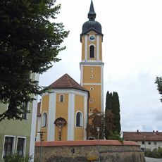
St. Laurentius
2 km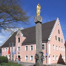
Rathaus, ehemaliges Pflegamt
2 km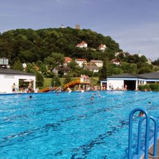
Freibad Falkenstein
1.8 km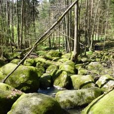
Blockmeer im NSG "Hölle" NW von Postfelden
3.2 km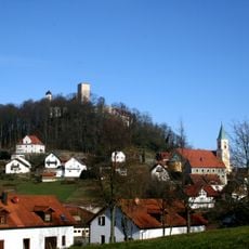
Katholische Marktkirche St. Sebastian
1.9 km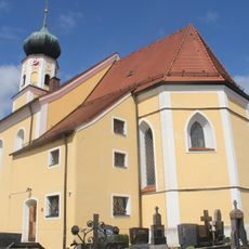
Katholische Pfarrkirche St. Valentin
1.3 km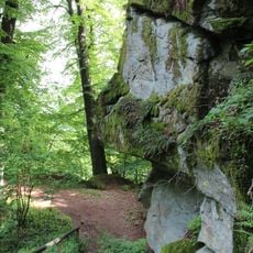
Burgberg Falkenstein
2 km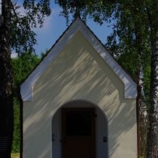
Hofkapelle St. Maria
5.1 km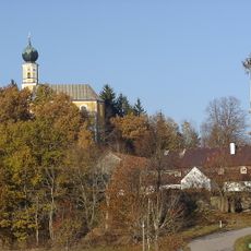
Church of St. Peter and Paul
4.4 km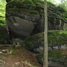
Froschmaul am Burgberg Falkenstein
2.1 km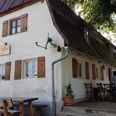
Gasthaus
4.3 km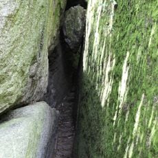
Herzbeutelgässchen am Burgberg NW von Falkenstein
2 km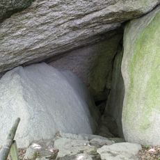
Hohler Stein am Burgberg NW von Falkenstein
2 km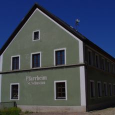
Ehemaliges Schulhaus
1.9 km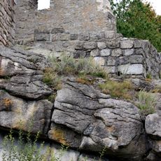
Burgberg bei Brennberg
5.5 km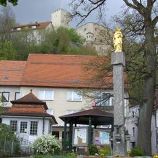
Marienfigur
1.9 km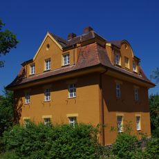
Wohnhaus für Bahnbedienstete
2 km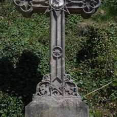
Wegkreuz
1.9 km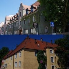
Gasthof
1.9 km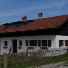
Waldlerhaus
1.3 km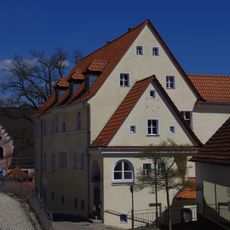
Wohnhaus
1.9 km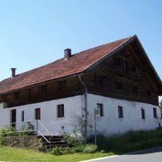
Bauernhaus mit Blockbau-Obergeschoss und Steilsatteldach
5.5 km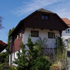
Wohnhaus
1.9 kmRecensioni
Ha visitato questo luogo? Tocchi le stelle per valutarlo e condividere la Sua esperienza o foto con la community! Provalo ora! Puoi annullarlo in qualsiasi momento.
Scopri tesori nascosti ad ogni viaggio!
Da piccoli caffè caratteristici a panorami nascosti, fuggi dalla folla e scova i posti che fanno davvero per te. La nostra app ti semplifica tutto: ricerca vocale, filtri furbi, percorsi ottimizzati e dritte autentiche da viaggiatori di tutto il mondo. Scaricala subito per vivere l'avventura sul tuo smartphone!

Un nuovo approccio alla scoperta turistica❞
— Le Figaro
Tutti i luoghi che meritano di essere esplorati❞
— France Info
Un’escursione su misura in pochi clic❞
— 20 Minutes