
Tal der Hagelager Bäke bei Bühren, protected landscape in Lower Saxony, Germany
Posizione: Cloppenburg
Inizio: 1992
Coordinate GPS: 52.80080,8.21572
Ultimo aggiornamento: 16 aprile 2025 alle 18:37

Rasta-Dome
8.1 km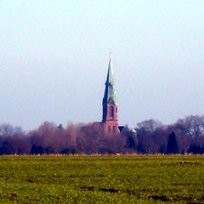
Saint Vitus Church (Visbek)
7.5 km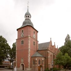
Propsteikirche St. Georg (Vechta)
9.4 km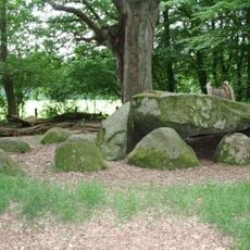
Großsteingrab Heidenopfertisch
9 km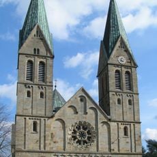
St. Laurentius
3.2 km
Klosterkirche
9.6 km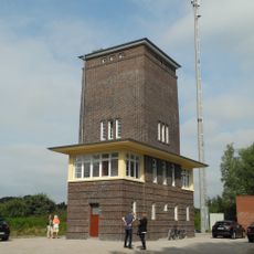
Stellwerk Ahlhorn
10.5 km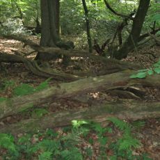
Herrenholz
10.6 km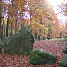
Visbeker Bräutigam
9.3 km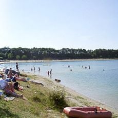
Cloppenburg Geest
4.9 km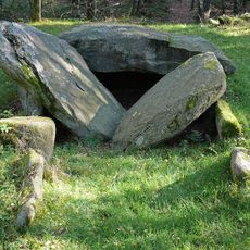
Ahlhorner Kellersteine
10 km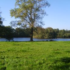
Trennmoor
6.5 km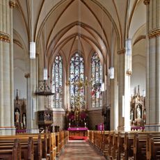
St. Peter und Paul
6.9 km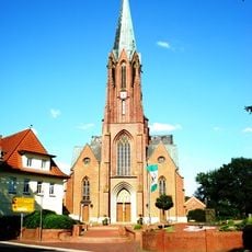
St. Margaretha
5.5 km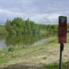
Bäken der Endeler und Holzhauser Heide
9.1 km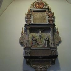
St. Johannes Baptist
6.7 km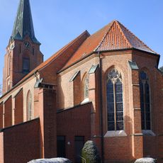
Saint James the Greater Church
9.7 km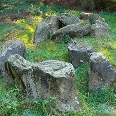
Steinloger Kellersteine
11 km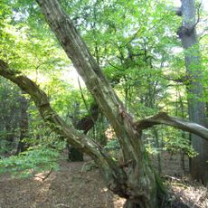
Baumweg
11.3 km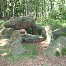
Großsteingrab Mühlensteine
11 km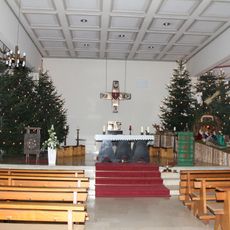
St. Aloysius
9.1 km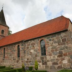
St. Marien in Oythe
9.4 km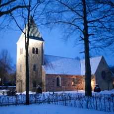
St. Marien
10.4 km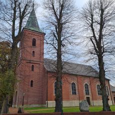
St. Vitus
6.7 km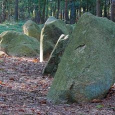
Großsteingrab Ahlhorn
8.7 km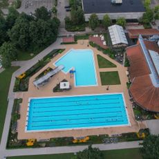
Hallenwellen- und Freibad Vechta
8.5 km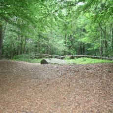
Visbeker Bräutigam
9.3 km
Gut Schwede
5.5 kmRecensioni
Ha visitato questo luogo? Tocchi le stelle per valutarlo e condividere la Sua esperienza o foto con la community! Provalo ora! Puoi annullarlo in qualsiasi momento.
Scopri tesori nascosti ad ogni viaggio!
Da piccoli caffè caratteristici a panorami nascosti, fuggi dalla folla e scova i posti che fanno davvero per te. La nostra app ti semplifica tutto: ricerca vocale, filtri furbi, percorsi ottimizzati e dritte autentiche da viaggiatori di tutto il mondo. Scaricala subito per vivere l'avventura sul tuo smartphone!

Un nuovo approccio alla scoperta turistica❞
— Le Figaro
Tutti i luoghi che meritano di essere esplorati❞
— France Info
Un’escursione su misura in pochi clic❞
— 20 Minutes