
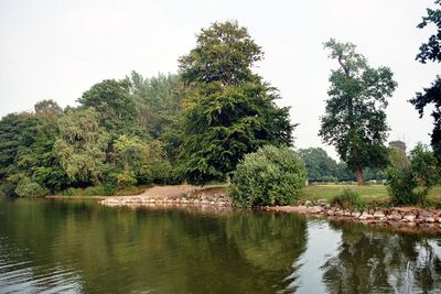
Selenter See, protected area in the European Union defined by the habitats directive in Schleswig-Holstein, Germany
Posizione: Plön District
Inizio: 1999
Coordinate GPS: 54.30247,10.44846
Ultimo aggiornamento: 25 marzo 2025 alle 02:11
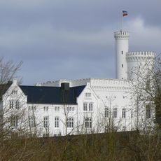
Blomenburg
2.2 km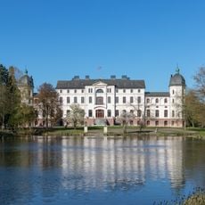
Salzau Manor
5.2 km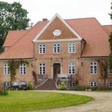
Gut Lammershagen
3.2 km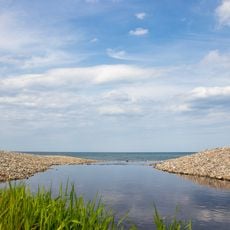
Hohenfelder Mühlenau
6.2 km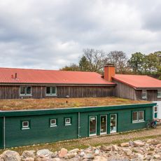
Eiszeitmuseum
7.4 km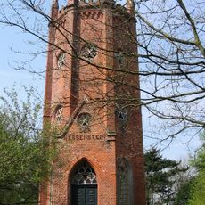
Hessenstein Observation Tower
6.9 km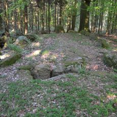
Großsteingrab Panker 1
6.5 km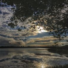
Nordteil des Selenter Sees und Umgebung
2.5 km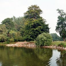
Endmoränengebiet mit Hessenstein zwischen Lütjenburg und Hohenfelde und Umgebung
7.4 km
Küsten- und Moränenlandschaft auf dem Gebiet der Gemeinden Hohwacht und Blekendorf bis an die Grenze zum Kreis Ostholstein
7.4 km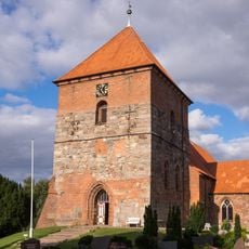
St. Servatiuskirche
1.9 km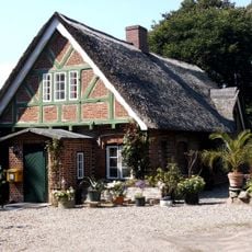
Ehem. Posthaus
2.9 km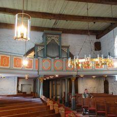
Kirche St. Johannes mit Ausstattung
4.2 km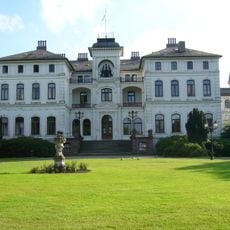
Herrenhaus Salzau
5.2 km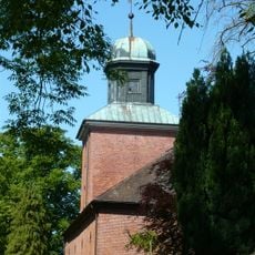
Johanneskirche
4.2 km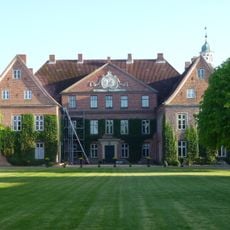
Gutsanlage: Herrenhaus mit Ausstattung
3.4 km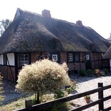
Fischerkate Am See 13 – 17
2.8 km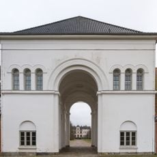
Torhaus
5.2 km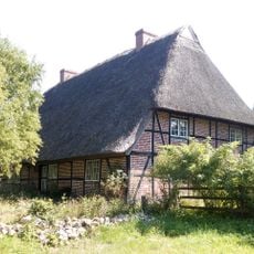
Bauernhaus Bauernreihe 2
2.7 km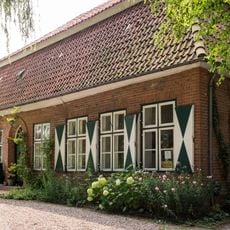
Dorfplatz 8
1.9 km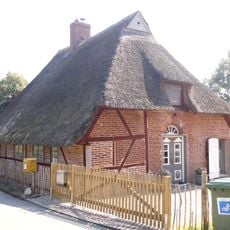
Kate Zum Brook 6
4 km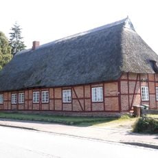
Ehemalige Wassermühle
2.7 km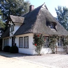
Forsthaus
2.8 km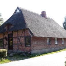
Doppelkate Am See 25
2.7 km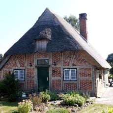
Fischerkate Am See 19
2.8 km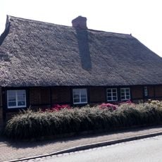
Fischerkate Am See 7 – 9
2.8 km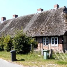
Mehrfamilienkate Zum Brook 11 - 13
4.1 km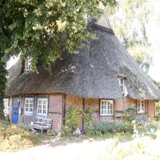
Kate Rodehorster Weg 1
2.8 kmRecensioni
Ha visitato questo luogo? Tocchi le stelle per valutarlo e condividere la Sua esperienza o foto con la community! Provalo ora! Puoi annullarlo in qualsiasi momento.
Scopri tesori nascosti ad ogni viaggio!
Da piccoli caffè caratteristici a panorami nascosti, fuggi dalla folla e scova i posti che fanno davvero per te. La nostra app ti semplifica tutto: ricerca vocale, filtri furbi, percorsi ottimizzati e dritte autentiche da viaggiatori di tutto il mondo. Scaricala subito per vivere l'avventura sul tuo smartphone!

Un nuovo approccio alla scoperta turistica❞
— Le Figaro
Tutti i luoghi che meritano di essere esplorati❞
— France Info
Un’escursione su misura in pochi clic❞
— 20 Minutes