
Buchenwälder bei Althütte, protected area in the European Union defined by the habitats directive in Bayern, Germany
Posizione: Cham
Inizio: 2000
Coordinate GPS: 49.33807,12.74107
Ultimo aggiornamento: 11 giugno 2025 alle 10:30
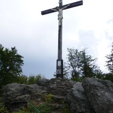
Gibacht
3.1 km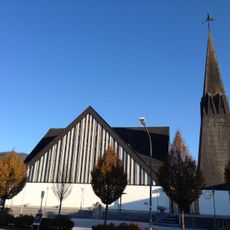
St. Bartholomäus (Geigant)
4.4 km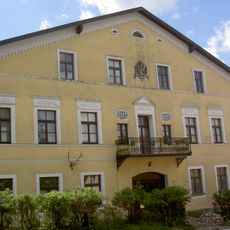
Neues Schloss
2.5 km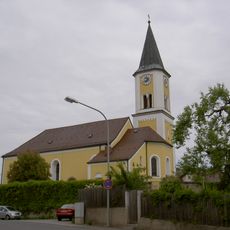
St. Bartholomäus
2.4 km
St. Anna und Sebastian
2.6 km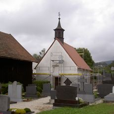
Friedhofskapelle
4.8 km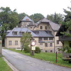
Neues Schloss (Voithenberg)
5 km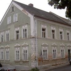
Wohnhaus
5 km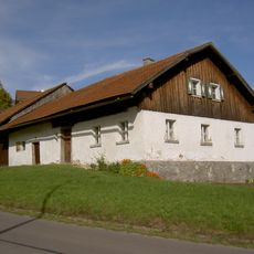
Waldlerhaus
4.9 km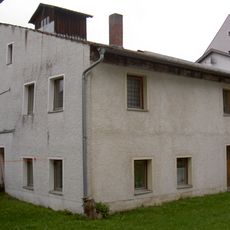
Schloßhof 10 Waldmünchen
5 km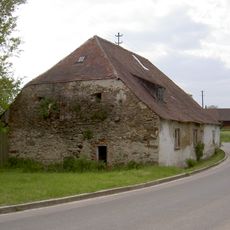
Waldmünchen Ulrichsgrün 7
3.5 km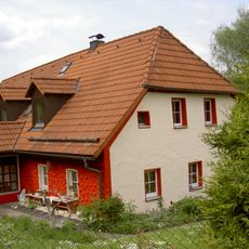
Bauernhaus
1.9 km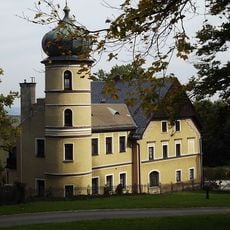
Altes Schloss
4.9 km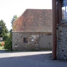
Ehemaliges Zeughaus
5 km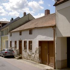
Wohnhaus
5 km
Pfarrstall Gleißenberg Hauptstraße 12
2.4 km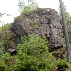
Geotop Einsiedlerfels bei Pucher
2.2 km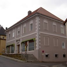
Wohnhaus
4.9 km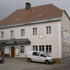
Gasthaus
5 km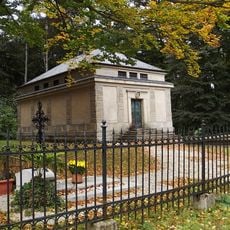
Mausoleum der Herren Voith von Voithenberg
4.9 km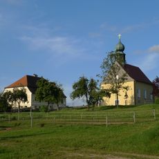
Ehemaliges Benefiziatenhaus, jetzt Polizeistation
2.6 km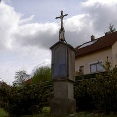
Bildstock
4.8 km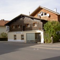
Waldlerhaus
4.4 km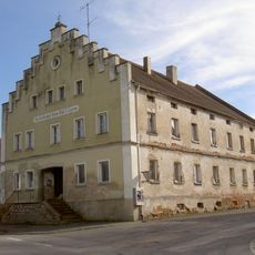
Ehemaliger Gasthof
4.4 km
Wohnhaus
4.9 km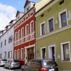
Wohnhaus
5 km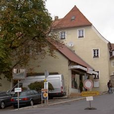
Wohnhaus am ehemaligen Hammertor
5 km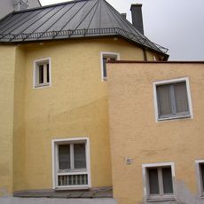
Wohnhaus am ehemaligen Hammertor
5 kmRecensioni
Ha visitato questo luogo? Tocchi le stelle per valutarlo e condividere la Sua esperienza o foto con la community! Provalo ora! Puoi annullarlo in qualsiasi momento.
Scopri tesori nascosti ad ogni viaggio!
Da piccoli caffè caratteristici a panorami nascosti, fuggi dalla folla e scova i posti che fanno davvero per te. La nostra app ti semplifica tutto: ricerca vocale, filtri furbi, percorsi ottimizzati e dritte autentiche da viaggiatori di tutto il mondo. Scaricala subito per vivere l'avventura sul tuo smartphone!

Un nuovo approccio alla scoperta turistica❞
— Le Figaro
Tutti i luoghi che meritano di essere esplorati❞
— France Info
Un’escursione su misura in pochi clic❞
— 20 Minutes