
Mausohrwochenstuben in der mittleren Frankenalb, protected area in the European Union defined by the habitats directive in Bayern, Germany
Posizione: Nürnberger Land
Posizione: Roth
Posizione: Weißenburg-Gunzenhausen
Inizio: 2000
Coordinate GPS: 49.26390,11.13669
Ultimo aggiornamento: 3 aprile 2025 alle 11:53
Wartstein
3.1 km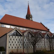
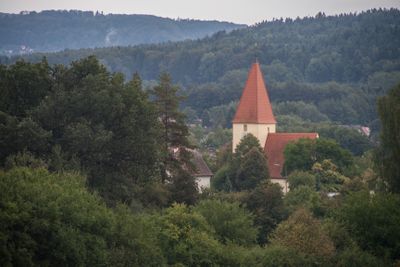
Mariä Aufnahme
3.8 km
Schutz des Landschaftsraumes im Gebiet des Landkreises Roth - Südliches Mittelfränkisches Becken östlich der Schwäbischen Rezat und der Rednitz mit Vorland der Mittleren Frankenalb (LSG Ost)
3.7 km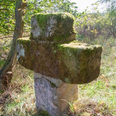
"Niedermann-Kreuz" bei Schwanstetten
3.2 km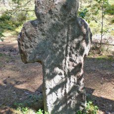
„Weißes Kreuz“ bein Eichelburg
2.9 km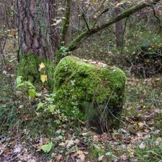
Kreuzsteinrest bei Pruppach
2.3 km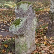
Steinkreuz Obere Glasschleife in Roth
2.8 km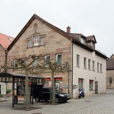
Hauptstraße 24
3.8 km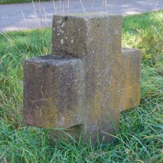
"Raming-Kreuz" bei Schwand
3.5 km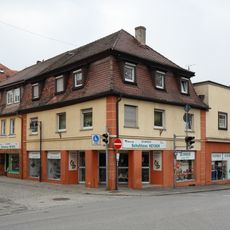
Hauptstraße 51
3.8 km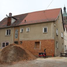
Zeughausgasse 6
3.8 km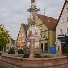
Markgrafenbrunnen
3.8 km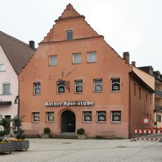
Hauptstraße 30
3.8 km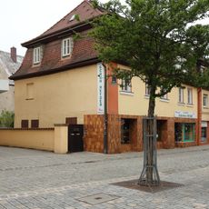
Hauptstraße 49
3.8 km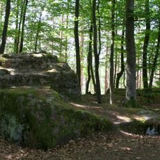
Burgruine Wartstein
3.1 km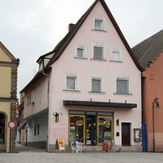
Hauptstraße 32
3.8 km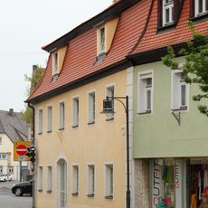
Hauptstraße 58 (Roth bei Nürnberg)
3.8 km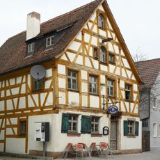
Kugelbühlstraße 23 (Roth bei Nürnberg)
3.8 km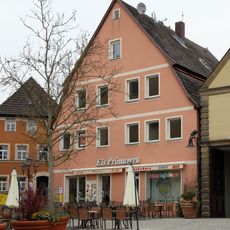
Hauptstraße 36
3.7 km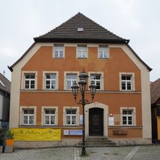
Hauptstraße 42
3.7 km
Steinkreuz östlich von Roth
1.9 km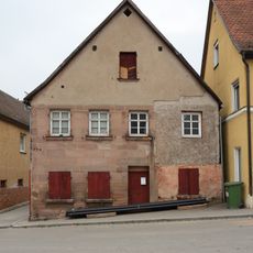
Traubengasse 11
3.7 km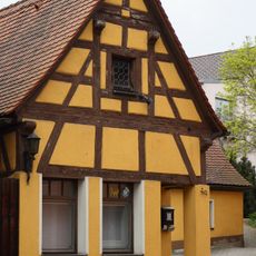
Hauptstraße 40
3.7 km
Hauptstraße 56
3.8 km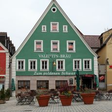
Hauptstraße 48
3.8 km
Hauptstraße 45 (Roth bei Nürnberg)
3.8 km
Residential and commercial building Kugelbühlstraße 34
3.8 km
Hauptstraße 26 (Roth bei Nürnberg)
3.8 kmRecensioni
Ha visitato questo luogo? Tocchi le stelle per valutarlo e condividere la Sua esperienza o foto con la community! Provalo ora! Puoi annullarlo in qualsiasi momento.
Scopri tesori nascosti ad ogni viaggio!
Da piccoli caffè caratteristici a panorami nascosti, fuggi dalla folla e scova i posti che fanno davvero per te. La nostra app ti semplifica tutto: ricerca vocale, filtri furbi, percorsi ottimizzati e dritte autentiche da viaggiatori di tutto il mondo. Scaricala subito per vivere l'avventura sul tuo smartphone!

Un nuovo approccio alla scoperta turistica❞
— Le Figaro
Tutti i luoghi che meritano di essere esplorati❞
— France Info
Un’escursione su misura in pochi clic❞
— 20 Minutes