
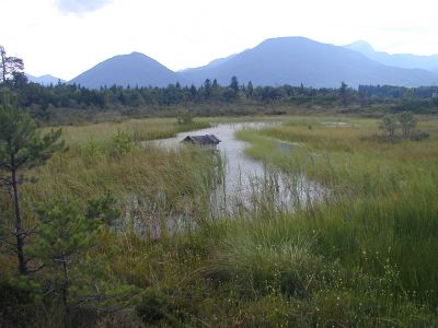
Moore um Raubling, protected area in the European Union defined by the habitats directive in Bayern, Germany
Posizione: Rosenheim
Inizio: 2004
Coordinate GPS: 47.78379,12.05980
Ultimo aggiornamento: 5 marzo 2025 alle 08:05
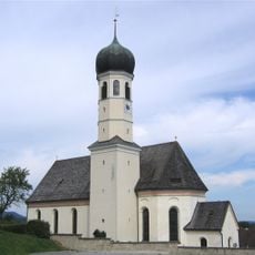
St. Michael (Litzldorf)
2.6 km
Cultural heritage D-1-8238-0250 in Bad Feilnbach
3.2 km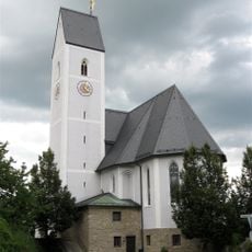
St. Ursula
3.7 km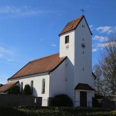
St. Theresia von Lisieux (Nicklheim)
1.6 km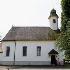
St. Johannes Baptist
1.8 km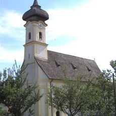
St. Laurentius
2.5 km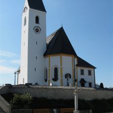
Pfarrkirche St. Georg (Großholzhausen)
2.5 km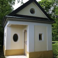
Pestkapelle
3 km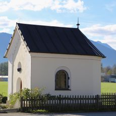
Kapelle an der Nicklheimer Straße
3.4 km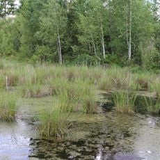
LSG Hochrunstfilze
1.9 km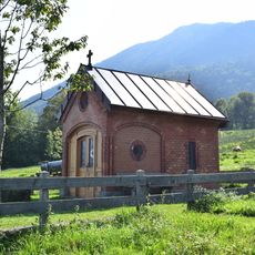
Lourdeskapelle
2.6 km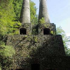
Historisches Zementwerk Litzldorf
3.2 km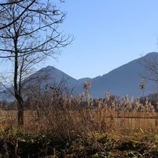
Auer Weidmoos mit Kalten und Kaltenaue
3.4 km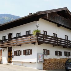
Bauernhaus
2.6 km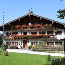
Bauernhaus
2.7 km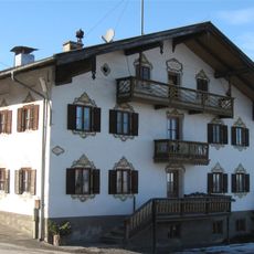
Wohnteil des Bauernhauses zum Walch
3.3 km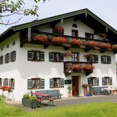
Kirchdorfer Straße 21
2.4 km
Pestkreuz
2.9 km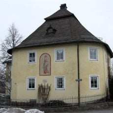
Kufsteiner Straße 83
3.7 km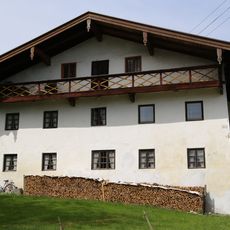
Bauernhaus
1.7 km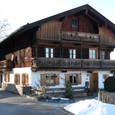
Ehemaliges Bauernhaus
3.5 km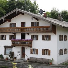
Tegernseer Straße 1
2.5 km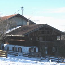
Wohnteil des Bauernhauses, sogenanntes Schneidergütl, um 1900 Atelier von Johann Sperl
3.2 km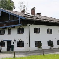
Ehemals Kleinbauernhaus
2.6 km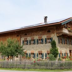
Schullerstraße 16
2.5 km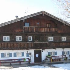
Wilhelm-Leibl-Straße 22
3.3 km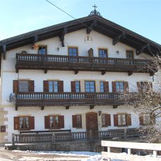
Bauernhaus, Einfirsthof, sogenanntes Bauernhaus Zum Hansen
3.3 km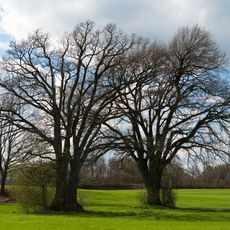
Eichenpaar Kirchdorf am Inn
3.7 kmRecensioni
Ha visitato questo luogo? Tocchi le stelle per valutarlo e condividere la Sua esperienza o foto con la community! Provalo ora! Puoi annullarlo in qualsiasi momento.
Scopri tesori nascosti ad ogni viaggio!
Da piccoli caffè caratteristici a panorami nascosti, fuggi dalla folla e scova i posti che fanno davvero per te. La nostra app ti semplifica tutto: ricerca vocale, filtri furbi, percorsi ottimizzati e dritte autentiche da viaggiatori di tutto il mondo. Scaricala subito per vivere l'avventura sul tuo smartphone!

Un nuovo approccio alla scoperta turistica❞
— Le Figaro
Tutti i luoghi che meritano di essere esplorati❞
— France Info
Un’escursione su misura in pochi clic❞
— 20 Minutes