
Moore und Wälder der Endmoräne bei Starnberg, protected area in the European Union defined by the habitats directive in Bayern, Germany
Posizione: Starnberg
Inizio: 2004
Coordinate GPS: 48.02557,11.37376
Ultimo aggiornamento: 3 marzo 2025 alle 12:03

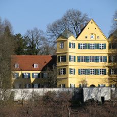
Schloss Leutstetten
498 m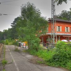
Mühlthal (Oberbay) station
1.6 km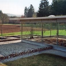
Villa rustica of Leutstetten
815 m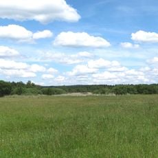
Leutstettener Moos
1.3 km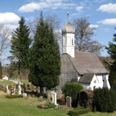
St. Peter und Paul
1.9 km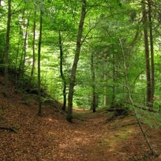
Burgstall Schlossberg
2 km
Kirche St. Ulrich
2.7 km
St. Alto
642 m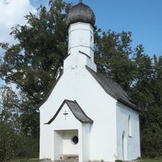
St. Ulrich
2.2 km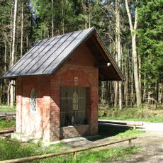
Herrgottsruhkapelle
2.6 km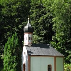
Kapelle Petersbrunn
1 km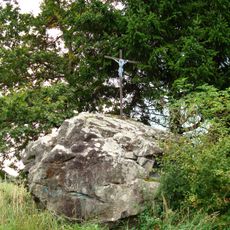
Erratischer Block Hoher Stein E von Percha
2.8 km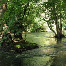
Würmtal
1.4 km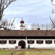
Gestüt Isarland
2.2 km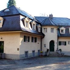
Wernbergschlösschen (Starnberg)
2.7 km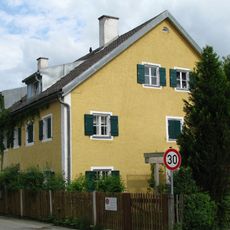
Leutstetten Altostraße 18
500 m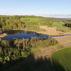
Endmoränen des Würmsee-Zungenbeckens SW von Leutstetten
800 m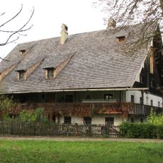
Hammertshauserhof
2.3 km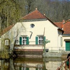
Pumpwerk In Mühlthal in Starnberg
1.5 km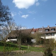
Gutshaus
1.8 km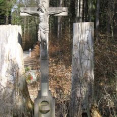
Gedenkkreuz
1.5 km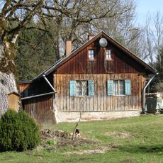
Mooshäusl
1.5 km
Schloss Nähe Wangener Straße in Starnberg
458 m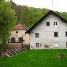
Mühle
1.5 km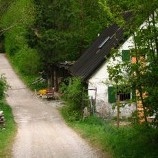
Ehemaliges Schusterhäusl
1.3 km
Streckenwärterhaus
1.7 km
Samerhof
407 m
Kleinbauernhaus
602 mRecensioni
Ha visitato questo luogo? Tocchi le stelle per valutarlo e condividere la Sua esperienza o foto con la community! Provalo ora! Puoi annullarlo in qualsiasi momento.
Scopri tesori nascosti ad ogni viaggio!
Da piccoli caffè caratteristici a panorami nascosti, fuggi dalla folla e scova i posti che fanno davvero per te. La nostra app ti semplifica tutto: ricerca vocale, filtri furbi, percorsi ottimizzati e dritte autentiche da viaggiatori di tutto il mondo. Scaricala subito per vivere l'avventura sul tuo smartphone!

Un nuovo approccio alla scoperta turistica❞
— Le Figaro
Tutti i luoghi che meritano di essere esplorati❞
— France Info
Un’escursione su misura in pochi clic❞
— 20 Minutes