
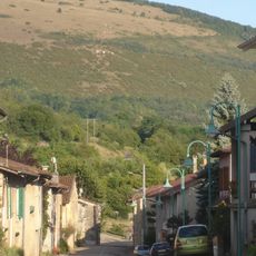
Germagnat, comune francese
Posizione: Ain
Posizione: arrondissement of Bourg-en-Bresse
Settore: administration publique générale
Confina con: Chavannes-sur-Suran, Corveissiat, Pouillat, Aromas, Montfleur
Coordinate GPS: 46.31083,5.44861
Ultimo aggiornamento: 12 marzo 2025 alle 12:57

Mont Myon
4.3 km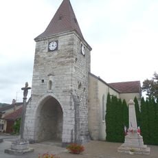
Croix d'Aromas
3.2 km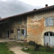
Moulin de Pont des Vents
2.3 km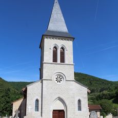
Église Saint-Laurent de Pressiat
5.1 km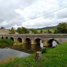
Pont des Vents
2.2 km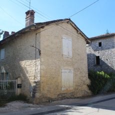
Maison du XVIe siècle
5.3 km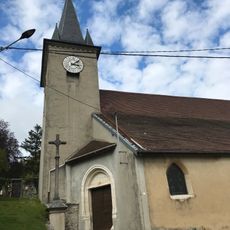
Église Sainte-Catherine de Montfleur
2.4 km
Montfleur
2.2 km
Coopérative fromagère des Erythrônes
4.1 km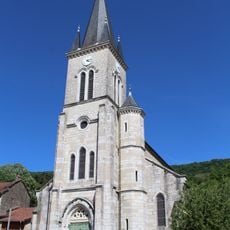
Église Saint-Clément de Cuisiat
4.7 km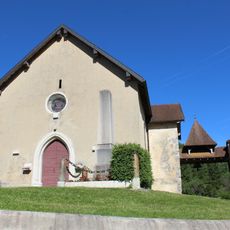
Église Saint-Germain de Germagnat
184 m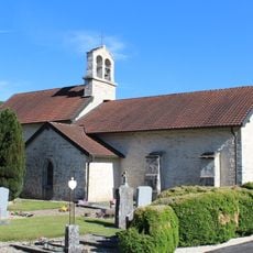
Église Sainte-Madeleine de Pouillat
2.4 km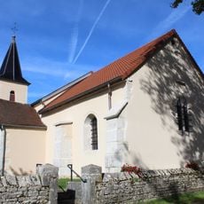
Église Saints-Pierre-et-Paul de Charnod
3.9 km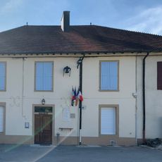
Town hall of Pouillat
2.4 km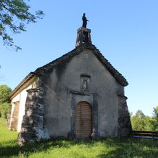
Chapelle Saint-Jean-Baptiste de Pouillat
2.5 km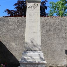
War memorial of Chavannes-sur-Suran
5.4 km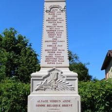
War memorial of Cuisiat
4.7 km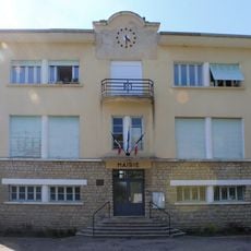
Mairie de Pressiat
5.1 km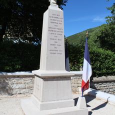
War memorial of Pressiat
5.1 km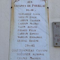
War memorial of Pouillat
2.4 km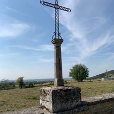
Cemetery cross of Pressiat
5.1 km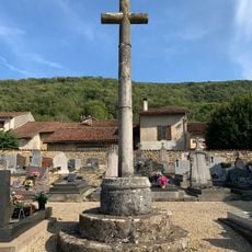
Cemetery cross of Cuisiat
5.1 km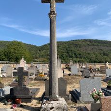
Cemetery cross of Chavannes-sur-Suran
5.4 km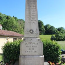
War memorial of Germagnat
171 m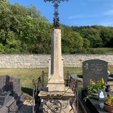
Cemetery cross of Germagnat
234 m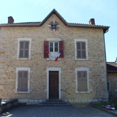
Town hall of Cuisiat
4.7 km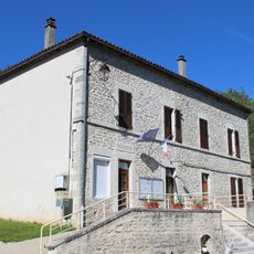
Town hall of Germagnat
211 m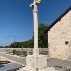
Cemetery cross of Pouillat
2 kmRecensioni
Ha visitato questo luogo? Tocchi le stelle per valutarlo e condividere la Sua esperienza o foto con la community! Provalo ora! Puoi annullarlo in qualsiasi momento.
Scopri tesori nascosti ad ogni viaggio!
Da piccoli caffè caratteristici a panorami nascosti, fuggi dalla folla e scova i posti che fanno davvero per te. La nostra app ti semplifica tutto: ricerca vocale, filtri furbi, percorsi ottimizzati e dritte autentiche da viaggiatori di tutto il mondo. Scaricala subito per vivere l'avventura sul tuo smartphone!

Un nuovo approccio alla scoperta turistica❞
— Le Figaro
Tutti i luoghi che meritano di essere esplorati❞
— France Info
Un’escursione su misura in pochi clic❞
— 20 Minutes