
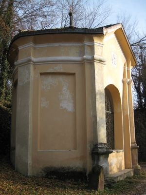
7th chapel on the Paul-Troger-Weg in Kaltern
7th chapel on the Paul-Troger-Weg in Kaltern, Kirchengebäude
Posizione: Kaltern an der Weinstraße
Coordinate GPS: 46.42000,11.25356
Ultimo aggiornamento: 30 marzo 2025 alle 23:17
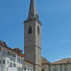
Chiesa di Santa Maria Assunta
900 m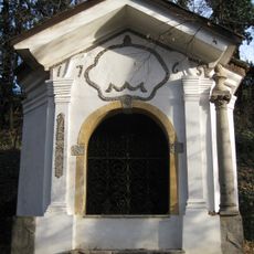
6th chapel on the Paul-Troger-Weg in Kaltern
68 m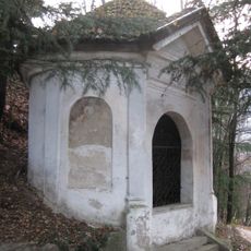
3rd chapel on the Paul-Troger-Weg in Kaltern
249 m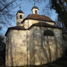
Holy Cross Church and chapels in Kaltern
84 m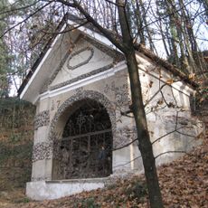
2nd chapel on the Paul-Troger-Weg in Kaltern
330 m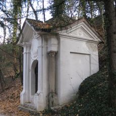
5th chapel on the Paul-Troger-Weg in Kaltern
130 m
Reich am Platz
819 m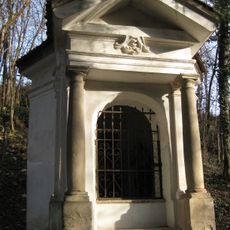
4th chapel on the Paul-Troger-Weg in Kaltern
176 m
Chiesa della Santa Croce
84 m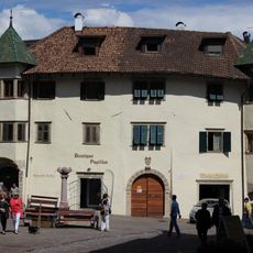
Maria-von-Buol-Platz 2
794 m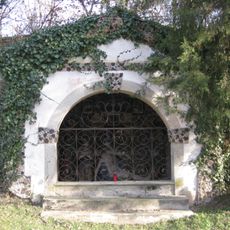
8th chapel on the Paul-Troger-Weg in Kaltern
21 m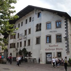
Gasthof Golderner Stern
885 m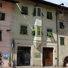
Andreas-Hofer-Straße 18
855 m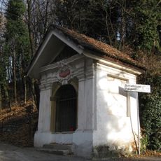
1st chapel on the Paul-Troger-Weg in Kaltern
386 m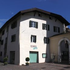
Spital
898 m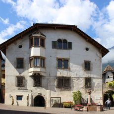
Maria-von-Buol-Platz 4
823 m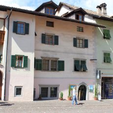
Andreas-Hofer-Straße 20
862 m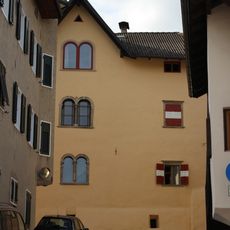
Gungano 5
738 m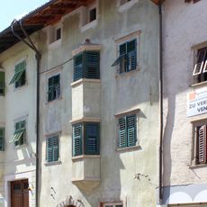
Andreas-Hofer-Straße 16
848 m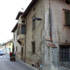
Buol
710 m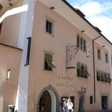
Gasthaus Turm
908 m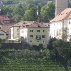
Pfarrwidum Kaltern
915 m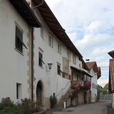
Pflegangerweg 5-8
768 m
Tafonatti
775 m
Torgglkeller
825 m
Weißenfels
722 m
Andreas-Hofer-Straße 13
869 m
Tonvin
826 mRecensioni
Ha visitato questo luogo? Tocchi le stelle per valutarlo e condividere la Sua esperienza o foto con la community! Provalo ora! Puoi annullarlo in qualsiasi momento.
Scopri tesori nascosti ad ogni viaggio!
Da piccoli caffè caratteristici a panorami nascosti, fuggi dalla folla e scova i posti che fanno davvero per te. La nostra app ti semplifica tutto: ricerca vocale, filtri furbi, percorsi ottimizzati e dritte autentiche da viaggiatori di tutto il mondo. Scaricala subito per vivere l'avventura sul tuo smartphone!

Un nuovo approccio alla scoperta turistica❞
— Le Figaro
Tutti i luoghi che meritano di essere esplorati❞
— France Info
Un’escursione su misura in pochi clic❞
— 20 Minutes