
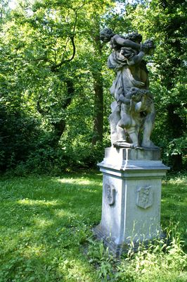
Gunterstein: tuinbeeld, Rijksmonument op Zandpad bij 48
Posizione: Stichtse Vecht
Parte di: Gunterstein
Indirizzo: Zandpad bij 48
Coordinate GPS: 52.17089,5.00920
Ultimo aggiornamento: 24 aprile 2025 alle 08:49
Gunterstein
275 m
Boom en Bosch
230 m
Vreedenoord
300 m
Boom en Bosch: hoofdgebouw
231 m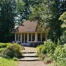
Gunterstein: tuinhuisje
168 m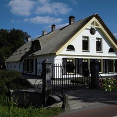
Boerderij Boomrijk
238 m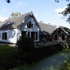
Gunterstein
249 m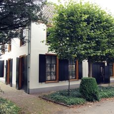
Boom en Bosch bouwhuis
229 m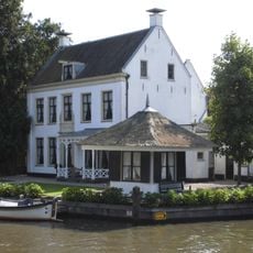
Vecht en Dan
295 m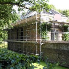
Gunterstein: Noordelijk bouwhuis
256 m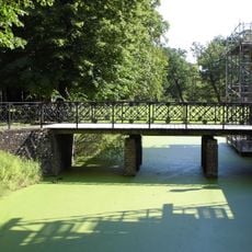
Gunterstein: toegangsbrug
242 m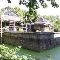
Gunterstein: keermuur
249 m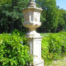
Tuinsieraden
303 m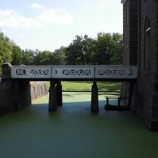
Gunterstein: 'Krakelingen'brug
268 m
Gunterstein: landhuis
278 m
Gunterstein: dubbel toegangshek
249 m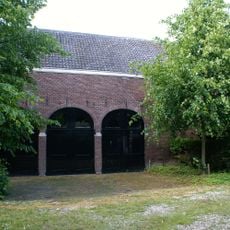
Gunterstein: koetshuis
276 m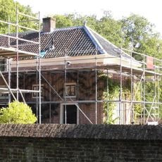
Gunterstein: zuidelijk bouwhuis
242 m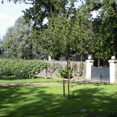
Gunterstein: toegangshek m
267 m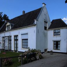
Klein Boomrijk
133 m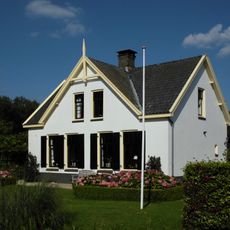
Gunterstein: woning 'Klein boomrijk'
216 m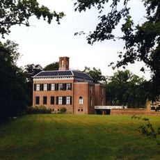
Gunterstein: historische tuin- en parkaanleg
278 m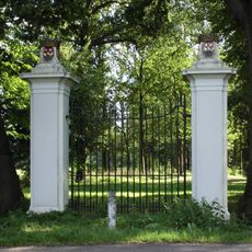
Gunterstein: voormalig hoofdtoegangshek
229 m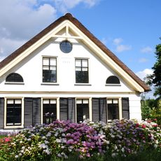
Boomrijk
238 m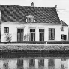
Lage witgepleisterde hofstede met uitbouw, zadeldak in topgevels eindigend
133 m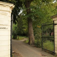
Boom en Bosch: entreehek met schamppalen
303 m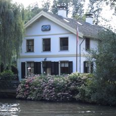
Klein Boom en Bosch
170 m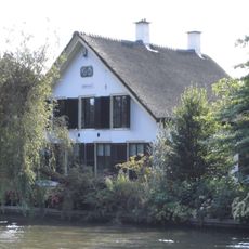
Straatweg 78, Breukelen
163 mRecensioni
Ha visitato questo luogo? Tocchi le stelle per valutarlo e condividere la Sua esperienza o foto con la community! Provalo ora! Puoi annullarlo in qualsiasi momento.
Scopri tesori nascosti ad ogni viaggio!
Da piccoli caffè caratteristici a panorami nascosti, fuggi dalla folla e scova i posti che fanno davvero per te. La nostra app ti semplifica tutto: ricerca vocale, filtri furbi, percorsi ottimizzati e dritte autentiche da viaggiatori di tutto il mondo. Scaricala subito per vivere l'avventura sul tuo smartphone!

Un nuovo approccio alla scoperta turistica❞
— Le Figaro
Tutti i luoghi che meritano di essere esplorati❞
— France Info
Un’escursione su misura in pochi clic❞
— 20 Minutes