
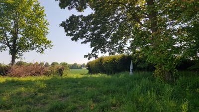
Belgium-Netherlands boundary stone no. 25
Posizione: Voeren
Posizione: Eijsden-Margraten
Parte di: Belgium–Netherlands border
Coordinate GPS: 50.77761,5.77877
Ultimo aggiornamento: 13 giugno 2025 alle 13:13
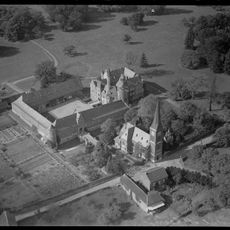
Castle of Mheer
899 m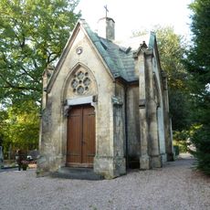
Grafkapel RK Begraafplaats (Mheer)
974 m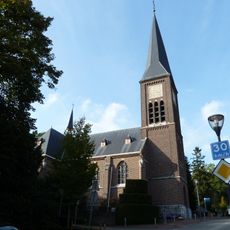
Sint-Lambertuskerk
963 m
Horstergrub
412 m
Huuskesboom
890 m
Belgium-Netherlands boundary stone no. 26a
726 m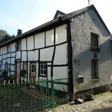
Steegstraat 19, Mheer
816 m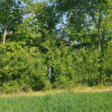
Belgium-Netherlands boundary stone no. 26
603 m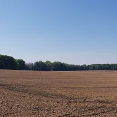
Belgium-Netherlands boundary stone no. 25a
209 m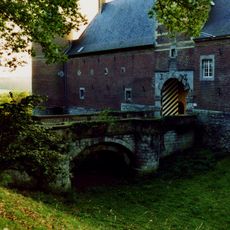
Castle of Mheer: two access bridges
892 m
Belgium-Netherlands boundary stone no. 25b
537 m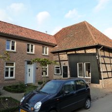
Rondelenstraat 8, Mheer
960 m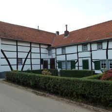
Rondelenstraat 14, Mheer
895 m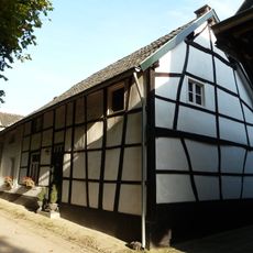
Steegstraat 21, Mheer
805 m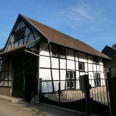
Steegstraat 23, Mheer
822 m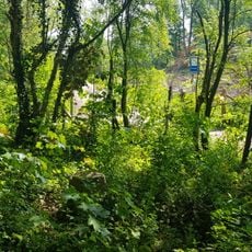
Belgium-Netherlands boundary stone no. 24a
385 m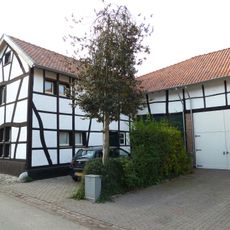
Rondelenstraat 10, Mheer
943 m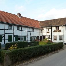
Rondelenstraat 12, Mheer
916 m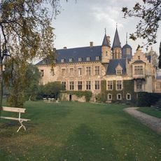
Castle of Mheer: garden and park
598 m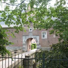
Castle of Mheer: two iron fences
351 m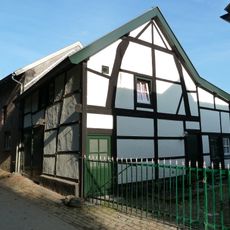
Steegstraat 17, Mheer
824 m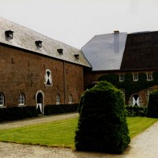
Castle of Mheer: farm building and forecourt
892 m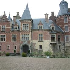
Castle of Mheer: main building
873 m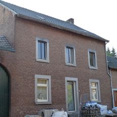
Dorpsstraat 24, Mheer
939 m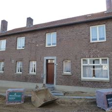
Dorpsstraat 22, Mheer
930 m
Dorpsstraat 16, Mheer
906 m
Former chaplaincies Mheer
924 m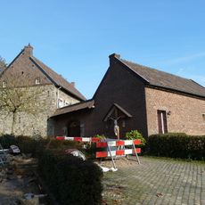
Presbytery Mheer
969 mRecensioni
Ha visitato questo luogo? Tocchi le stelle per valutarlo e condividere la Sua esperienza o foto con la community! Provalo ora! Puoi annullarlo in qualsiasi momento.
Scopri tesori nascosti ad ogni viaggio!
Da piccoli caffè caratteristici a panorami nascosti, fuggi dalla folla e scova i posti che fanno davvero per te. La nostra app ti semplifica tutto: ricerca vocale, filtri furbi, percorsi ottimizzati e dritte autentiche da viaggiatori di tutto il mondo. Scaricala subito per vivere l'avventura sul tuo smartphone!

Un nuovo approccio alla scoperta turistica❞
— Le Figaro
Tutti i luoghi che meritano di essere esplorati❞
— France Info
Un’escursione su misura in pochi clic❞
— 20 Minutes