
Rudby, village and civil parish in North Yorkshire, United Kingdom
Posizione: North Yorkshire
Coordinate GPS: 54.45661,-1.27487
Ultimo aggiornamento: 3 marzo 2025 alle 04:10
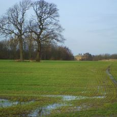
Rudby Hall
1.3 km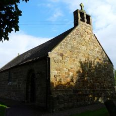
Church of St Peter
4.3 km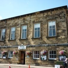
Town Hall
5.5 km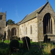
Church of All Saints
388 m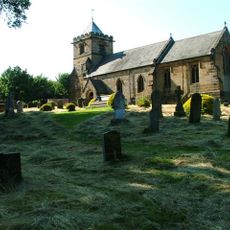
Church of All Saints
2.8 km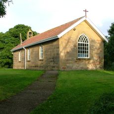
Church of St Cuthbert
3 km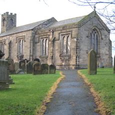
Church of St Martin
4.2 km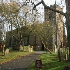
Church of St Peter and St Paul
5.7 km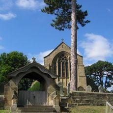
Church of St Botolph
4.4 km
Church of St Martin
4.8 km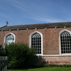
Church of St Mary
2.9 km
Outbuilding To North West Of Church Of All Saints
2.9 km
The Old School (South Of Crathorne Reading Room)
2.9 km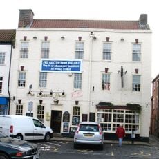
The Queen's Head Public House
5.5 km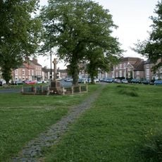
Stokesley War Memorial
5.3 km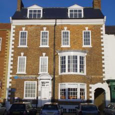
Barclays Bank
5.5 km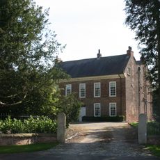
The Rectory
2.8 km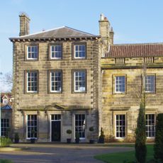
Manor House and Wall Adjoining
5.7 km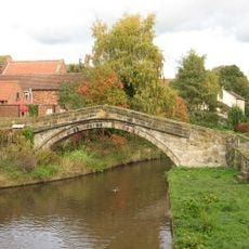
Levenside packhorse bridge
5.5 km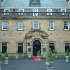
Crathorne Hall
2.9 km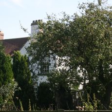
Town End Farmhouse
3 km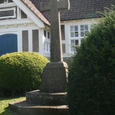
Crathorne War Memorial
2.9 km
Stokesley Library
5.6 km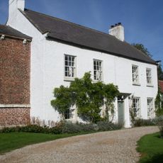
Chapel House And Outbuildings To North
2.9 km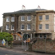
Oaklands
5.2 km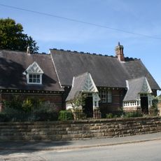
Village School
3.1 km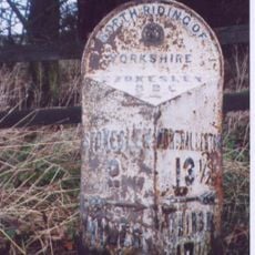
Milestone, 200m S of entrance to Busby House Farm
3.9 km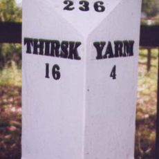
Milestone, S end of village, N of minor X rds
3 kmRecensioni
Ha visitato questo luogo? Tocchi le stelle per valutarlo e condividere la Sua esperienza o foto con la community! Provalo ora! Puoi annullarlo in qualsiasi momento.
Scopri tesori nascosti ad ogni viaggio!
Da piccoli caffè caratteristici a panorami nascosti, fuggi dalla folla e scova i posti che fanno davvero per te. La nostra app ti semplifica tutto: ricerca vocale, filtri furbi, percorsi ottimizzati e dritte autentiche da viaggiatori di tutto il mondo. Scaricala subito per vivere l'avventura sul tuo smartphone!

Un nuovo approccio alla scoperta turistica❞
— Le Figaro
Tutti i luoghi che meritano di essere esplorati❞
— France Info
Un’escursione su misura in pochi clic❞
— 20 Minutes