
Keyworth, village in Nottinghamshire
Posizione: Rushcliffe
Coordinate GPS: 52.87270,-1.08809
Ultimo aggiornamento: 6 marzo 2025 alle 13:09
Bunny Hall
3.3 km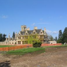
Widmerpool Hall
2.9 km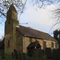
All Saints' Church, Stanton on the Wolds
1.8 km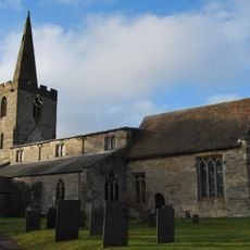
Holy Trinity Church
4 km
St Peter and St Paul's Church, Widmerpool
3.1 km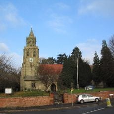
Church of St Mary Magdalene, Keyworth
169 m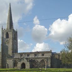
St Mary's Church, Bunny
3.5 km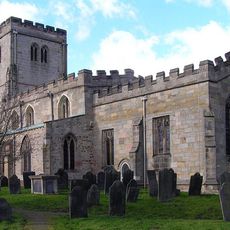
Church of St. Mary the Virgin, Plumtree
2.1 km
St. Peter's Church, Flawford
3.1 km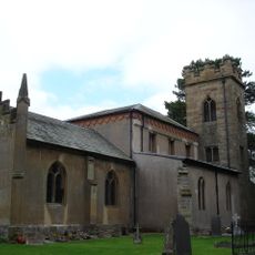
St Peter's Church
3.8 km
NHR - Nottingham Heritage Railway - (Ruddington, Station)
4.1 km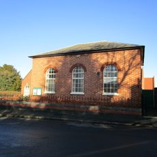
Wesleyan Methodist Chapel
3 km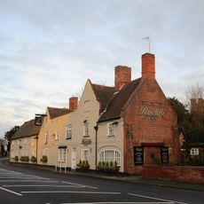
The Rancliffe Arms
3.4 km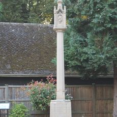
Tollerton War Memorial
3.9 km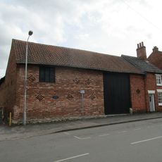
Barn Adjoining Number 15 And Attached Range Of Outbuildings
257 m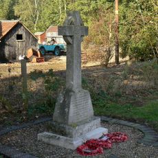
Stanton-on-the-Wolds War Memorial
1.8 km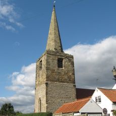
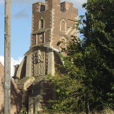
Tower And Spire Of Former Church
3.1 km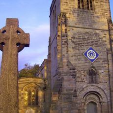
Plumtree War Memorial, Nottinghamshire
2.1 km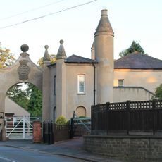
The Lodge And Attached Gateway And Wall
4.2 km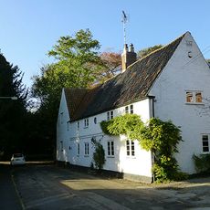
White House And Adjoining Barn
3.5 km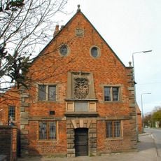
Old School Incorporating Schoolhouse And Almshouses
3.4 km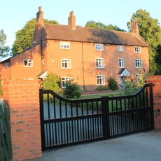
198, Tollerton Lane
4.1 km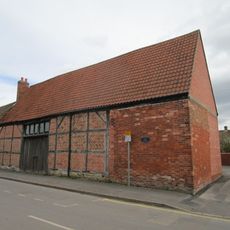
Barn At Number 31
317 m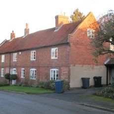
Southwell House
3.1 km
Number 5 And The Post Office
3.5 km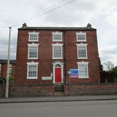
19, Main Street
283 m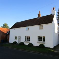
1, Main Street
3.1 km
27, Farmer Street
3 kmRecensioni
Ha visitato questo luogo? Tocchi le stelle per valutarlo e condividere la Sua esperienza o foto con la community! Provalo ora! Puoi annullarlo in qualsiasi momento.
Scopri tesori nascosti ad ogni viaggio!
Da piccoli caffè caratteristici a panorami nascosti, fuggi dalla folla e scova i posti che fanno davvero per te. La nostra app ti semplifica tutto: ricerca vocale, filtri furbi, percorsi ottimizzati e dritte autentiche da viaggiatori di tutto il mondo. Scaricala subito per vivere l'avventura sul tuo smartphone!

Un nuovo approccio alla scoperta turistica❞
— Le Figaro
Tutti i luoghi che meritano di essere esplorati❞
— France Info
Un’escursione su misura in pochi clic❞
— 20 Minutes