
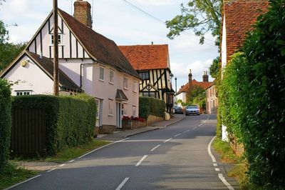
Stebbing, insediamento umano in Inghilterra
Posizione: Uttlesford
Coordinate GPS: 51.89560,0.40950
Ultimo aggiornamento: 6 marzo 2025 alle 05:57
Little Dunmow Priory
3.4 km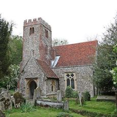
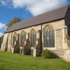
Church of St Mary the Virgin
2.9 km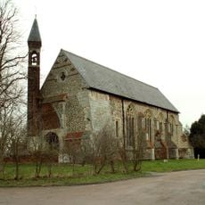
Church of St Mary the Virgin
3.4 km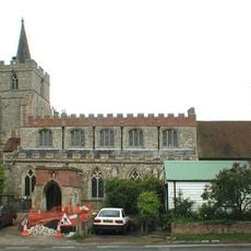
Church of St Mary the Virgin
807 m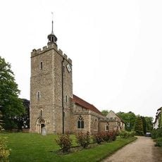
Church of the Holy Cross, Felsted
4.6 km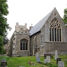
Parish Church of St Mary the Virgin
3.4 km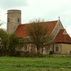
Church of St Peter and St Paul
3.3 km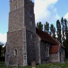
Church of St James
4.3 km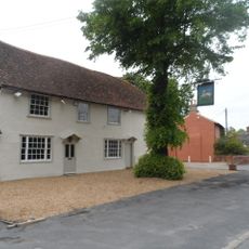
The White Hart Inn
4.3 km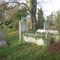
3 Tombs To Bull Family, Approximately 60 To 66 Metres North West Of North West Corner Of Church Of St Mary The Virgin
3.4 km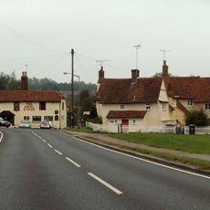
Angel And Harp Public House
3.5 km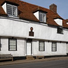
Old School Room And Lych Gate And Building To West
4.6 km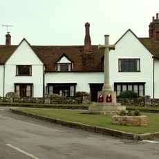
Stebbing War Memorial
815 m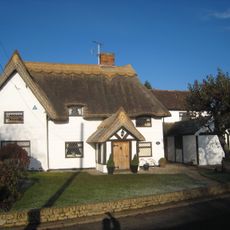
Kings Barn House
3.3 km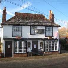
Flitch Of Bacon Public House
3.2 km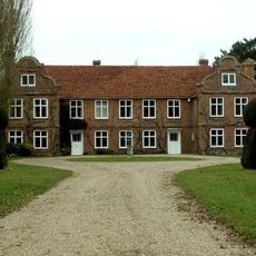
Saling Hall
4.3 km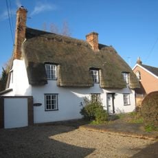
Gremlin Cottage
3.1 km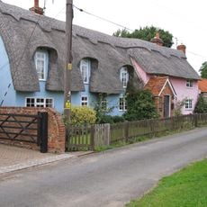
Thatched Cottage Between Brick House And Railway Bridge
3.8 km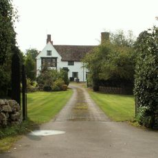
Porters Hall
2.1 km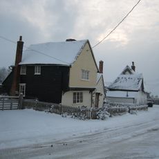
Rose Farm
3.3 km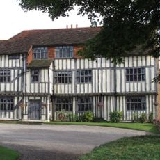
Parsonage Farmhouse
832 m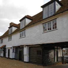
Old School Masters House Adjacent Old School To The East
4.6 km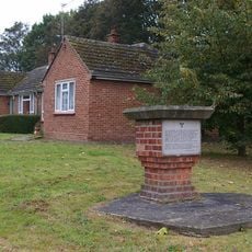
819th Engineer Battalion (US Army) Memorial, Great Saling
4.3 km
Monks Hall
3.3 km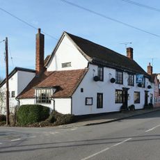
White Hart
422 m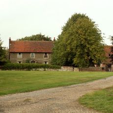
Lucas Farmhouse
1 km
House Ajoining And Now Integral With Boote House
4.7 km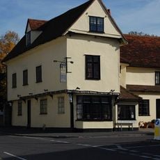
Boote House
4.6 kmRecensioni
Ha visitato questo luogo? Tocchi le stelle per valutarlo e condividere la Sua esperienza o foto con la community! Provalo ora! Puoi annullarlo in qualsiasi momento.
Scopri tesori nascosti ad ogni viaggio!
Da piccoli caffè caratteristici a panorami nascosti, fuggi dalla folla e scova i posti che fanno davvero per te. La nostra app ti semplifica tutto: ricerca vocale, filtri furbi, percorsi ottimizzati e dritte autentiche da viaggiatori di tutto il mondo. Scaricala subito per vivere l'avventura sul tuo smartphone!

Un nuovo approccio alla scoperta turistica❞
— Le Figaro
Tutti i luoghi che meritano di essere esplorati❞
— France Info
Un’escursione su misura in pochi clic❞
— 20 Minutes