Treforest, village in the southeast area of Pontypridd, in the county borough of Rhondda Cynon Taf, Wales
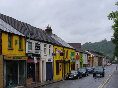
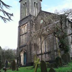
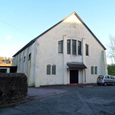
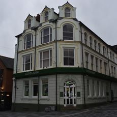
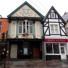
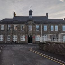
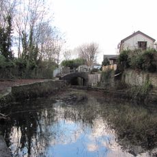
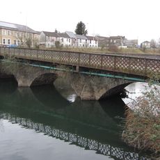
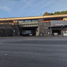
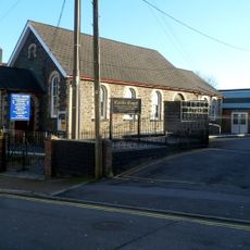
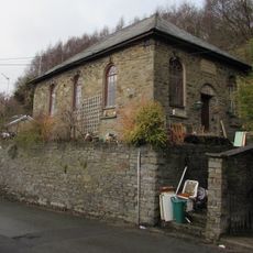
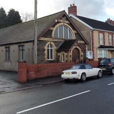
Treforest è un villaggio nel Rhondda Cynon Taf, Galles, situato in una valle circondata da colline verdi. Case in pietra costeggiano la strada principale e si diffondono sui pendii, con vicoli stretti che collegano diverse parti dell'insediamento.
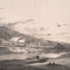
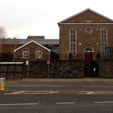
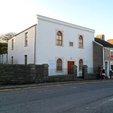
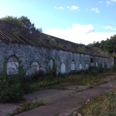
Il villaggio si è formato nel 19esimo secolo quando la regione si industrializzava e i lavoratori si insediavano in quest'area in crescita. Anche se l'industria ha subito un declino, quel periodo continua a plasmare come il luogo appare oggi.
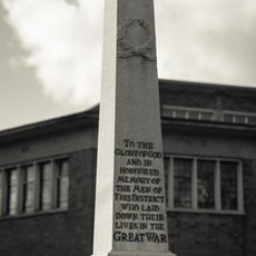
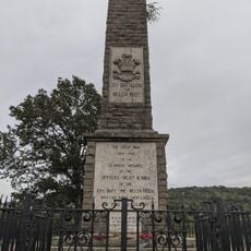
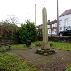
Il nome Treforest riflette l'eredità gallese e l'identità di una comunità mineraria. La disposizione e gli edifici mostrano ancora come i lavoratori organizzavano la loro vita quotidiana.
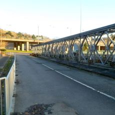
Il villaggio ha un layout semplice e facile da esplorare, con buoni collegamenti stradali ai paesi vicini. Con il tempo umido, sentieri e marciapiedi possono essere scivolosi, quindi visitare con tempo asciutto è più comodo.
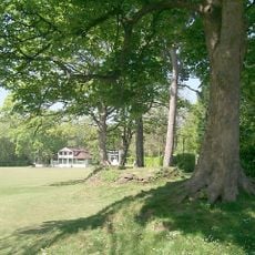
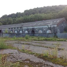
Il nome del villaggio viene dalla parola gallese per foresta, eppure oggi rimangono pochi alberi intorno alle case. Questo contrasto rivela quanto il paesaggio sia cambiato una volta che la gente si è insediata e ha costruito la comunità.
La comunità dei viaggiatori curiosi
AroundUs riunisce migliaia di luoghi selezionati, consigli locali e gemme nascoste, arricchiti ogni giorno da oltre 60,000 contributori in tutto il mondo.