
Hemley, village and civil parish in Suffolk, United Kingdom
Posizione: East Suffolk
Coordinate GPS: 52.03230,1.33000
Ultimo aggiornamento: 11 aprile 2025 alle 09:26
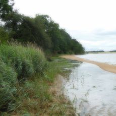
Ramsholt Cliff
1.3 km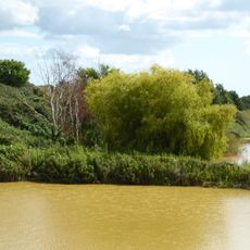
Waldringfield Pit
3.5 km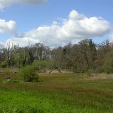
Newbourne Springs
2 km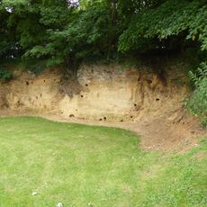
Rockhall Wood Pit, Sutton
2.5 km
Crag Pit, Sutton
4.6 km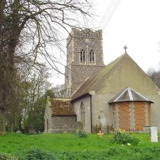
Church of St Ethelbert
3.4 km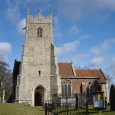
Church of St Mary
1.4 km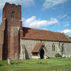
Church of All Saints
44 m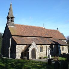
Church of St Mary
4.1 km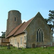
Church of All Saints
2.2 km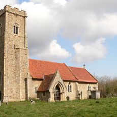
Church of St Margaret
4.3 km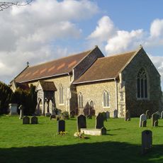
Church of All Saints
4.6 km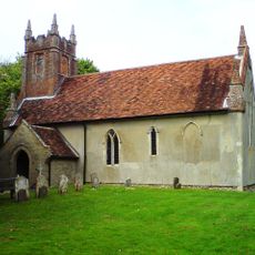
Church of St John the Baptist
3.7 km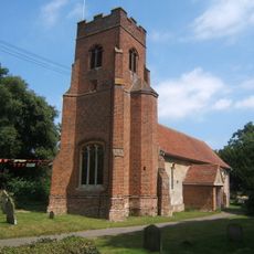
Church of All Saints
1.9 km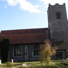
Church of St Mary and St Martin
2.6 km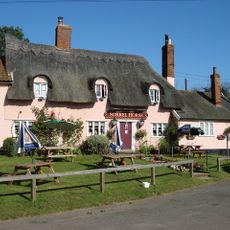
The Sorrel Horse Inn, Shottisham
4.2 km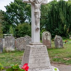
Bucklesham War Memorial
4.1 km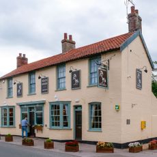
The White Horse, Kirton
2.7 km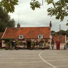
The Fox, Newbourne
1.4 km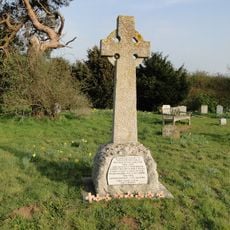
Ramsholt War Memorial
2.2 km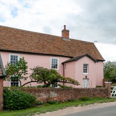
Hill Farmhouse
2.1 km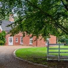
The Old Rectory
4.1 km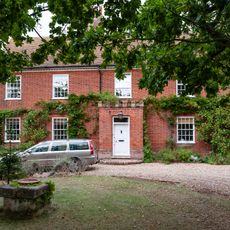
Manor House
2.4 km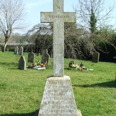
Newbourne War Memorial
1.4 km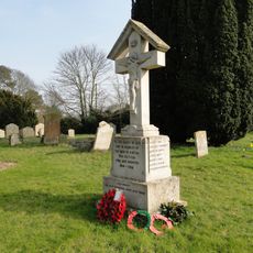
Kirton War Memorial
2.7 km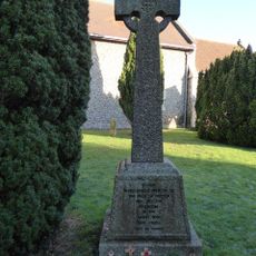
Sutton War Memorial
4.6 km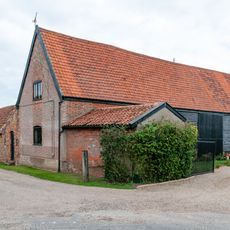
Barn, 30 Metres East Of Hill Farmhouse
2.1 km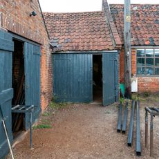
Smithy House
2.7 kmRecensioni
Ha visitato questo luogo? Tocchi le stelle per valutarlo e condividere la Sua esperienza o foto con la community! Provalo ora! Puoi annullarlo in qualsiasi momento.
Scopri tesori nascosti ad ogni viaggio!
Da piccoli caffè caratteristici a panorami nascosti, fuggi dalla folla e scova i posti che fanno davvero per te. La nostra app ti semplifica tutto: ricerca vocale, filtri furbi, percorsi ottimizzati e dritte autentiche da viaggiatori di tutto il mondo. Scaricala subito per vivere l'avventura sul tuo smartphone!

Un nuovo approccio alla scoperta turistica❞
— Le Figaro
Tutti i luoghi che meritano di essere esplorati❞
— France Info
Un’escursione su misura in pochi clic❞
— 20 Minutes