
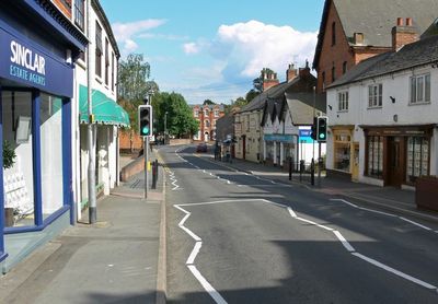
Sileby, village and civil parish in the Soar Valley in Leicestershire, England
Posizione: Charnwood
Coordinate GPS: 52.73322,-1.10454
Ultimo aggiornamento: 3 marzo 2025 alle 04:17
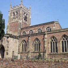
Church of St Mary
576 m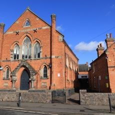
Sileby Wesleyan Methodist Church
517 m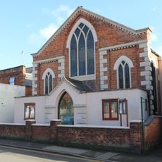
Sileby Primitive Methodist Church
247 m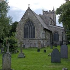
Church of All Saints
1.8 km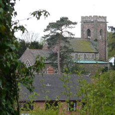
Church of All Saints
2.6 km
33, Little Church Lane
615 m
2, Church Street
2.6 km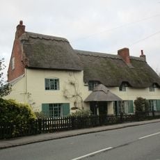
Millstream Cottage
1.7 km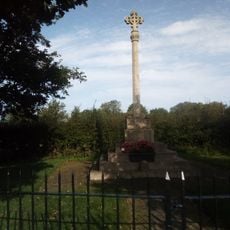
Seagrave war memorial
2.4 km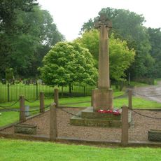
War Memorial
1.7 km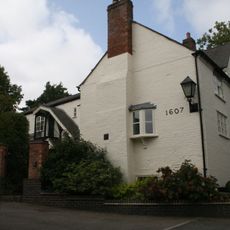
Abbotsbury Court
2.4 km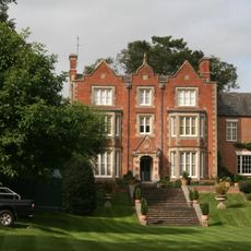
Seagrave Hall
2.6 km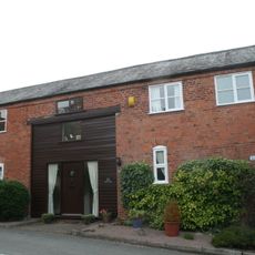
Barn And Outbuildings At Number 8 (Park Farmhouse)
2.5 km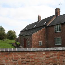
Whitehouse Farmhouse
3 km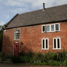
Barn Approximately 20 Metres To West Of And At Number 26 (The Croft)
2.4 km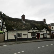
Free Trade Inn Public House
594 m
Dovecote At Number 50 (The Firs)
2.7 km
35 And 37, Cossington Road
649 m
7, The Banks
2.7 km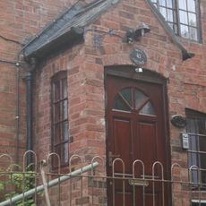
45, Swan Street
2.5 km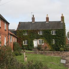
Hawley Fields Farmhouse
3 km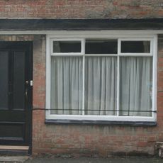
45, King Street
2.6 km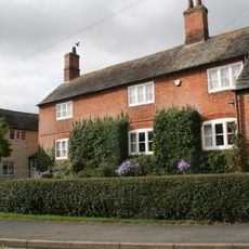
Ivy House Farmhouse
2.6 km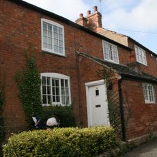
29, King Street
2.6 km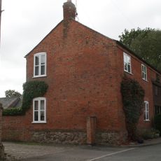
Park Farmhouse
2.5 km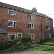
The Croft
2.4 km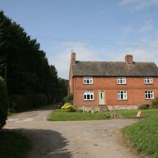
58, Green Lane
3 km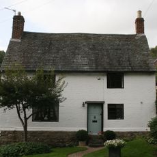
5, King Street
2.6 kmRecensioni
Ha visitato questo luogo? Tocchi le stelle per valutarlo e condividere la Sua esperienza o foto con la community! Provalo ora! Puoi annullarlo in qualsiasi momento.
Scopri tesori nascosti ad ogni viaggio!
Da piccoli caffè caratteristici a panorami nascosti, fuggi dalla folla e scova i posti che fanno davvero per te. La nostra app ti semplifica tutto: ricerca vocale, filtri furbi, percorsi ottimizzati e dritte autentiche da viaggiatori di tutto il mondo. Scaricala subito per vivere l'avventura sul tuo smartphone!

Un nuovo approccio alla scoperta turistica❞
— Le Figaro
Tutti i luoghi che meritano di essere esplorati❞
— France Info
Un’escursione su misura in pochi clic❞
— 20 Minutes