
Stotfold, town and civil parish in Bedfordshire, United Kingdom
Posizione: Central Bedfordshire
Sito web: http://stotfoldtowncouncil.gov.uk
Coordinate GPS: 52.01800,-0.22800
Ultimo aggiornamento: 5 marzo 2025 alle 12:51

Church of St. Mary the Virgin, Baldock
4.1 km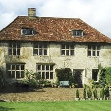
Hinxworth Place
3.4 km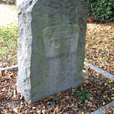
Church of St Nicholas, Norton
2.9 km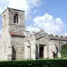
St Mary Magdalene's Church, Caldecote
2.4 km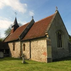
Church of All Saints, Radwell
1.9 km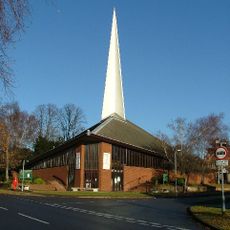
St George's Church
3.5 km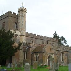
Church of St Vincent, Newnham
2.7 km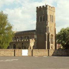
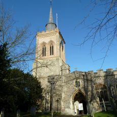
Church of St Mary the Virgin
458 m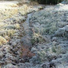
Ivel Springs
3.5 km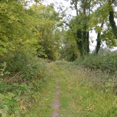
Arlesey Old Moat and Glebe Meadows
2.8 km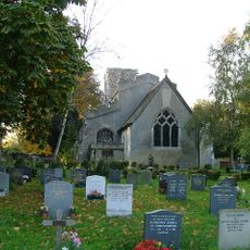
Church of St Peter, Arlesey
2.6 km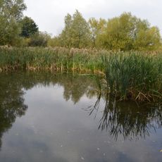
Stotfold Mill Meadows
826 m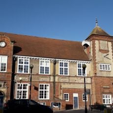
Baldock Museum and Local History Society
4.2 km
Stotfold Watermill & Nature Reserve
639 m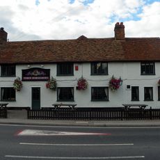
The Three Horseshoes Inn
3 km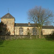
Church of Saint Guthlac
1.6 km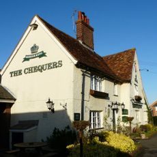
The Chequers Public House
579 m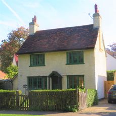
217, Icknield Way
4 km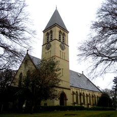
Church At Fairfield Hospital
2.1 km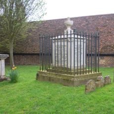
Tomb Of William Clarkson
4.1 km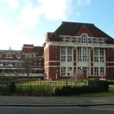
The Spirella Building, Associated Fountain, Lamp Standards And Steps
4.2 km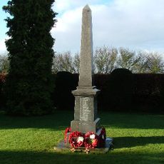
Stotfold War Memorial
691 m
Butterfield House
4.1 km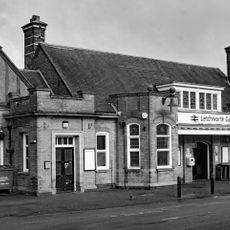
Booking Hall, Public Rooms, Offices And Footbridge At Letchworth Station
4.2 km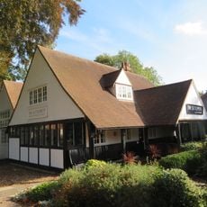
The Settlement
4 km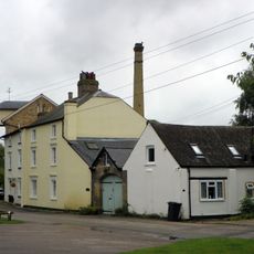
Stotfold Mill
652 m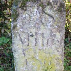
Milestone, North Road, N of jct with Norton Mill Lane
3 km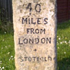
Milestone, Arlersley Road, 160m S of jct with Regent Street
348 mRecensioni
Ha visitato questo luogo? Tocchi le stelle per valutarlo e condividere la Sua esperienza o foto con la community! Provalo ora! Puoi annullarlo in qualsiasi momento.
Scopri tesori nascosti ad ogni viaggio!
Da piccoli caffè caratteristici a panorami nascosti, fuggi dalla folla e scova i posti che fanno davvero per te. La nostra app ti semplifica tutto: ricerca vocale, filtri furbi, percorsi ottimizzati e dritte autentiche da viaggiatori di tutto il mondo. Scaricala subito per vivere l'avventura sul tuo smartphone!

Un nuovo approccio alla scoperta turistica❞
— Le Figaro
Tutti i luoghi che meritano di essere esplorati❞
— France Info
Un’escursione su misura in pochi clic❞
— 20 Minutes