Arnold, town in Gedling, Nottinghamshire, UK; part of the Nottingham conurbation
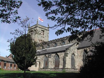
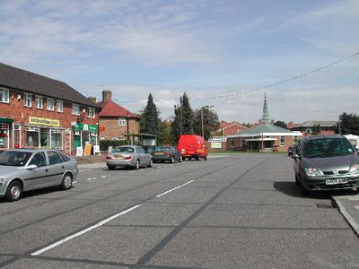
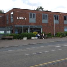
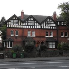
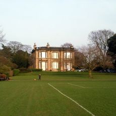
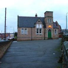
Arnold è un piccolo paese mercato nel borough di Gedling, Nottinghamshire, Inghilterra, con una storia che risale a molti secoli fa. La città presenta una strada principale attiva fiancheggiata da negozi e caffè, un mercato settimanale che vende prodotti freschi e artigianato, e un mix di edifici storici accanto a moderne attività commerciali.
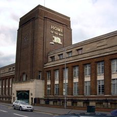
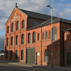
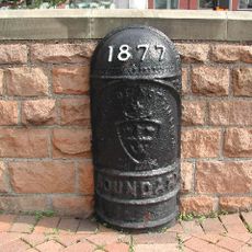
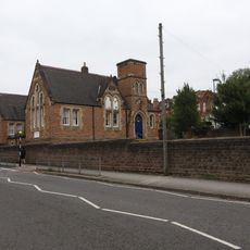
L'insediamento fu registrato nel Domesday Book come "Ernehale" e successivamente si sviluppò in un centro commerciale per la regione circostante. La città fu plasmata dalla produzione di calzetteria, con fabbriche che un tempo dominavano il paesaggio e i cui edifici ancora segnano il tessuto urbano oggi.
Il nome di Arnold ha radici nel Domesday Book, dove era registrato come "Ernehale", riflettendo il passato antico dell'area. Oggi, il carattere della città si manifesta nei mercati settimanali dove i locali si riuniscono per fare acquisti, chiacchierare con i venditori e mantenere il ritmo della vita comunitaria che ha definito il luogo per generazioni.
Arnold è facilmente accessibile in auto o autobus, con parcheggio disponibile in tutta la città. Il modo migliore per esplorare è a piedi lungo la strada principale e il mercato, soprattutto nei giorni di mercato come martedì, venerdì e sabato quando la maggior parte dei banchi sono attivi.
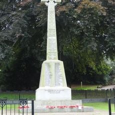
Arnold ha giocato un ruolo inaspettato nella storia del lavoro, poiché è stato il sito delle prime proteste contro le macchine nel 1811 che erano collegate ai Ludditi. Questi eventi mostrano come una piccola città manifatturiera come questa ha risposto presto ai cambiamenti portati dalle fabbriche.
La comunità dei viaggiatori curiosi
AroundUs riunisce migliaia di luoghi selezionati, consigli locali e gemme nascoste, arricchiti ogni giorno da oltre 60,000 contributori in tutto il mondo.