Badminton, Villaggio rurale nel South Gloucestershire, Inghilterra
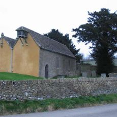
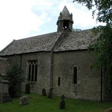
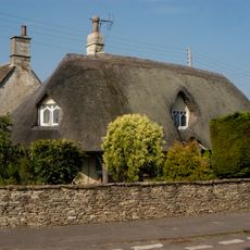
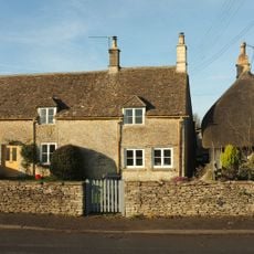
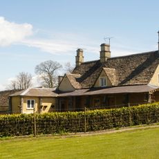
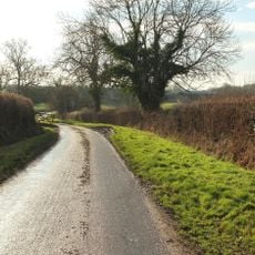
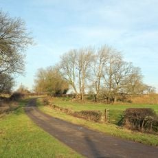
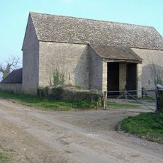
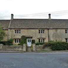
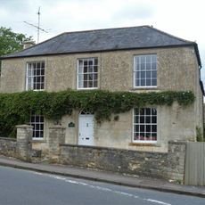
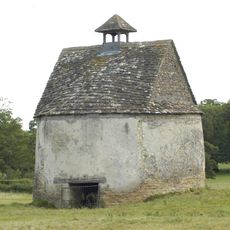
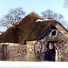
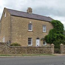
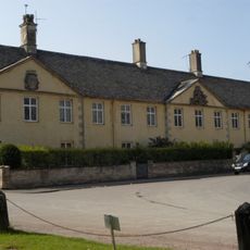
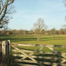
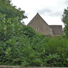
Badminton è un villaggio rurale nel South Gloucestershire che si estende su una campagna ondulata con edifici in pietra calcarea. L'area è caratterizzata da numerose fattorie che circondano l'insediamento centrale, creando un paesaggio rurale inglese tradizionale.
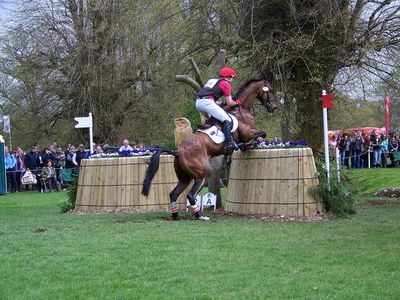
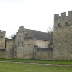
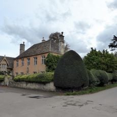
La proprietà di Badminton divenne la sede principale dei Duchi di Beaufort nel 1612, plasmando i legami con la nobiltà britannica. La località si sviluppò successivamente in una sede di livello mondiale per eventi equestri, affermandosi come destinazione leader per le prove internazionali di cavalli.
Il nome Badminton divenne famoso in tutto il mondo quando lo sport fu inventato qui nel corso del XIX secolo. La connessione tra questo luogo e il gioco rimane parte dell'identità locale e attira i visitanti interessati al patrimonio sportivo.
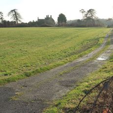
Il villaggio rimane in gran parte privato, con accesso pubblico limitato tranne durante i principali eventi equestri. I visitatori che vengono durante queste occasioni possono esplorare le aree designate e vivere la proprietà da una prospettiva di spettatore.
La proprietà contiene uno dei più grandi giardini privati d'Inghilterra con strutture di siepi formali e vaste collezioni di piante. Questi giardini attentamente progettati rimangono in gran parte nascosti al pubblico e sono tra i tesori meno noti della regione.
La comunità dei viaggiatori curiosi
AroundUs riunisce migliaia di luoghi selezionati, consigli locali e gemme nascoste, arricchiti ogni giorno da oltre 60,000 contributori in tutto il mondo.