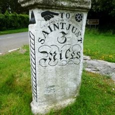
St Buryan, village and former civil parish in Cornwall, England
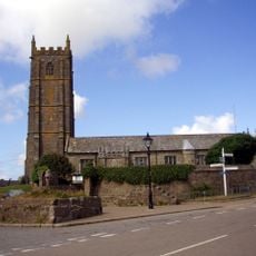
St Buryan è un piccolo villaggio nel sud-ovest della Cornovaglia circondato da campi e muri di pietra, con una chiesa antica che domina una collina nel suo centro. Le case in pietra si raggruppano attorno a questo punto di riferimento, creando un insediamento tranquillo dal ritmo lento della vita quotidiana.
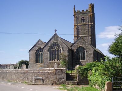
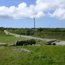
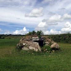
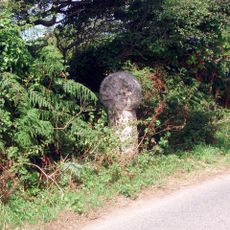
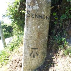
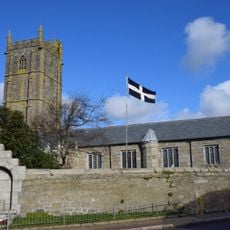
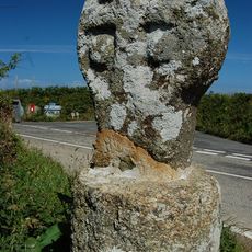
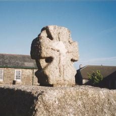
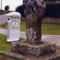
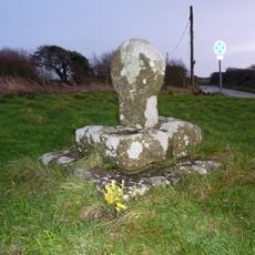
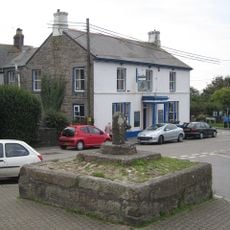
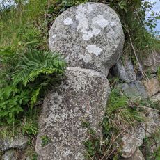
L'area era abitata in epoca preistorica, come testimoniato dagli antichi circoli di pietra e dalle camere sepolcrali nelle vicinanze. Il villaggio crebbe attorno alla sua chiesa, costruita nel 14° secolo, che divenne e rimane il cuore storico dell'insediamento.
Il villaggio prende il nome da santa Buriana, una figura delle leggende irlandesi che rimane parte della tradizione locale. La comunità mantiene viva questa eredità attraverso festival annuali con musica folk, storie condivise e pasti che riflettono il loro legame con la terra e il mare.
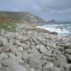
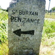
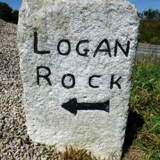
Il villaggio è un buon punto di partenza per passeggiate lungo la costa vicina, offrendo accesso a spiagge tranquille e sentieri escursionistici. Un piccolo negozio locale fornisce i servizi essenziali e tutto il centro è raggiungibile a piedi.
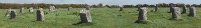
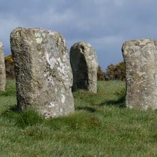
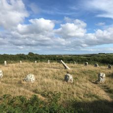
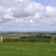
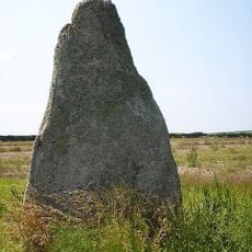
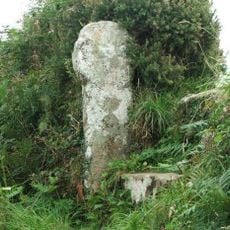
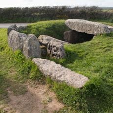
Due circoli di pietra dell'Età del Bronzo nelle vicinanze, Boscawen-un e le Merry Maidens, risalgono a circa 5000 anni fa e sono circondati da leggende locali su donne incanate e rituali antichi. Questi monumenti preistorici rimangono come testimoni silenziosi di cerimonie dimenticate da epoche passate.
La comunità dei viaggiatori curiosi
AroundUs riunisce migliaia di luoghi selezionati, consigli locali e gemme nascoste, arricchiti ogni giorno da oltre 60,000 contributori in tutto il mondo.