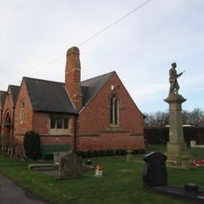
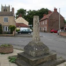
Hatfield, Divisione amministrativa a Doncaster, Inghilterra
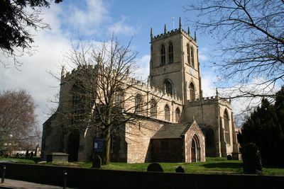
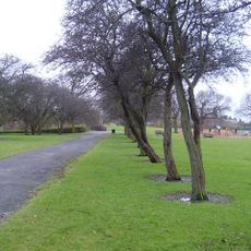
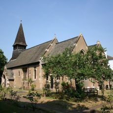
Hatfield è una divisione amministrativa a Doncaster che si trova su terreno ghiaioso circondato da antiche torbiere. L'autostrada M18 attraversa l'area, collegando lo Yorkshire al Lincolnshire.
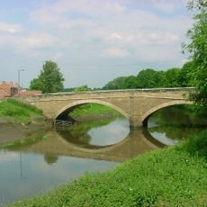
Un conflitto importante nel 633 d.C. ha ristrutturato il paesaggio politico regionale quando potenze rivali hanno lottato per il controllo. Successivamente, i progetti di drenaggio del XVII secolo hanno trasformato il terreno paludoso in terre agricole produttive.
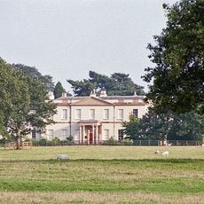
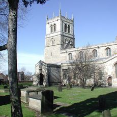
Il Travis Trust, fondato nel 1710, ha sostenuto l'educazione dei bambini locali attraverso una consistente dotazione di terre nella regione. Questa istituzione caritativa ha plasmato il tessuto sociale della comunità per generazioni.
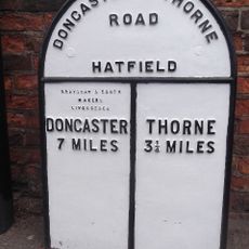
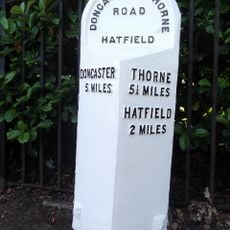
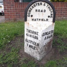
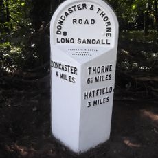
L'area è accessibile tramite la strada A18 e una stazione ferroviaria con collegamenti a città e paesi vicini. La sua posizione agli incroci di trasporto principali facilita l'esplorazione della regione più ampia.
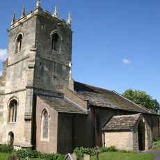
Un ingegnere olandese ha supervisionato un ambizioso progetto di drenaggio all'inizio del 1600 che ha convertito vaste zone umide in terre agricole. Questa trasformazione ha alterato sia il paesaggio che le opportunità economiche di tutta l'area.
La comunità dei viaggiatori curiosi
AroundUs riunisce migliaia di luoghi selezionati, consigli locali e gemme nascoste, arricchiti ogni giorno da oltre 60,000 contributori in tutto il mondo.