
Blyth Valley, former local government district in north east England
Posizione: Northumberland
Inizio: 1 aprile 1974
Coordinate GPS: 55.12700,-1.52300
Ultimo aggiornamento: 3 marzo 2025 alle 03:25
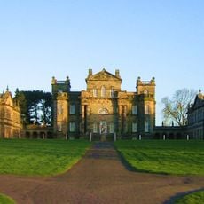
Seaton Delaval Hall
5.3 km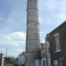
Blyth High Light
1.5 km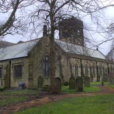
Church of St Cuthbert
4.5 km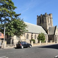
Church of St Cuthbert
1.3 km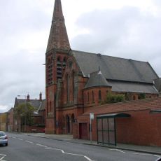
Blyth United Reformed Church
565 m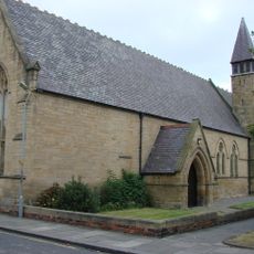
Church of St Mary
723 m
Church of Our Lady and St Wilfred
507 m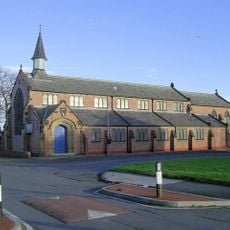
Parish Church of St. John
3.1 km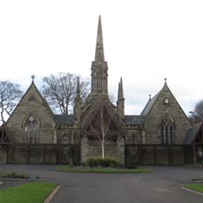
Pair Of Chapels In Cowpen Cemetery
535 m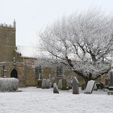
Church of St Mary
3.5 km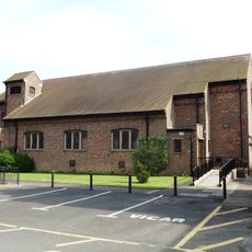
St Bede Church
2.1 km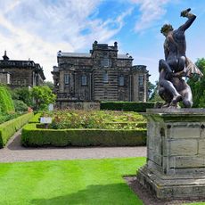
Statue of Samson Slaying Philistine in Garden to West of Seaton Delaval Hall
5.3 km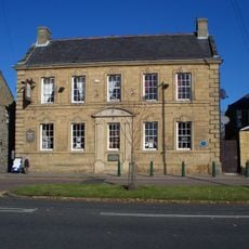
The Grapes
4.7 km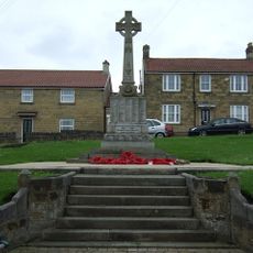
Bedlington War Memorial
4.6 km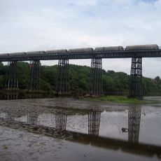
North Seaton Viaduct
5.1 km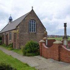
Cambois War Memorial
2.2 km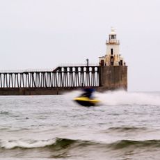
Blyth East Pier light
2.6 km
Blyth WWII Memorial Garden, Northumderland
1.5 km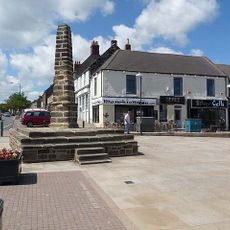
The Cross
4.6 km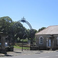
Gates And Screen Wall At Entrance To Cowpen Cemetery
617 m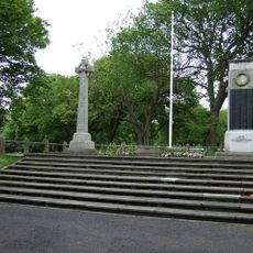
Blyth First World War Memorial
1.5 km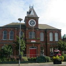
Blyth Library
1 km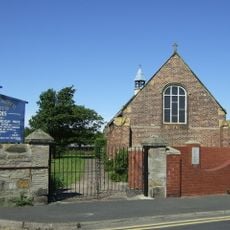
Church of St Andrew
2.2 km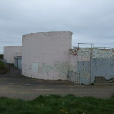
Fort On Blyth Links
2.7 km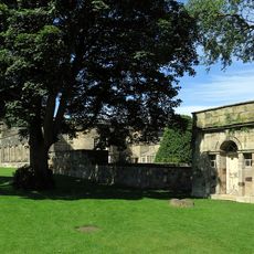
Privy 80 Metres North East Of Seaton Delaval Hall
5.2 km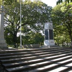
Blyth Boer War Memorial, Northumberland
1.5 km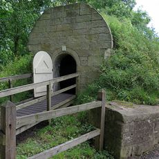
Icehouse 100 Metres North East Of Seaton Delaval Hall
5.2 km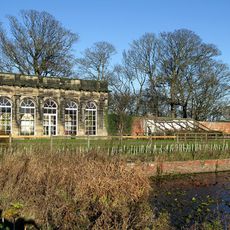
Orangery In Walled Garden 300 Metres North East Of Seaton Delaval Hall
5.1 kmRecensioni
Ha visitato questo luogo? Tocchi le stelle per valutarlo e condividere la Sua esperienza o foto con la community! Provalo ora! Puoi annullarlo in qualsiasi momento.
Scopri tesori nascosti ad ogni viaggio!
Da piccoli caffè caratteristici a panorami nascosti, fuggi dalla folla e scova i posti che fanno davvero per te. La nostra app ti semplifica tutto: ricerca vocale, filtri furbi, percorsi ottimizzati e dritte autentiche da viaggiatori di tutto il mondo. Scaricala subito per vivere l'avventura sul tuo smartphone!

Un nuovo approccio alla scoperta turistica❞
— Le Figaro
Tutti i luoghi che meritano di essere esplorati❞
— France Info
Un’escursione su misura in pochi clic❞
— 20 Minutes