Ayer, comune statunitense del Massachusetts
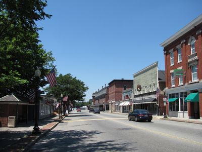
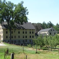
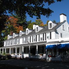
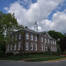
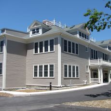
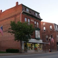
Ayer è una città nella contea di Middlesex, Massachusetts, situata vicino a Boston e che presenta il carattere tipico di una piccola città del New England. La comunità ha un'area centrale con attività commerciali locali e quartieri residenziali che si estendono verso l'esterno.
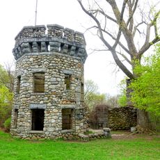
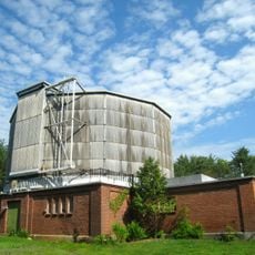
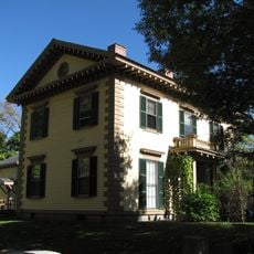
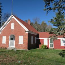
La città fu fondata nel 19° secolo e si sviluppò da origini industriali e agricole. Queste prime attività economiche hanno plasmato come la comunità è cresciuta e si è definita nel tempo.
La città è accessibile con i trasporti pubblici da Boston e ha parcheggio disponibile nel centro. I visitatori possono trovare ristoranti, caffetterie e negozi locali a breve distanza a piedi.
La comunità dei viaggiatori curiosi
AroundUs riunisce migliaia di luoghi selezionati, consigli locali e gemme nascoste, arricchiti ogni giorno da oltre 60,000 contributori in tutto il mondo.