
Enders Dam, dam in Chase County, Nebraska
Posizione: Chase County
Coordinate GPS: 40.42250,-101.51800
Ultimo aggiornamento: 27 settembre 2025 alle 16:22

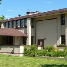
Harvey P. Sutton House
79.6 km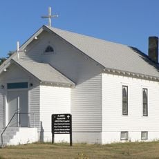
St. John's Evangelical Lutheran German Church and Cemetery
59.7 km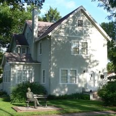
George W. Norris House
79.6 km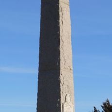
Massacre Canyon Historical Monument
52.8 km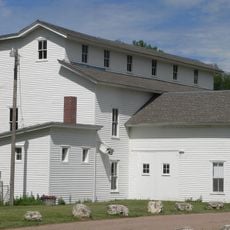
Champion Mill
20.5 km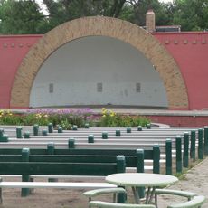
Grant City Park
50.4 km
Howard T. Sawhill City Park
75.9 km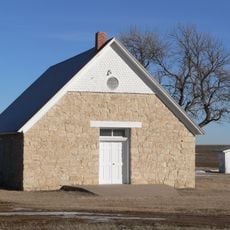
St. Paul's Methodist Protestant Church
68.8 km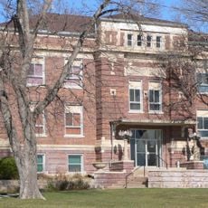
Dundy County Courthouse
41.4 km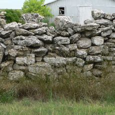
Texas Trail Stone Corral
21.1 km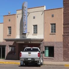
Cliff Theater
71.1 km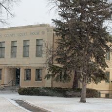
Phillips County Courthouse
68.7 km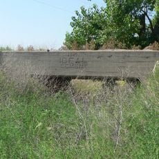
Ideal Cement bridge (Stratton, Nebraska)
41 km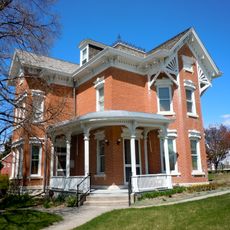
Leonidas A. Brandhoefer Mansion
81 km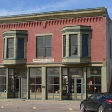
Shirley Opera House
79.6 km
W. E. Heginbotham House
68.7 km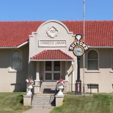
McCook Public-Carnegie Library
79.7 km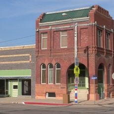
Grant Commercial Historic District
49.8 km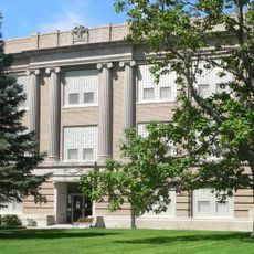
Perkins County Courthouse
49.9 km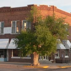
Henry Hickert Building
74.9 km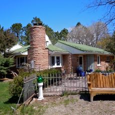
Dr. Burdette and Myrna Gainsforth House
81.3 km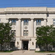
Red Willow County Courthouse
79.6 km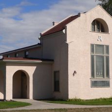
Johnston Memorial Building
55.2 km
Pinkie's Corner
28.5 km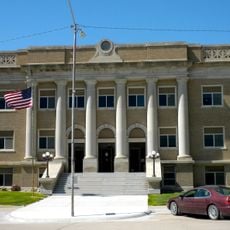
Cheyenne County Courthouse
76 km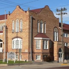
McCook YMCA
79.6 km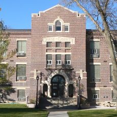
Chase County Courthouse
15.2 km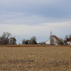
Millage Farm Rural Historic District
68.4 kmRecensioni
Ha visitato questo luogo? Tocchi le stelle per valutarlo e condividere la Sua esperienza o foto con la community! Provalo ora! Puoi annullarlo in qualsiasi momento.
Scopri tesori nascosti ad ogni viaggio!
Da piccoli caffè caratteristici a panorami nascosti, fuggi dalla folla e scova i posti che fanno davvero per te. La nostra app ti semplifica tutto: ricerca vocale, filtri furbi, percorsi ottimizzati e dritte autentiche da viaggiatori di tutto il mondo. Scaricala subito per vivere l'avventura sul tuo smartphone!

Un nuovo approccio alla scoperta turistica❞
— Le Figaro
Tutti i luoghi che meritano di essere esplorati❞
— France Info
Un’escursione su misura in pochi clic❞
— 20 Minutes