
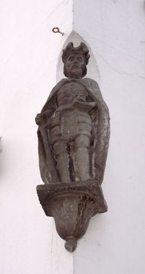
Keizer Hendrik IV, public artwork by Evert van Kooten Niekerk in Utrecht, Netherlands
Posizione: Utrecht
Inizio: 1850
Creatore: Evert van Kooten Niekerk
Coordinate GPS: 52.09000,5.11722
Ultimo aggiornamento: 10 marzo 2025 alle 21:34
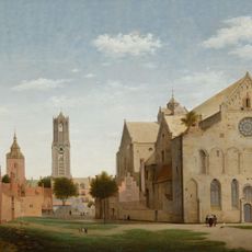
St. Mary's Church
100 m
Stairway to Heaven
19 m
Huis Zoudenbalch
82 m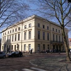
Gebouw voor Kunsten en Wetenschappen (Utrecht)
31 m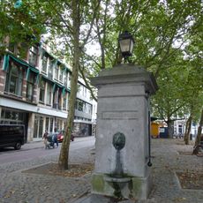
Mariapomp
65 m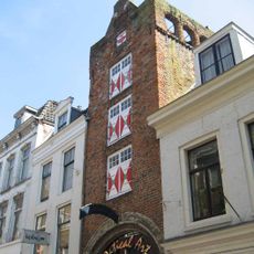
Huis Zoudenbalch
41 m
Mariaplaats 9, Utrecht
28 m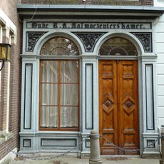
Mariahoek 16, Utrecht
89 m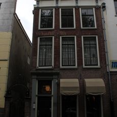
Mariaplaats 51, Utrecht
92 m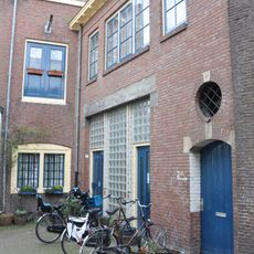
Achter Clarenburg 2, Utrecht
103 m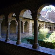
Mariakerk: southern arm of the cloister
88 m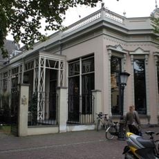
Mariaplaats 14, Utrecht
32 m
Zadelstraat 45, Utrecht
90 m
Donkerstraat 23, Utrecht
83 m
Donkerstraat 25, Utrecht
85 m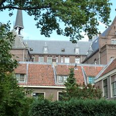
Mariahoek 14, Utrecht
102 m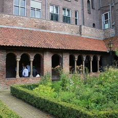
Mariakerk: eastern arm of the cloister
74 m
Mariaplaats 10, Utrecht
27 m
Mariastraat 30, Utrecht
37 m
Mariastraat 32, Utrecht
33 m
Mariastraat 34, Utrecht
36 m
Mariastraat 4, Utrecht
63 m
Oude Mannen- en Vrouwenhuis, Utrecht
102 m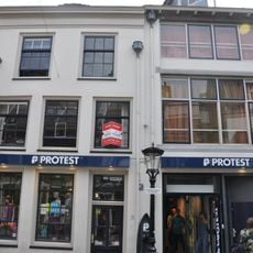
Voor Clarenburg 10, Utrecht
103 m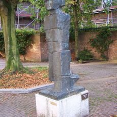
Gehender (Gaande man)
63 m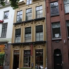
Herenhuis met decoratief gepleisterde gevel
86 m
Mariaplaats 50, Utrecht
90 m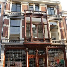
Steenweg 44, Utrecht
74 mRecensioni
Ha visitato questo luogo? Tocchi le stelle per valutarlo e condividere la Sua esperienza o foto con la community! Provalo ora! Puoi annullarlo in qualsiasi momento.
Scopri tesori nascosti ad ogni viaggio!
Da piccoli caffè caratteristici a panorami nascosti, fuggi dalla folla e scova i posti che fanno davvero per te. La nostra app ti semplifica tutto: ricerca vocale, filtri furbi, percorsi ottimizzati e dritte autentiche da viaggiatori di tutto il mondo. Scaricala subito per vivere l'avventura sul tuo smartphone!

Un nuovo approccio alla scoperta turistica❞
— Le Figaro
Tutti i luoghi che meritano di essere esplorati❞
— France Info
Un’escursione su misura in pochi clic❞
— 20 Minutes