
Waters Upton, village and civil parish in Telford and Wrekin, Shropshire, United Kingdom
Posizione: Telford and Wrekin
Coordinate GPS: 52.77330,-2.54972
Ultimo aggiornamento: 6 marzo 2025 alle 21:07
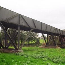
Longdon-Upon-Tern aqueduct
4.2 km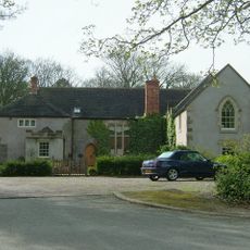
Apley Castle
6.9 km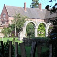
High Ercall Hall
4.2 km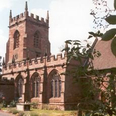
St Peter's Church, Edgmond
9 km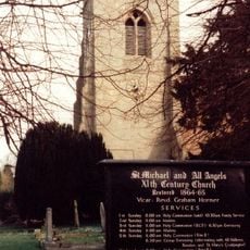
St Michael's Church, High Ercall
4.2 km
Talbot Chapel
9.6 km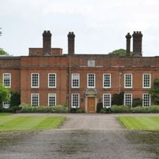
Peplow Hall
5.1 km
Church of St Lawrence
6.6 km
All Hallows, Rowton
1.5 km
Church of St. Catherine
5.3 km
Church of St Michael
6.5 km
Church of St Mary
9.6 km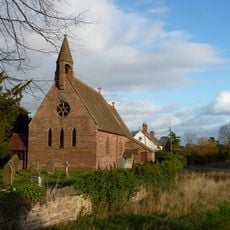
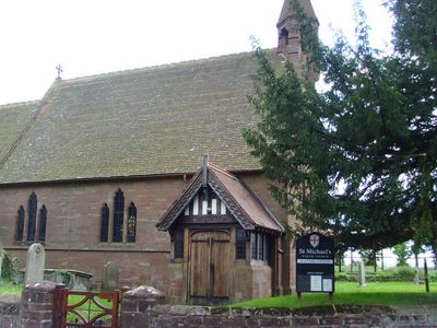
Church of St Michael
451 m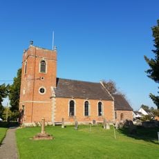
Church of St. John the Baptist
2.4 km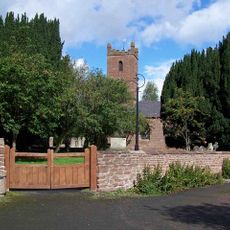
Church of All Saints
5.2 km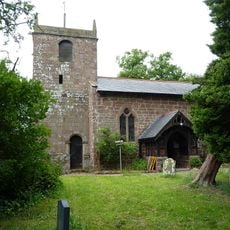
Church of St Chad
5.2 km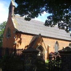
Church of St Bartholomew
4.3 km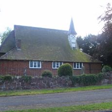
St Mary
1.6 km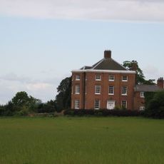
High Hatton Hall
5.7 km
New Caynton Mill House
7.2 km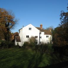
Ercall Mill Mill House
5.6 km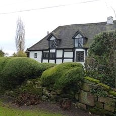
Longacre
3.9 km
Moated site, ridge and furrow cultivation remains and a building platform immediately north of Lower Grounds
5.2 km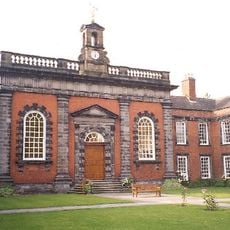
Preston Hospital Including Screen And Gates In Front
6.5 km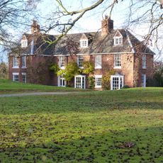
The Hall
398 m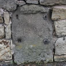
Milestone, Whitchurch Road, nr jcn Apley Avenue
7.6 km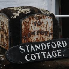
Milestone, Stanford Bridge
8.5 km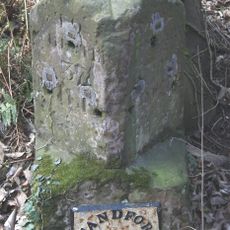
Milestone, Chetwynd Heath
9 kmRecensioni
Ha visitato questo luogo? Tocchi le stelle per valutarlo e condividere la Sua esperienza o foto con la community! Provalo ora! Puoi annullarlo in qualsiasi momento.
Scopri tesori nascosti ad ogni viaggio!
Da piccoli caffè caratteristici a panorami nascosti, fuggi dalla folla e scova i posti che fanno davvero per te. La nostra app ti semplifica tutto: ricerca vocale, filtri furbi, percorsi ottimizzati e dritte autentiche da viaggiatori di tutto il mondo. Scaricala subito per vivere l'avventura sul tuo smartphone!

Un nuovo approccio alla scoperta turistica❞
— Le Figaro
Tutti i luoghi che meritano di essere esplorati❞
— France Info
Un’escursione su misura in pochi clic❞
— 20 Minutes