
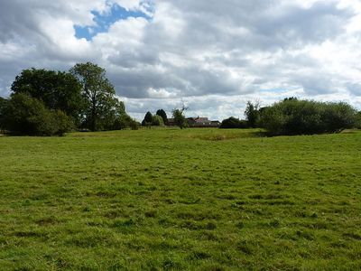
Moated site, ridge and furrow cultivation remains and a building platform immediately north of Lower Grounds
Moated site, ridge and furrow cultivation remains and a building platform immediately north of Lower Grounds, structures in Ercall Magna, Shropshire, England, UK
Posizione: Ercall Magna
Coordinate GPS: 52.73910,-2.60273
Ultimo aggiornamento: 10 marzo 2025 alle 02:55
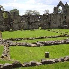
Haughmond Abbey
5.2 km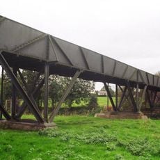
Longdon-Upon-Tern aqueduct
2.4 km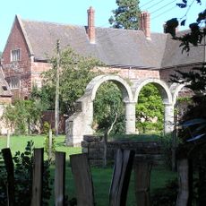
High Ercall Hall
1.5 km
St Michael's Church, High Ercall
1.5 km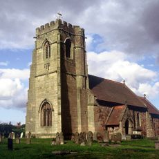
Church of St Lucia
5.3 km
Church of St Mary the Virgin
6.3 km
Church of St George
1.6 km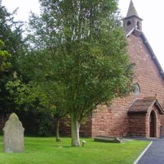
All Hallows, Rowton
4.6 km
Church of St Peter
4.9 km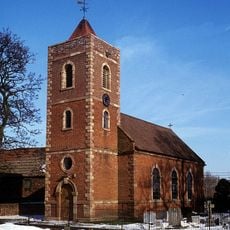
Church of St. Catherine
5.8 km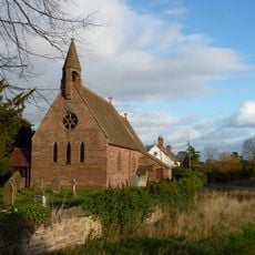
Church of St Michael
5.3 km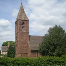
Church of St John the Baptist
3.4 km
Church of St Bartholomew
2.9 km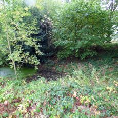
Moated site 140m east of St Mary's Church
6.2 km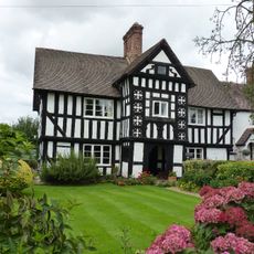
2, Uppington
6.5 km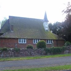
St Mary
4.5 km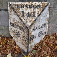
Milepost Approximately 700 Yards South South West Of Orleton Hall
6.5 km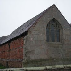
Stable At Poynton Manor
3 km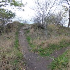
Haughmond Hill Camp
6 km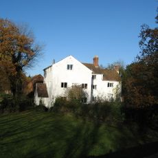
Ercall Mill Mill House
997 m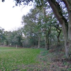
Ebury Hill
4.8 km
Wrockwardine War Memorial
4.8 km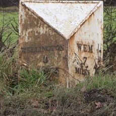
Milepost Approximately 425 Metres To South Of Field House
4.8 km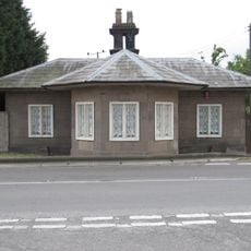
The Round House Umbrella House
5.8 km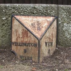
Milepost Approximately 10 Metres To West Of Shawbury Bridge
6.3 km
Number 1 (tudor House) And Part Of Number 2
6.5 km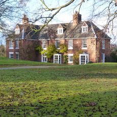
The Hall
5.4 km
Milestone, Ercall Magna; opp. Poynton turn
2.2 kmRecensioni
Ha visitato questo luogo? Tocchi le stelle per valutarlo e condividere la Sua esperienza o foto con la community! Provalo ora! Puoi annullarlo in qualsiasi momento.
Scopri tesori nascosti ad ogni viaggio!
Da piccoli caffè caratteristici a panorami nascosti, fuggi dalla folla e scova i posti che fanno davvero per te. La nostra app ti semplifica tutto: ricerca vocale, filtri furbi, percorsi ottimizzati e dritte autentiche da viaggiatori di tutto il mondo. Scaricala subito per vivere l'avventura sul tuo smartphone!

Un nuovo approccio alla scoperta turistica❞
— Le Figaro
Tutti i luoghi che meritano di essere esplorati❞
— France Info
Un’escursione su misura in pochi clic❞
— 20 Minutes