Wolfsberg, Vetta montana nella Svizzera Sassone, Germania.
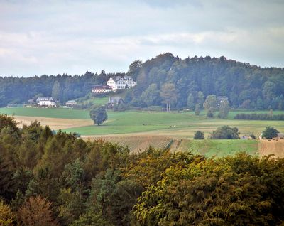
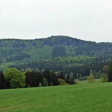
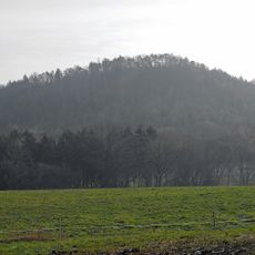
Il Wolfsberg e una vetta montana nel massiccio di arenaria dell'Elba in Sassonia, che si eleva a 343 metri sopra il livello del mare. Il terreno e caratterizzato da formazioni di arenaria distintive che plasmano sia il paesaggio che il percorso escursionistico.
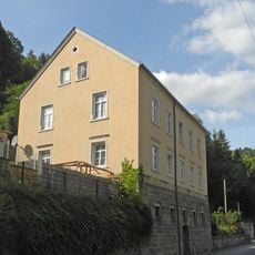
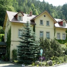
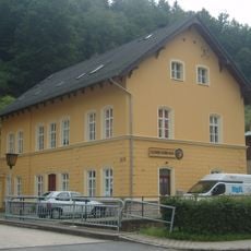
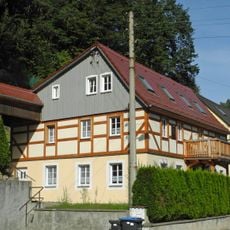
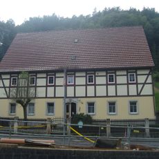
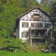
L'area si e aperta ai visitatori alla fine del 1800 quando una locanda e stata costruita sotto la vetta. Questo edificio si e successivamente trasformato nell'hotel che esiste oggi e ha segnato l'inizio del turismo nella regione.
Il luogo si trova sui sentieri che artisti e camminanti hanno utilizzato per generazioni per scoprire e disegnare il paesaggio di arenaria. Oggi i visitatori possono seguire questi percorsi artistici e capire perché la regione ha attratto così tanti pittori.
Il miglior accesso e dalla stazione ferroviaria di Schmilka nella valle dell'Elba, dove i sentieri segnalati conducono verso la vetta. L'ascesa segue il terreno attraverso il paesaggio di arenaria e richiede attrezzatura da escursionismo standard e scarpe appropriate.
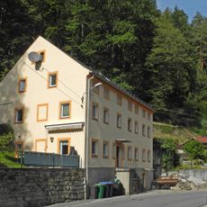
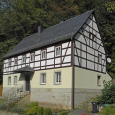
La vetta si trova su proprieta privata dell'hotel e non e liberamente accessibile come altri picchi della regione. Da questo punto i visitatori possono vedere quanto sia vicino ad altre vette rocciose ben note come il Grosser Zschirnstein.
La comunità dei viaggiatori curiosi
AroundUs riunisce migliaia di luoghi selezionati, consigli locali e gemme nascoste, arricchiti ogni giorno da oltre 60,000 contributori in tutto il mondo.