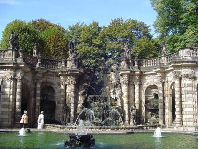
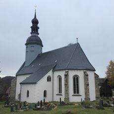
Reinhardtsdorf Sandstone, Arenaria estratta a Reinhardtsdorf, Sassonia, Germania.
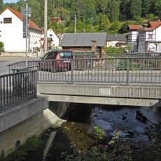
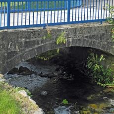
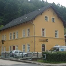
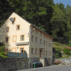
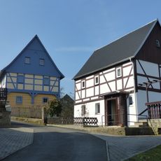
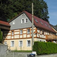
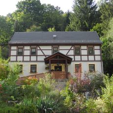
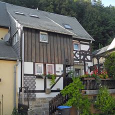
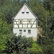
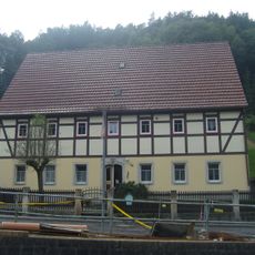
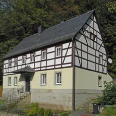
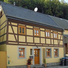
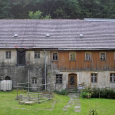
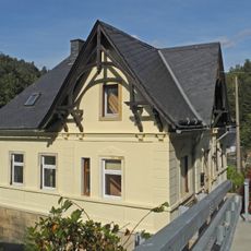
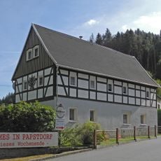
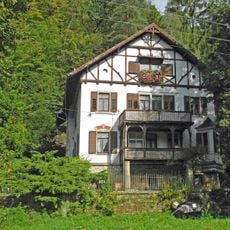
L'arenaria di Reinhardtsdorf è una roccia sedimentaria in tonalità di grigio, bianco e giallo, composta da grani fini a medi legati da composti di silice. Viene estratta da diversi siti nella regione e utilizzata per vari scopi costruttivi.
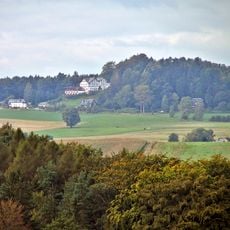
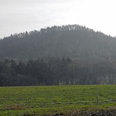
La pietra si è formata durante il periodo Turoniano medio dell'era Cretacica, circa 90-100 milioni di anni fa. Questi depositi creano oggi le caratteristiche mesas e formazioni rocciose della Svizzera sassone.
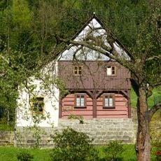
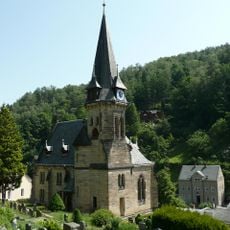
La pietra forma le caratteristiche formazioni rocciose della Svizzera sassone ed è stata utilizzata per secoli in costruzioni e opere d'arte. Le tradizioni di estrazione rimangono legate all'artigianato locale e all'identità regionale.
Questa pietra è facile da lavorare e spaccare, il che la rende popolare tra gli artigiani. Resiste bene all'umidità e alle condizioni meteorologiche, rendendola pratica per progetti di costruzione all'aperto.
Nonostante i cicli ripetuti di gelo e disgelo, questo materiale mantiene la sua struttura e perde pochissima massa. Questa resistenza spiega perché è stato scelto per monumenti e posizioni esposte per generazioni.
La comunità dei viaggiatori curiosi
AroundUs riunisce migliaia di luoghi selezionati, consigli locali e gemme nascoste, arricchiti ogni giorno da oltre 60,000 contributori in tutto il mondo.