
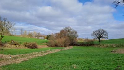
Lehmkuhlener Stauung, protected area in the European Union defined by the habitats directive in Schleswig-Holstein, Germany
Posizione: Schellhorn
Posizione: Wahlstorf
Posizione: Lehmkuhlen
Inizio: 1999
Coordinate GPS: 54.20540,10.33620
Ultimo aggiornamento: 5 marzo 2025 alle 03:12
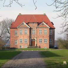
Gut Wahlstorf
2.2 km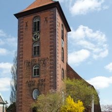
Stadtkirche Preetz
4.6 km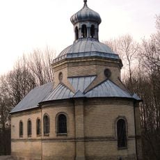
Kapelle Sophienhof
629 m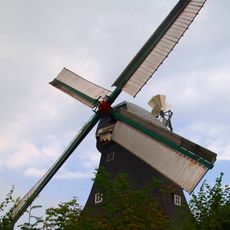
Langenrader Windmühle
4.6 km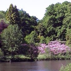
Arboretum Lehmkuhlen
2.8 km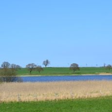
Rixdorfer Teich und Umgebung
4.9 km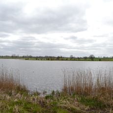
Kührener Teich und Umgebung
3.9 km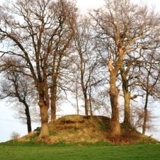
Grabhügel bei Trenthorst
1.5 km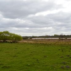
Halbinseln und Buchten im Lanker See
3.5 km
Kolksee bei Schellhorn
842 m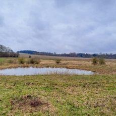
Lanker See und Kührener Teich
2.9 km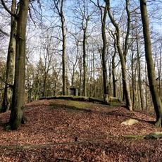
Ehrendenkmal Kühren
4.4 km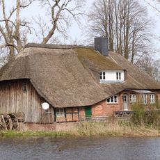
Wassermühle
4.1 km
Wohnhaus Klosterstraße 3
5 km
Kloster Preetz: Neues Torhaus
5.1 km
Gut Wahlstorf
4.3 km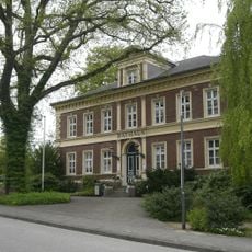
Rathaus
5.1 km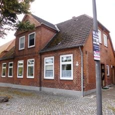
Wohnhaus Klosterstraße 7
5.1 km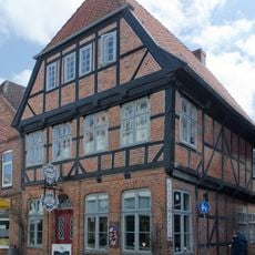
Wohnhaus Lange Brückstraße 22
4.8 km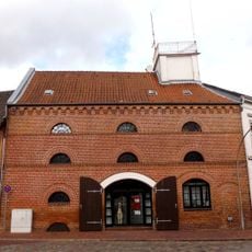
Speichergebäude mit Aussichtstürmchen
4.7 km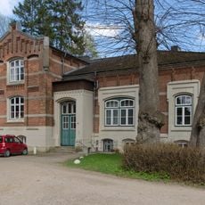
Kloster Preetz: Wohnhaus
5.2 km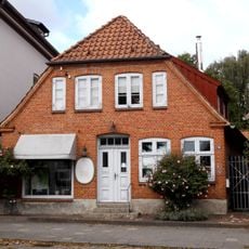
Wohnhaus Kirchenstraße 58
4.7 km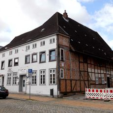
Wohnhaus Kirchenstraße 24
4.7 km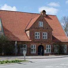
Wohnhaus Mühlenstraße 21
5 km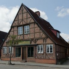
Wohnhaus Kirchenstraße 54
4.7 km
Kloster Preetz: Grundstücksfläche
5.1 km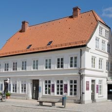
Wohn- und Geschäftshaus
4.9 km
Wohnhaus Klosterstraße 5
5 kmRecensioni
Ha visitato questo luogo? Tocchi le stelle per valutarlo e condividere la Sua esperienza o foto con la community! Provalo ora! Puoi annullarlo in qualsiasi momento.
Scopri tesori nascosti ad ogni viaggio!
Da piccoli caffè caratteristici a panorami nascosti, fuggi dalla folla e scova i posti che fanno davvero per te. La nostra app ti semplifica tutto: ricerca vocale, filtri furbi, percorsi ottimizzati e dritte autentiche da viaggiatori di tutto il mondo. Scaricala subito per vivere l'avventura sul tuo smartphone!

Un nuovo approccio alla scoperta turistica❞
— Le Figaro
Tutti i luoghi che meritano di essere esplorati❞
— France Info
Un’escursione su misura in pochi clic❞
— 20 Minutes