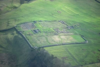
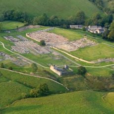
Vercovicium, Forte romano antico a Bardon Mill, Regno Unito
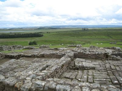
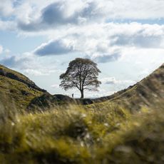
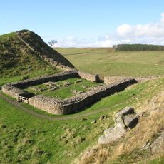
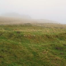
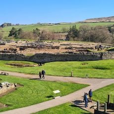
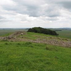
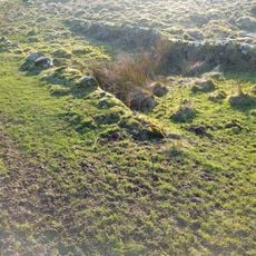
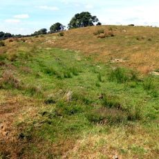
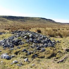
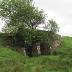
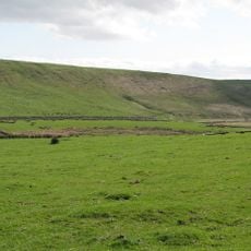
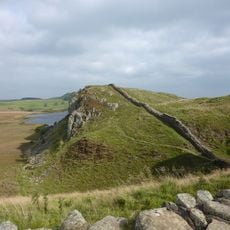
Housesteads è un forte romano situato su una cresta elevata lungo il Vallo di Adriano, con muri in pietra, edifici di caserme, granai di stoccaggio e una struttura di comando ben conservata. Questi resti rivelano come era organizzata un'installazione militare romana sul terreno collinare.
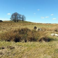
Conosciuto dai Romani come Vercovicium, il forte fu costruito nel 124 d.C. e operò per circa tre secoli sotto diverse unità militari. La guarnigione subì cambiamenti di dimensioni e funzione man mano che i bisogni di Roma in Britannia evolvevano.
Il forte era una guarnigione romana dove i soldati condividevano i pasti, si allenavano insieme e vivevano in alloggi separati secondo il rango. La disposizione degli edifici mostra come la vita quotidiana era organizzata e le differenze tra ufficiali e soldati comuni.
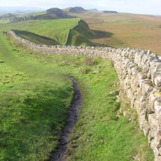
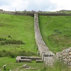
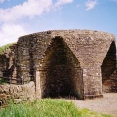
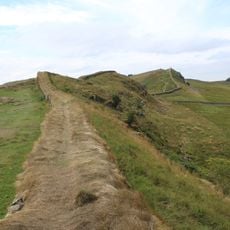
Il sito è aperto quotidianamente e accessibile tramite sentieri segnalati, anche se il terreno è irregolare e sale notevolmente. Un museo in loco espone manufatti romani e fornisce il contesto per comprendere il layout e i resti che si incontrano.
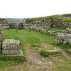
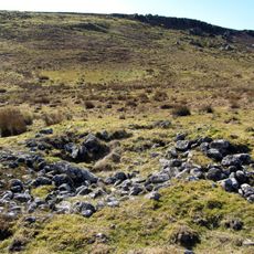
Il forte ancora mostra serbatoi d'acqua in pietra e latrine comuni, rivelando come i Romani hanno progettato i sistemi idrici e l'igiene in questa posizione esposta in cima alla collina. Queste innovazioni pratiche erano essenziali per sostenere una grande guarnigione in condizioni così impegnative.
La comunità dei viaggiatori curiosi
AroundUs riunisce migliaia di luoghi selezionati, consigli locali e gemme nascoste, arricchiti ogni giorno da oltre 60,000 contributori in tutto il mondo.