Milecastle 35, Forte romano a Haydon, Inghilterra.
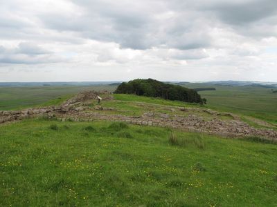
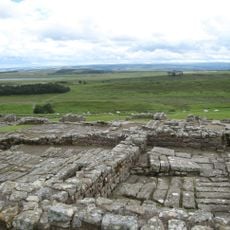
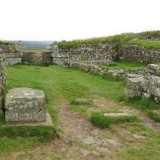
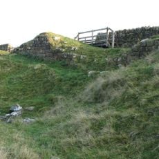
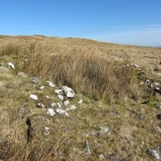
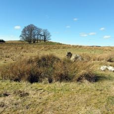
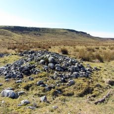
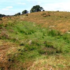
Milecastle 35 è un posto di controllo romano lungo il Muro di Adriano nell'Inghilterra settentrionale, con fondazioni in pietra e una porta posizionata sul lato sud-est. I resti mostrano il tipico layout compatto di circa 19 per 15,5 metri, con sezioni murate ancora in piedi a varie altezze.
La struttura fu originariamente costruita nel 2° secolo come parte del sistema di difesa della frontiera romana e funzionò come avamposto attivo per diverse generazioni. Dopo il ritiro romano, il sito scomparve gradualmente sotto la vegetazione fino a quando gli archeologi iniziarono a scoprirlo nell'Ottocento.
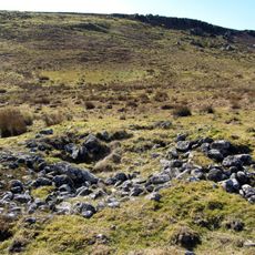
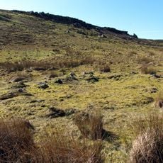
Il nome riflette la sua funzione come posto di controllo numerato lungo la frontiera romana, uno dei tanti edifici identici costruiti a intervalli regolari. I visitatori possono osservare le posizioni delle porte rimaste e notare come il layout indica una pianificazione militare ordinata.
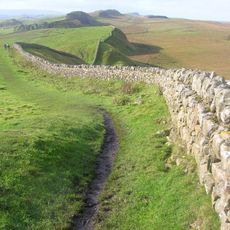
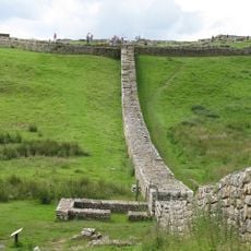
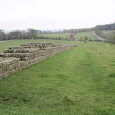
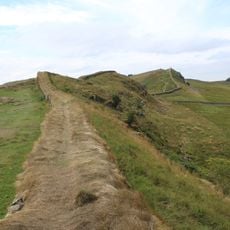
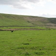
Il sito si trova lungo la Hadrian's Wall Path e si esplora meglio a piedi, permettendo ai visitatori di vedere molteplici stazioni romane lungo un singolo percorso. Il terreno aperto offre riparo limitato, quindi è consigliabile abbigliamento impermeabile e calzature robuste.
Gli scavi hanno rivelato che un forno da panetteria è stato costruito nel sito durante l'occupazione successiva, suggerendo che la funzione militare divenne meno importante nel tempo. Questo cambiamento mostra come gli avamposti di frontiera si evolsero in centri di fornitura comunitari.
La comunità dei viaggiatori curiosi
AroundUs riunisce migliaia di luoghi selezionati, consigli locali e gemme nascoste, arricchiti ogni giorno da oltre 60,000 contributori in tutto il mondo.