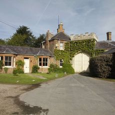
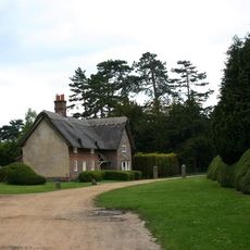
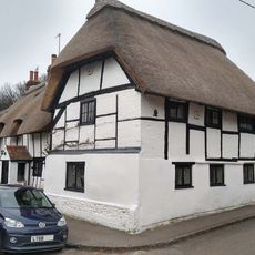
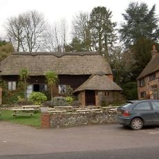
Watlington, market town and civil parish in South Oxfordshire district, Oxfordshire, England
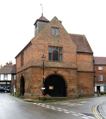
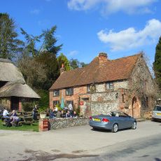
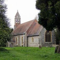
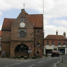
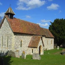
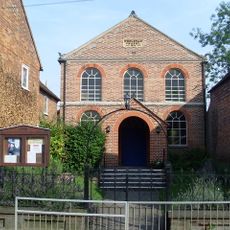
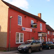
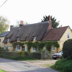
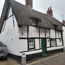
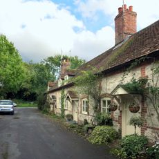
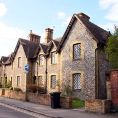
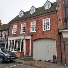
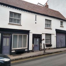
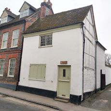
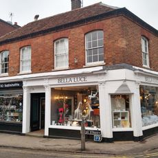
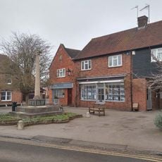
Watlington è una piccola città mercato e parrocchia civile nel South Oxfordshire, in Inghilterra, caratterizzata da vicoli stretti, vecchie case in pietra e una chiesa al centro. Un municipio del 17° secolo sorge vicino al cuore della città, accanto a qualche negozio e pub.
I primi abitanti si stabilirono in questa zona a partire circa dal 6° secolo, attratti dall'antica via commerciale Icknield Way che passava nelle vicinanze. Nel Medioevo, i mercati regolari del sabato erano già radicati e avevano dato forma alla città come centro commerciale locale.
Il nome Watlington risale a un antico colono di nome Waetla, il che conferisce al luogo un'origine personale rara per un toponimo. La tradizione del mercato del sabato è ancora viva oggi e il municipio rimane il punto di riferimento per gli eventi della comunità locale.
La città è facilmente raggiungibile in auto dalla M40 e ci sono collegamenti regolari in autobus tra Watlington e Oxford. Le sue dimensioni contenute permettono di visitarla a piedi in breve tempo, senza bisogno di una pianificazione specifica.
Su Watlington Hill, appena fuori dalla città, nel 18° secolo un proprietario terriero locale fece incidere nel pendio un segno bianco di gesso affinché sembrasse una guglia di chiesa vista dalla sua abitazione. La forma è ancora chiaramente visibile oggi e tende a sorprendere i visitatori quando la vedono per la prima volta.
La comunità dei viaggiatori curiosi
AroundUs riunisce migliaia di luoghi selezionati, consigli locali e gemme nascoste, arricchiti ogni giorno da oltre 60,000 contributori in tutto il mondo.