
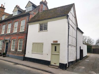
Barley Mow, house in Watlington, South Oxfordshire, Oxfordshire, UK
Posizione: Watlington
Coordinate GPS: 51.64527,-1.00552
Ultimo aggiornamento: 9 marzo 2025 alle 20:34
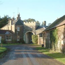
Castello di Shirburn
1.6 km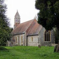
St Mary's Church, Pyrton
1.2 km
All Saints Church, Shirburn
1.6 km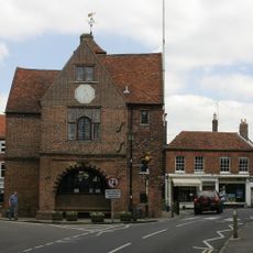
Town Hall
70 m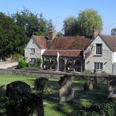
The Lord Nelson Inn
3.6 km
Church of St Leonard
481 m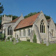
Church of St Bartholomew
3.6 km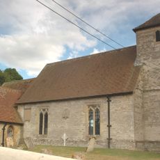
Church of the Holy Rood
2.3 km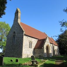
Church of St Nicholas
1.7 km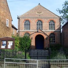
Watlington Methodist Church
140 m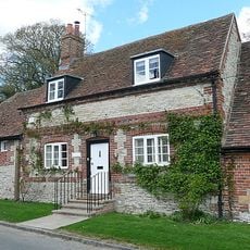
The Old Forge
3.5 km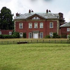
Britwell House and attached Walls and Coach House
3 km
Fox And Hounds Hotel And Public House
131 m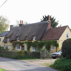
The Plough Inn Public House
1.5 km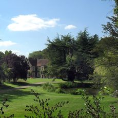
Pyrton Manor
1.2 km
Blackhorse Cottage
112 m
Hampden Cottage Manor Lodge
1.1 km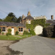
Gatehouse Approximately 85 Metres South Of Shirburn Castle
1.6 km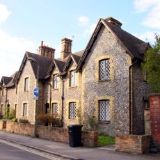
1-7, Hill Road
139 m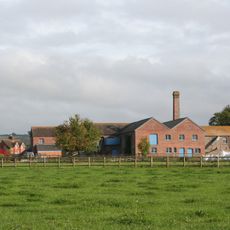
Model Farm, Engine House And Attached Buildings Approximately 15 Metres South South West Of Farmhouse
2.7 km
1-7, Blenheim Road
1.7 km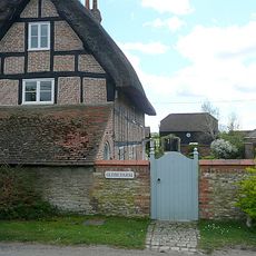
Glebe Farmhouse
3.5 km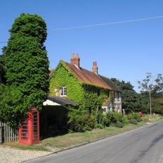
K6 Telephone Kiosk
3.5 km
Searleys and Simmons And Lawrence
86 m
The Thatch
224 m
Charringtons
33 m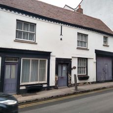
Three Tuns Antiques
76 m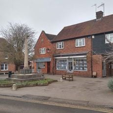
Watlington War Memorial, Oxfordshire
81 mRecensioni
Ha visitato questo luogo? Tocchi le stelle per valutarlo e condividere la Sua esperienza o foto con la community! Provalo ora! Puoi annullarlo in qualsiasi momento.
Scopri tesori nascosti ad ogni viaggio!
Da piccoli caffè caratteristici a panorami nascosti, fuggi dalla folla e scova i posti che fanno davvero per te. La nostra app ti semplifica tutto: ricerca vocale, filtri furbi, percorsi ottimizzati e dritte autentiche da viaggiatori di tutto il mondo. Scaricala subito per vivere l'avventura sul tuo smartphone!

Un nuovo approccio alla scoperta turistica❞
— Le Figaro
Tutti i luoghi che meritano di essere esplorati❞
— France Info
Un’escursione su misura in pochi clic❞
— 20 Minutes