
Swerford, village and civil parish in West Oxfordshire, England
Posizione: West Oxfordshire
Coordinate GPS: 51.97866,-1.45145
Ultimo aggiornamento: 8 marzo 2025 alle 18:32
Swerford Castle
530 m
Church of St Michael and All Angels, Great Tew
3.2 km
Church of St Peter
2.9 km
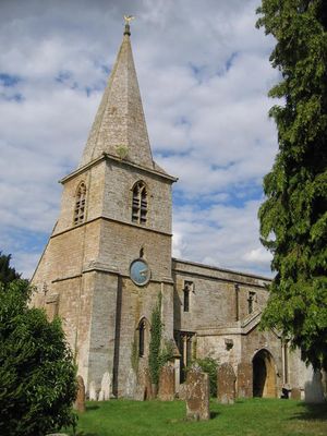
Church of St Mary
554 m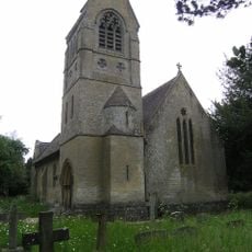
Church of St John the Evangelist
2.8 km
Church of Saint Giles
2.4 km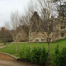
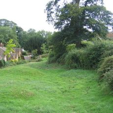
Church End
634 m
Churchyard Gateway Approximately 20 Metres East Of The Vicarage
3.2 km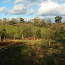
Baptist Chapel
3 km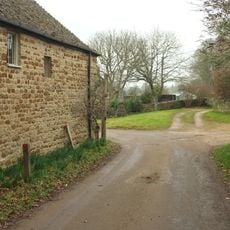
Swerford War Memorial
613 m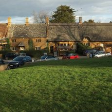
The Post Office
2.7 km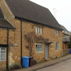
The Old Post Office
2.9 km
Benacre Cottage
2.5 km
House To Right Of The Old Sweet Shop
3.1 km
The Old Surgery
2.9 km
Great Tew House
2.9 km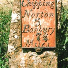
Milestone Approximately 250 Metres West Of The Masons Arms
594 m
Hook Norton Library
3 km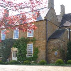
Old Rectory
631 m
21, Old Road
2.7 km
24, The Green
2.7 km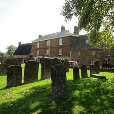
Priestfield
2.9 km
57 And 58, The Lane
2.6 km
The Old Sweet Shop
3.1 km
Gatepiers And Gates Approximately 80 Metres South East Of Great Tew House
3 km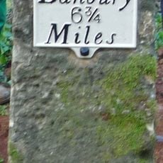
Milestone, Banbury Road; Swerford Heath, 50m W of lane to Heath Farm and 150m E of old toll house
1.7 km
Petra
3.1 km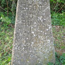
Milestone, Iron Down Hill, at jct with lane to Hill Farm
2.6 kmRecensioni
Ha visitato questo luogo? Tocchi le stelle per valutarlo e condividere la Sua esperienza o foto con la community! Provalo ora! Puoi annullarlo in qualsiasi momento.
Scopri tesori nascosti ad ogni viaggio!
Da piccoli caffè caratteristici a panorami nascosti, fuggi dalla folla e scova i posti che fanno davvero per te. La nostra app ti semplifica tutto: ricerca vocale, filtri furbi, percorsi ottimizzati e dritte autentiche da viaggiatori di tutto il mondo. Scaricala subito per vivere l'avventura sul tuo smartphone!

Un nuovo approccio alla scoperta turistica❞
— Le Figaro
Tutti i luoghi che meritano di essere esplorati❞
— France Info
Un’escursione su misura in pochi clic❞
— 20 Minutes