
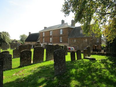
Priestfield, building in Hook Norton, Cherwell, Oxfordshire, UK
Posizione: Hook Norton
Coordinate GPS: 51.99511,-1.48426
Ultimo aggiornamento: 2 marzo 2025 alle 23:43
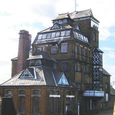
Hook Norton Brewery
735 m
Swerford Castle
2.6 km
Church of St Peter
32 m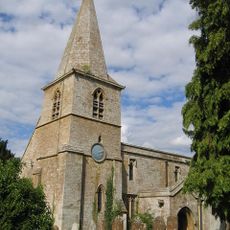
Church of St Mary
2.6 km
Church of Saint Giles
3.6 km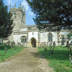
Church of St Andrew
3.2 km
Church End
2.5 km
Baptist Chapel
135 m
Church End House
3.4 km
Swerford War Memorial
2.6 km
Timms Memorial Approximately 10 Metres South East Of Church Of St Andrew
3.2 km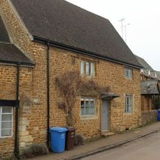
The Old Post Office
314 m
Benacre Cottage
381 m
Harbiage Memorial Approximately 10 Metres South Of Chancel Of Church Of St Andrew
3.2 km
Whichford War Memorial
4.4 km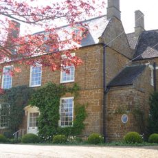
Old Rectory
2.6 km
The Old Surgery
452 m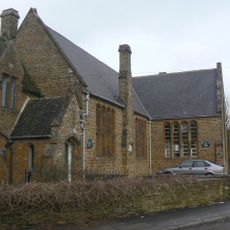
Hook Norton Library
93 m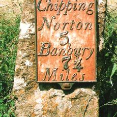
Milestone Approximately 250 Metres West Of The Masons Arms
3.5 km
House To Right Of The Old Sweet Shop
228 m
Malthouse At Hook Norton Brewery
711 m
The Old Sweet Shop
233 m
Churchyard Cross And 2 Tombs Approximately 8 Metres South Pf South Aisle Of Church Of St Andrew
3.2 km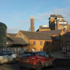
Office Block At Hook Nortomn Brewery
694 m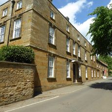
Sibford School
4.3 km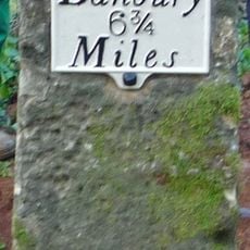
Milestone, Banbury Road; Swerford Heath, 50m W of lane to Heath Farm and 150m E of old toll house
4.1 km
Petra
244 m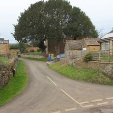
Marrie Mount
546 mRecensioni
Ha visitato questo luogo? Tocchi le stelle per valutarlo e condividere la Sua esperienza o foto con la community! Provalo ora! Puoi annullarlo in qualsiasi momento.
Scopri tesori nascosti ad ogni viaggio!
Da piccoli caffè caratteristici a panorami nascosti, fuggi dalla folla e scova i posti che fanno davvero per te. La nostra app ti semplifica tutto: ricerca vocale, filtri furbi, percorsi ottimizzati e dritte autentiche da viaggiatori di tutto il mondo. Scaricala subito per vivere l'avventura sul tuo smartphone!

Un nuovo approccio alla scoperta turistica❞
— Le Figaro
Tutti i luoghi che meritano di essere esplorati❞
— France Info
Un’escursione su misura in pochi clic❞
— 20 Minutes